580 Terry Path Mattituck, NY 11952
Estimated Value: $1,175,000 - $1,716,000
Studio
--
Bath
--
Sq Ft
21,780
Sq Ft Lot
About This Home
This home is located at 580 Terry Path, Mattituck, NY 11952 and is currently estimated at $1,451,403. 580 Terry Path is a home with nearby schools including Mattituck-Cutchogue Elementary School, Mattituck Junior/Senior High School, and Peconic Community School.
Ownership History
Date
Name
Owned For
Owner Type
Purchase Details
Closed on
Feb 11, 2024
Sold by
Whitrock Kevin K Est and Whitrock
Bought by
Whitrock Margaret E
Current Estimated Value
Purchase Details
Closed on
Jul 29, 1998
Sold by
Whitrock Kevin K
Bought by
Whitrock Kevin K and Whitrock Margaret E
Purchase Details
Closed on
Jul 22, 1998
Sold by
Whitrock Lucinda
Bought by
Whitrock Kevin K and Whitrock Margaret E
Create a Home Valuation Report for This Property
The Home Valuation Report is an in-depth analysis detailing your home's value as well as a comparison with similar homes in the area
Home Values in the Area
Average Home Value in this Area
Purchase History
| Date | Buyer | Sale Price | Title Company |
|---|---|---|---|
| Whitrock Margaret E | -- | None Available | |
| Whitrock Margaret E | -- | None Available | |
| Whitrock Kevin K | -- | -- | |
| Whitrock Kevin K | -- | -- |
Source: Public Records
Tax History
| Year | Tax Paid | Tax Assessment Tax Assessment Total Assessment is a certain percentage of the fair market value that is determined by local assessors to be the total taxable value of land and additions on the property. | Land | Improvement |
|---|---|---|---|---|
| 2024 | $14,866 | $9,500 | $1,500 | $8,000 |
| 2023 | $14,866 | $9,500 | $1,500 | $8,000 |
| 2022 | $14,162 | $9,500 | $1,500 | $8,000 |
| 2021 | $13,340 | $9,500 | $1,500 | $8,000 |
| 2020 | $3,578 | $9,200 | $1,500 | $7,700 |
| 2019 | $3,578 | $0 | $0 | $0 |
| 2018 | $6,468 | $4,700 | $1,500 | $3,200 |
| 2017 | $6,574 | $4,700 | $1,500 | $3,200 |
| 2016 | $6,646 | $4,700 | $1,500 | $3,200 |
| 2015 | -- | $4,700 | $1,500 | $3,200 |
| 2014 | -- | $4,700 | $1,500 | $3,200 |
Source: Public Records
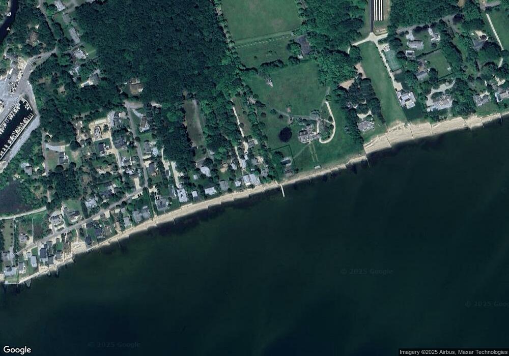
Map
Nearby Homes
- 4415 Camp Mineola Rd
- 2360 Marlene Ln
- 1305 Sigsbee Rd
- 2280 Deep Hole Dr
- 385 New Suffolk Ave
- 955 Deep Hole Dr
- 13100 Main Rd
- 375 Factory Ave
- 955 Blossom Bend
- 1450 Wickham Ave
- 210 3rd St
- 540 Conklin Rd
- 9450 Old Sound Ave
- 725 Youngs Ave
- 15 Youngs Ave
- 10100 New Suffolk Ave
- 5875 Peconic Bay Blvd
- 780 Westview Dr
- 2200 Laurel Trail
- 5218 Peconic Bay Blvd
- 540 Terry Path
- 620 Terry Path
- 490 Terry Path
- 420 Terry Path
- 460 Terry Path
- 300 Terry Path
- 240 Terry Path
- 200 Terry Path
- 120 Terry Path
- 3605 Camp Mineola Rd
- 3505 Camp Mineola Rd
- 3285 Camp Mineola Rd
- 3655 Camp Mineola Rd
- 3460 Camp Mineola Rd
- 50 Fay Ct
- 50 Park Ave
- 100 Fay Ct
- 3705 Camp Mineola Rd
- 3245 Camp Mineola Rd
- 200 Fay Ct
Your Personal Tour Guide
Ask me questions while you tour the home.