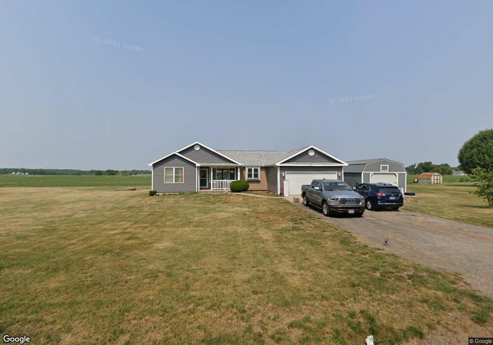
580 West St Dunfermline, IL 61524
Estimated Value: $93,000 - $219,000
3
Beds
2
Baths
1,548
Sq Ft
$117/Sq Ft
Est. Value
About This Home
This home is located at 580 West St, Dunfermline, IL 61524 and is currently estimated at $181,112, approximately $116 per square foot. 580 West St is a home with nearby schools including Canton High School.
Ownership History
Date
Name
Owned For
Owner Type
Purchase Details
Closed on
May 17, 2017
Sold by
Covey Terry D and Covey April D
Bought by
Lockhart James and Lockhart Ann E
Current Estimated Value
Home Financials for this Owner
Home Financials are based on the most recent Mortgage that was taken out on this home.
Original Mortgage
$132,456
Outstanding Balance
$110,093
Interest Rate
4.08%
Mortgage Type
FHA
Estimated Equity
$71,019
Purchase Details
Closed on
Jul 1, 2011
Sold by
Rosscharles
Bought by
Coveyterry Coveyterry D and Coveyterry April D
Purchase Details
Closed on
Mar 19, 2007
Sold by
Kingsleydon
Bought by
Rosscharles
Create a Home Valuation Report for This Property
The Home Valuation Report is an in-depth analysis detailing your home's value as well as a comparison with similar homes in the area
Home Values in the Area
Average Home Value in this Area
Purchase History
| Date | Buyer | Sale Price | Title Company |
|---|---|---|---|
| Lockhart James | $135,000 | Terrill Title | |
| Coveyterry Coveyterry D | $138,000 | -- | |
| Rosscharles | $106,000 | -- |
Source: Public Records
Mortgage History
| Date | Status | Borrower | Loan Amount |
|---|---|---|---|
| Open | Lockhart James | $132,456 |
Source: Public Records
Tax History Compared to Growth
Tax History
| Year | Tax Paid | Tax Assessment Tax Assessment Total Assessment is a certain percentage of the fair market value that is determined by local assessors to be the total taxable value of land and additions on the property. | Land | Improvement |
|---|---|---|---|---|
| 2024 | $4,052 | $58,680 | $4,370 | $54,310 |
| 2023 | $4,052 | $56,150 | $4,180 | $51,970 |
| 2022 | $3,888 | $56,150 | $4,180 | $51,970 |
| 2021 | $3,888 | $48,290 | $4,180 | $44,110 |
| 2020 | $3,276 | $46,680 | $4,040 | $42,640 |
| 2019 | $3,297 | $47,420 | $4,100 | $43,320 |
| 2018 | $3,348 | $46,510 | $4,020 | $42,490 |
| 2017 | $3,543 | $46,510 | $4,020 | $42,490 |
| 2016 | $301 | $3,880 | $3,880 | $0 |
| 2015 | $300 | $3,880 | $3,880 | $0 |
| 2013 | -- | $3,780 | $3,780 | $0 |
| 2012 | -- | $3,690 | $3,690 | $0 |
Source: Public Records
Map
Nearby Homes
- 126 N 6th Ave
- 601 Lincoln St
- 300 4th St
- 202 Burlington Ave
- 0 E New Bridge Rd
- 23611 County Highway 22
- 856 S 2nd Ave
- 717 S 6th Ave
- 624 S Main St
- 564 S Main St
- 109 E Oak St
- 640 Grant Place
- 285 Fulton Place
- 0 N County Highway 9 Unit RMAPA1260951
- 412 W Maple St
- 365 S Main St
- 604 Anderson Place
- 351 S Avenue D
- 24211 N Carver Rd
- 944 E Walnut St