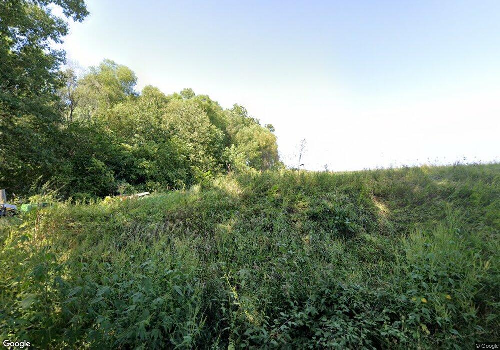
5800 N 800th Rd Colchester, IL 62326
Estimated Value: $95,463 - $152,000
--
Bed
--
Bath
--
Sq Ft
3.15
Acres
About This Home
This home is located at 5800 N 800th Rd, Colchester, IL 62326 and is currently estimated at $122,116. 5800 N 800th Rd is a home located in McDonough County with nearby schools including West Prairie High School.
Ownership History
Date
Name
Owned For
Owner Type
Purchase Details
Closed on
Nov 19, 2022
Sold by
Anthony James
Bought by
Anthony James
Current Estimated Value
Purchase Details
Closed on
Sep 28, 2021
Sold by
Patrick Mary Jo
Bought by
Mary J O Patrick Trust and Patrick
Purchase Details
Closed on
Aug 28, 2020
Sold by
Clark Jeffrey
Bought by
James Anthony and James Amy
Purchase Details
Closed on
Sep 17, 2015
Sold by
Clark P J and Clark Patrick J
Bought by
Clark Ronnie L and Clark Martha L
Create a Home Valuation Report for This Property
The Home Valuation Report is an in-depth analysis detailing your home's value as well as a comparison with similar homes in the area
Home Values in the Area
Average Home Value in this Area
Purchase History
| Date | Buyer | Sale Price | Title Company |
|---|---|---|---|
| Anthony James | -- | -- | |
| Mary J O Patrick Trust | -- | None Listed On Document | |
| James Anthony | $61,000 | None Available | |
| Clark Ronnie L | $72,000 | None Available |
Source: Public Records
Tax History Compared to Growth
Tax History
| Year | Tax Paid | Tax Assessment Tax Assessment Total Assessment is a certain percentage of the fair market value that is determined by local assessors to be the total taxable value of land and additions on the property. | Land | Improvement |
|---|---|---|---|---|
| 2024 | $1,430 | $22,153 | $5,434 | $16,719 |
| 2023 | $1,332 | $20,960 | $5,141 | $15,819 |
| 2022 | $1,248 | $19,933 | $4,889 | $15,044 |
| 2021 | $1,070 | $11,927 | $4,787 | $7,140 |
| 2020 | $1,044 | $16,435 | $4,707 | $11,728 |
| 2019 | $1,059 | $11,922 | $4,785 | $7,137 |
| 2018 | $1,055 | $12,146 | $4,875 | $7,271 |
| 2017 | $1,074 | $12,146 | $4,875 | $7,271 |
| 2016 | $1,056 | $11,907 | $4,779 | $7,128 |
| 2015 | $735 | $8,205 | $4,700 | $3,505 |
| 2014 | $657 | $8,083 | $4,630 | $3,453 |
| 2013 | $643 | $7,626 | $4,368 | $3,258 |
Source: Public Records
Map
Nearby Homes
- 510 E Roberts St
- 70 Constitution Rd
- 0 Champaign Rd
- 102 N Elizabeth St
- 306 Debbie St
- 506 W Mclean St
- 114 Mclean St
- 718 N Coal St
- N 525th Ln
- 000 N 525th Lane-62 11 Acres
- 000 N 525th Rd-51 91-Acers
- N 525th Rd
- 10110 E 850th St
- 6520 E 875th St
- 4341 E 400th St
- 11250 E 900th St
- 8510 N 1250th Rd
- 3 Rye Ct
- 100 S Quail Walk Rd
- 105 Arlington Dr
- 580 N 800th Rd
- 5801 N 800th Rd
- 5625 N 800th Rd
- 8200 E 600th St
- 5535 N 800th Rd
- 7945 E 600th St
- 8236 E 550th St
- 8420 E 550th St
- 0 E 600th St
- 7670 E 600th St
- 8640 E 550th St
- 7755 E 525th St
- 8735 E 600th St
- 8765 E 550th St
- 7610 E 525th St
- 8235 E 650th St
- 8825 E 550th St
- 8005 E 650th St
- 7280 E 600th St
- 0 E 600th St
