5800 Rolling Hills Dr Rochester, MI 48306
Estimated Value: $780,462 - $1,146,000
3
Beds
2
Baths
2,473
Sq Ft
$385/Sq Ft
Est. Value
About This Home
This home is located at 5800 Rolling Hills Dr, Rochester, MI 48306 and is currently estimated at $951,116, approximately $384 per square foot. 5800 Rolling Hills Dr is a home located in Oakland County with nearby schools including Musson Elementary School, Van Hoosen Middle School, and Rochester Adams High School.
Ownership History
Date
Name
Owned For
Owner Type
Purchase Details
Closed on
May 14, 2004
Sold by
Whiting Lawrence C and Whiting Janet L
Bought by
Brady Steven and Brady Judith
Current Estimated Value
Home Financials for this Owner
Home Financials are based on the most recent Mortgage that was taken out on this home.
Original Mortgage
$512,000
Outstanding Balance
$220,850
Interest Rate
4.37%
Mortgage Type
Purchase Money Mortgage
Estimated Equity
$730,266
Create a Home Valuation Report for This Property
The Home Valuation Report is an in-depth analysis detailing your home's value as well as a comparison with similar homes in the area
Home Values in the Area
Average Home Value in this Area
Purchase History
| Date | Buyer | Sale Price | Title Company |
|---|---|---|---|
| Brady Steven | $640,000 | -- |
Source: Public Records
Mortgage History
| Date | Status | Borrower | Loan Amount |
|---|---|---|---|
| Open | Brady Steven | $512,000 |
Source: Public Records
Tax History Compared to Growth
Tax History
| Year | Tax Paid | Tax Assessment Tax Assessment Total Assessment is a certain percentage of the fair market value that is determined by local assessors to be the total taxable value of land and additions on the property. | Land | Improvement |
|---|---|---|---|---|
| 2024 | $3,464 | $332,000 | $0 | $0 |
| 2023 | $3,331 | $309,120 | $0 | $0 |
| 2022 | $4,933 | $286,470 | $0 | $0 |
| 2021 | $4,599 | $280,550 | $0 | $0 |
| 2020 | $3,218 | $277,770 | $0 | $0 |
| 2019 | $4,855 | $260,950 | $0 | $0 |
| 2018 | $4,874 | $248,610 | $0 | $0 |
| 2017 | $4,799 | $241,750 | $0 | $0 |
| 2016 | $4,774 | $231,480 | $0 | $0 |
| 2015 | -- | $216,630 | $0 | $0 |
| 2014 | -- | $193,280 | $0 | $0 |
| 2011 | -- | $160,580 | $0 | $0 |
Source: Public Records
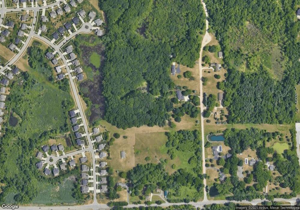
Map
Nearby Homes
- 5700 Rolling Hills Dr
- 1906 Independence Ct
- 3674 Merriweather Ln
- 3633 Thornwood Dr
- 3185 Saint James Ct
- 3582 Tremonte Cir S Unit 276
- 3577 Oakmonte Blvd
- 3498 Oakmonte Blvd Unit 122
- 3574 Oakmonte Blvd
- 3961 Ridgemonte Ct
- 5043 Belmonte Dr Unit 65
- 3273 Salem Dr
- 5826 Murfield Dr
- 5724 Murfield Dr
- 2821 Addison Cir S
- 4136 Oakland Ridge Dr
- 1609 Kilburn Rd N
- 2935 Woodford Cir
- 4035 Hillsdale Dr Unit 275
- 3640 Camden Ct
- 5795 Rolling Hills Dr
- 5600 Rolling Hills Dr
- 5855 Rolling Hills Dr
- 3700 Dutton Rd
- 4905 Ventura Dr
- 5905 Rolling Hills Dr
- 3950 Dutton Rd
- 4941 Ventura Dr
- 0 Laguna Crt Unit 181 5291219
- 4953 Ventura Dr
- 0 Summit Ridge Dr
- 4797 Ventura Dr
- 4892 Ventura Dr
- 4880 Ventura Dr
- 3970 Dutton Rd
- 3684 Dutton Rd
- 4785 Ventura Dr
- 4904 Ventura Dr
- 1346 Irene Ct
- 4868 Ventura Dr