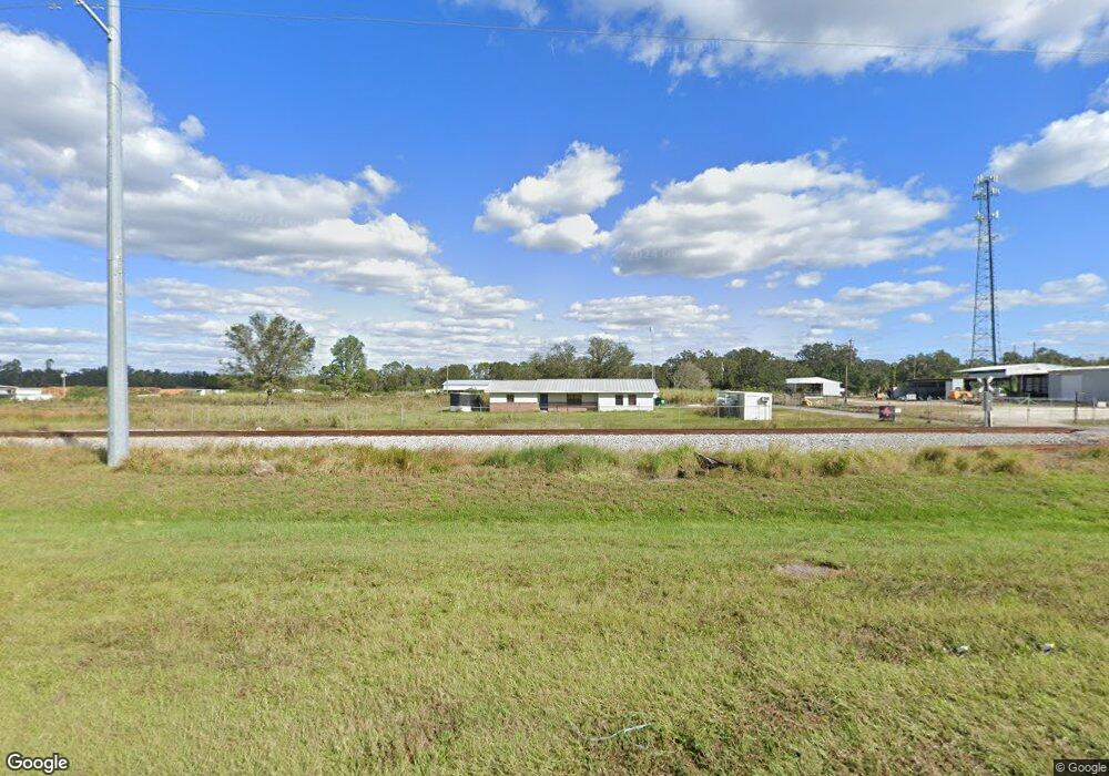
5800 Us Highway 17 S Bartow, FL 33830
Estimated Value: $506,000
--
Bed
1
Bath
1,960
Sq Ft
$258/Sq Ft
Est. Value
About This Home
This home is located at 5800 Us Highway 17 S, Bartow, FL 33830 and is currently priced at $506,000, approximately $258 per square foot. 5800 Us Highway 17 S is a home located in Polk County with nearby schools including Spessard L Holland Elementary School, Bartow Elementary Academy, and Bartow Middle School.
Ownership History
Date
Name
Owned For
Owner Type
Purchase Details
Closed on
Jul 27, 2021
Sold by
Southstate Bank Na
Bought by
Goodrich Partners Llc
Current Estimated Value
Purchase Details
Closed on
Dec 15, 2020
Sold by
Tregear Steven R
Bought by
Centerstate Bank Na
Purchase Details
Closed on
Feb 9, 2018
Sold by
Fmp Groves Lc
Bought by
S & S Contracting Inc
Home Financials for this Owner
Home Financials are based on the most recent Mortgage that was taken out on this home.
Original Mortgage
$360,000
Interest Rate
3.99%
Mortgage Type
Commercial
Create a Home Valuation Report for This Property
The Home Valuation Report is an in-depth analysis detailing your home's value as well as a comparison with similar homes in the area
Home Values in the Area
Average Home Value in this Area
Purchase History
| Date | Buyer | Sale Price | Title Company |
|---|---|---|---|
| Goodrich Partners Llc | $415,000 | Sunbelt Title Agency | |
| Centerstate Bank Na | $30,100 | None Available | |
| S & S Contracting Inc | $450,000 | None Available |
Source: Public Records
Mortgage History
| Date | Status | Borrower | Loan Amount |
|---|---|---|---|
| Previous Owner | S & S Contracting Inc | $360,000 |
Source: Public Records
Tax History Compared to Growth
Tax History
| Year | Tax Paid | Tax Assessment Tax Assessment Total Assessment is a certain percentage of the fair market value that is determined by local assessors to be the total taxable value of land and additions on the property. | Land | Improvement |
|---|---|---|---|---|
| 2025 | $5,860 | $382,947 | $232,425 | $150,522 |
| 2024 | $6,008 | $377,513 | $232,425 | $145,088 |
| 2023 | $6,008 | $387,246 | $232,425 | $154,821 |
| 2022 | $5,928 | $379,811 | $232,425 | $147,386 |
| 2021 | $5,743 | $354,742 | $232,425 | $122,317 |
| 2020 | $7,083 | $450,483 | $273,464 | $177,019 |
| 2018 | $2,449 | $154,910 | $48,185 | $106,725 |
| 2017 | $2,351 | $149,129 | $0 | $0 |
| 2016 | $2,689 | $158,296 | $0 | $0 |
| 2015 | $2,347 | $154,878 | $0 | $0 |
| 2014 | $2,443 | $146,522 | $0 | $0 |
Source: Public Records
Map
Nearby Homes
- 605 Orange St
- 5720 Old Homeland Rd
- 2640 Highway 17
- 1140 E George St
- 4991 Homeland-Garfield Rd
- 960 Lila St
- 865 E Mann Rd
- 1950 El Paso Trail
- 1137 E Mariposa Ave
- 2055 S Floral Ave Unit 42
- 2055 S Floral Ave Unit 133
- 2055 S Floral Ave Unit 15
- 2055 S Floral Ave Unit 39
- 2055 S Floral Ave Unit 306
- 2055 S Floral Ave Unit 246
- 2055 S Floral Ave Unit 67
- 2055 S Floral Ave Unit 245
- 2055 S Floral Ave Unit 291
- 2055 S Floral Ave Unit 262
- 2055 S Floral Ave Unit 181
- 5950 Homeland Cemetery Rd
- 1600 Homeland Garfield Rd
- 1040 Homeland Garfield Rd
- 1600 County Road 640
- 100 Homeland Ave
- 101 Highway 640
- 219 County Road 640
- 119 Homeland Ave
- 600 County Road 640
- 0 Homeland Ave
- 239 1 St
- 239 1st St
- 108 Mimosa Ave
- 1101 Homeland Garfield Rd
- 249 S Highway 640 Ave
- 239 Homeland Ave
- 0 Us Hwy 640
- 248 Homeland Ave
- 189 Mimosa Ave
- 288 Mimosa Ave