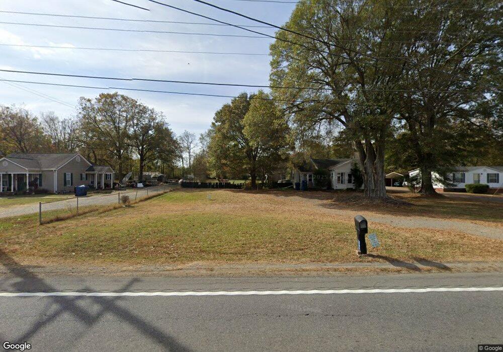
5800 Us Highway 601 S Concord, NC 28025
Estimated Value: $508,105 - $632,000
3
Beds
2
Baths
1,596
Sq Ft
$345/Sq Ft
Est. Value
About This Home
This home is located at 5800 Us Highway 601 S, Concord, NC 28025 and is currently estimated at $550,035, approximately $344 per square foot. 5800 Us Highway 601 S is a home located in Cabarrus County with nearby schools including A.T. Allen Elementary School, Mount Pleasant Middle School, and Mount Pleasant High School.
Ownership History
Date
Name
Owned For
Owner Type
Purchase Details
Closed on
May 14, 2009
Sold by
Lambert Keith
Bought by
Lambert William Keith and Lambert Le Ann H
Current Estimated Value
Home Financials for this Owner
Home Financials are based on the most recent Mortgage that was taken out on this home.
Original Mortgage
$126,000
Outstanding Balance
$79,781
Interest Rate
4.89%
Mortgage Type
Stand Alone Refi Refinance Of Original Loan
Estimated Equity
$470,254
Purchase Details
Closed on
Mar 5, 2003
Sold by
Plyler Linda C
Bought by
Lambert Keith
Home Financials for this Owner
Home Financials are based on the most recent Mortgage that was taken out on this home.
Original Mortgage
$40,000
Interest Rate
5.88%
Mortgage Type
Purchase Money Mortgage
Purchase Details
Closed on
Nov 4, 1999
Sold by
Plyler Boyce
Bought by
Plyler Boyce and Plyler Linda C
Create a Home Valuation Report for This Property
The Home Valuation Report is an in-depth analysis detailing your home's value as well as a comparison with similar homes in the area
Home Values in the Area
Average Home Value in this Area
Purchase History
| Date | Buyer | Sale Price | Title Company |
|---|---|---|---|
| Lambert William Keith | -- | None Available | |
| Lambert Keith | $80,000 | -- | |
| Plyler Boyce | -- | -- |
Source: Public Records
Mortgage History
| Date | Status | Borrower | Loan Amount |
|---|---|---|---|
| Open | Lambert William Keith | $126,000 | |
| Closed | Lambert Keith | $40,000 |
Source: Public Records
Tax History Compared to Growth
Tax History
| Year | Tax Paid | Tax Assessment Tax Assessment Total Assessment is a certain percentage of the fair market value that is determined by local assessors to be the total taxable value of land and additions on the property. | Land | Improvement |
|---|---|---|---|---|
| 2025 | $3,108 | $453,110 | $220,420 | $232,690 |
| 2024 | $3,108 | $453,110 | $220,420 | $232,690 |
| 2023 | $2,332 | $274,400 | $121,810 | $152,590 |
| 2022 | $2,278 | $274,400 | $121,810 | $152,590 |
| 2021 | $2,236 | $274,400 | $121,810 | $152,590 |
| 2020 | $2,236 | $274,400 | $121,810 | $152,590 |
| 2019 | $2,240 | $274,880 | $145,010 | $129,870 |
| 2018 | $2,185 | $274,880 | $145,010 | $129,870 |
| 2017 | $1,799 | $238,220 | $145,010 | $93,210 |
| 2016 | $1,799 | $234,430 | $145,010 | $89,420 |
| 2015 | $1,747 | $234,430 | $145,010 | $89,420 |
| 2014 | $1,747 | $234,430 | $145,010 | $89,420 |
Source: Public Records
Map
Nearby Homes
- 5625 Us Highway 601 S
- 3500 Biggers Rd
- 3400 Biggers Rd
- 3715 Vanderburg Dr
- 2555 Biggers Rd
- 4815 Chadwick Dr
- 5306 Club View Dr
- 3850 Willow Grove Ln Unit 24
- 3350 Miami Church Rd
- 7787 Us Highway 601 S
- 5822 Meeting St
- 6001 Firethorne Ln
- 6297 Rocky Wagon Ln SW
- 6311 Rocky Wagon Ln SW
- 6919 Clara Cir
- 5917 Ashebrook Dr
- 5650 Miami Church Rd
- 6401 Rocky Wagon Ln SW
- 5582 Flowes Store Rd
- 4875 Yellow Poplar Ln
- 5812 Us Highway 601 S
- 5818 Hwy 601
- 5824 Us Highway 601 S
- 5818 Us Highway 601 S
- 5830 Us Highway 601 S
- 5806 Us Highway 601 S
- 5836 Us Highway 601 S
- 5836 Us Hwy Hwy
- 5836 Us Hwy 601 Hwy
- 5831 Us-601
- 5836 U S 601
- 5770 Old Monroe Cir Unit 26-37
- 5849 601 Hwy S
- 5835 Us Highway 601 S
- 5849 Us Highway 601 S
- 5689 S Hwy 601 Hwy
- 5726 Old Monroe Cir
- 5695 Cold Springs Rd S
- 5845 Us Highway 601 S
- 5698 Old Monroe Cir