5801 Big Point Rd Moss Point, MS 39562
Estimated Value: $312,244 - $391,000
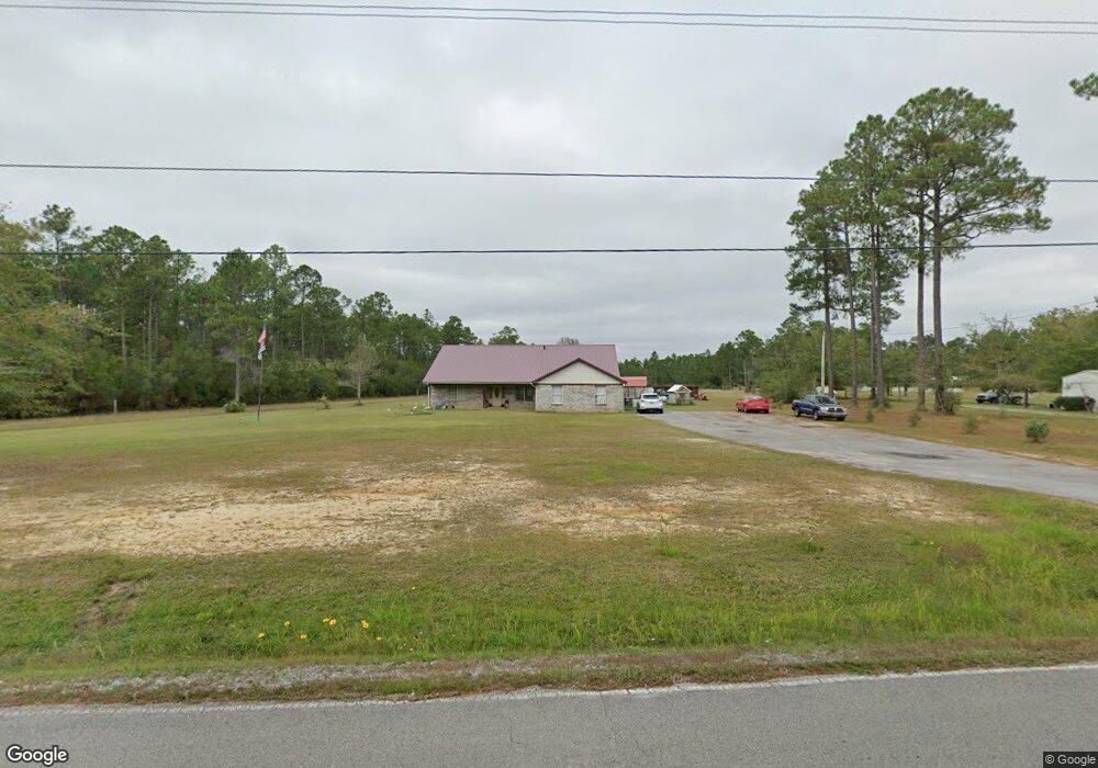
About This Home
This home is located at 5801 Big Point Rd, Moss Point, MS 39562 and is currently estimated at $350,081, approximately $154 per square foot. 5801 Big Point Rd is a home located in Jackson County with nearby schools including East Central Lower Elementary School, East Central Upper Elementary School, and East Central Middle School.
Ownership History
We collect this data history from publicly available records. To have your information removed, we recommend requesting removal directly through your county’s website.
Purchase Details
Home Financials for this Owner
Home Financials are based on the most recent Mortgage that was taken out on this home.Purchase History
We collect this data history from publicly available records. To have your information removed, we recommend requesting removal directly through your county’s website.
| Date | Buyer | Sale Price | Title Company |
|---|---|---|---|
| -- | None Available |
Mortgage History
We collect this data history from publicly available records. To have your information removed, we recommend requesting removal directly through your county’s website.
| Date | Status | Borrower | Loan Amount |
|---|---|---|---|
| Open | $203,434 |
Tax History
We collect this data history from publicly available records. To have your information removed, we recommend requesting removal directly through your county’s website.
| Year | Tax Paid | Tax Assessment Tax Assessment Total Assessment is a certain percentage of the fair market value that is determined by local assessors to be the total taxable value of land and additions on the property. | Land | Improvement |
|---|---|---|---|---|
| 2025 | $1,986 | $19,236 | $3,609 | $15,627 |
| 2024 | $1,986 | $18,444 | $3,514 | $14,930 |
| 2023 | $1,914 | $18,444 | $3,514 | $14,930 |
| 2022 | $1,851 | $18,444 | $3,514 | $14,930 |
| 2021 | $3,238 | $27,779 | $5,271 | $22,508 |
| 2020 | $1,215 | $17,556 | $3,194 | $14,362 |
| 2019 | $1,202 | $17,556 | $3,194 | $14,362 |
| 2018 | $1,227 | $17,570 | $3,194 | $14,376 |
| 2017 | $1,247 | $17,570 | $3,194 | $14,376 |
| 2016 | $1,198 | $17,570 | $3,194 | $14,376 |
| 2015 | $1,069 | $164,340 | $31,940 | $132,400 |
| 2014 | $1,100 | $16,867 | $3,194 | $13,673 |
| 2013 | $1,065 | $16,880 | $3,194 | $13,686 |
Map
- 0 Ms-613 Hwy Unit 4107607
- 0 Ms-613 Hwy Unit 4107612
- 14200 Timber Ridge Dr
- 0 Perry St
- 13704 Coleman St
- 26.1 Acres Brinkman Rd E
- 17713 Highway 613
- 7201 Bentwood Dr
- 16929 Shenandoah Rd
- 3016 Ed Parker Rd
- 17500 Goff Farm Rd
- 16408 Culbert Rd
- 14004 Ann Rd
- 13915 Ann Rd
- 2432 Pascagoula River Rd
- 0 Pascagoula Unit 4151963
- 6312 Bond Hill Rd
- 14015 Lily Orchard Rd
- 0 Rayford Shumock Rd Unit 24406728
- 0 Rayford Shumock Rd Unit 4121875
- 5813 Big Point Rd
- 5800 Big Point Rd
- 6001 Big Point Rd
- 6006 Big Point Rd
- 6100 Big Point Rd
- 0 Big Point Rd Unit 3252168
- 0 Big Point Rd Unit 3258846
- 0 Big Point Rd Unit 3266873
- 0 Big Point Rd Unit 3269956
- 0 Big Point Rd Unit 3362779
- 16037 Grafe Homestead Rd
- Lot 47 Lowtide
- Lot 70 Lowtide
- 6350 Big Point Rd
- 15400 Lambert Rd
- 15401 Lambert Rd
- 15424 Paul Coleman Rd
- 15421 Paul Coleman Rd
- 6400 Big Point Rd
- 15504 Paul Coleman Rd
Ask me questions while you tour the home.