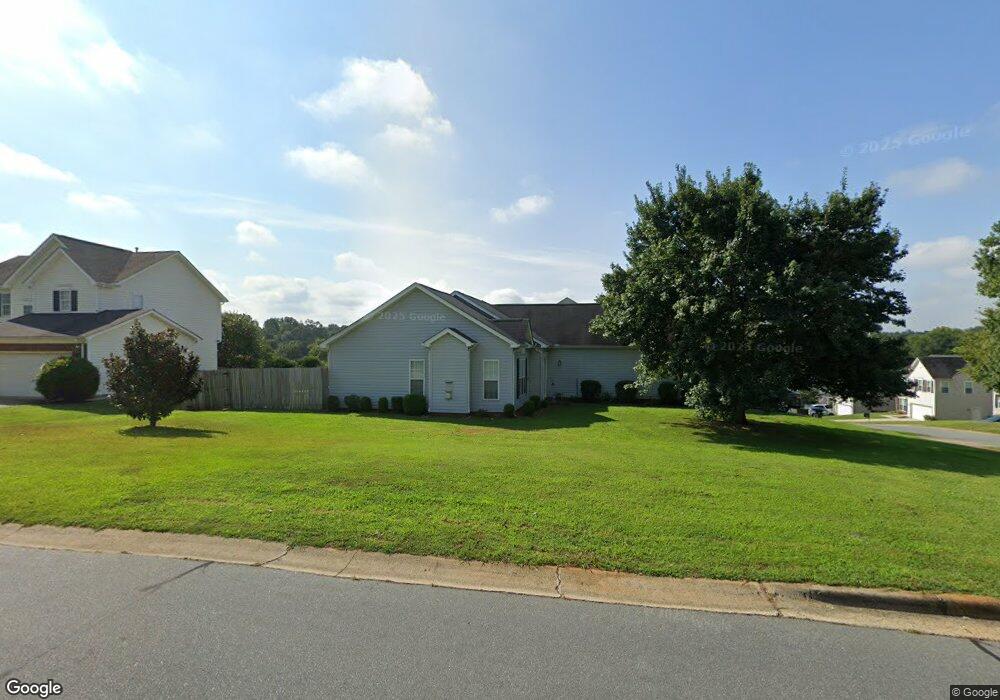
5801 Dove Point Dr SW Concord, NC 28025
Estimated Value: $303,676 - $316,000
3
Beds
2
Baths
1,148
Sq Ft
$271/Sq Ft
Est. Value
About This Home
This home is located at 5801 Dove Point Dr SW, Concord, NC 28025 and is currently estimated at $310,669, approximately $270 per square foot. 5801 Dove Point Dr SW is a home located in Cabarrus County with nearby schools including Rocky River Elementary School, J.N. Fries Middle School, and Branch Christian Academy.
Ownership History
Date
Name
Owned For
Owner Type
Purchase Details
Closed on
Apr 23, 2004
Sold by
Luciano Nicholas D
Bought by
Luciano Terry L
Current Estimated Value
Purchase Details
Closed on
May 21, 1999
Sold by
New Fortis Corporation Inc
Bought by
Luciano Nicholas D and Luciano Terry L
Home Financials for this Owner
Home Financials are based on the most recent Mortgage that was taken out on this home.
Original Mortgage
$104,800
Outstanding Balance
$26,697
Interest Rate
6.87%
Mortgage Type
FHA
Estimated Equity
$283,972
Create a Home Valuation Report for This Property
The Home Valuation Report is an in-depth analysis detailing your home's value as well as a comparison with similar homes in the area
Home Values in the Area
Average Home Value in this Area
Purchase History
| Date | Buyer | Sale Price | Title Company |
|---|---|---|---|
| Luciano Terry L | -- | -- | |
| Luciano Nicholas D | $105,000 | -- |
Source: Public Records
Mortgage History
| Date | Status | Borrower | Loan Amount |
|---|---|---|---|
| Open | Luciano Nicholas D | $104,800 |
Source: Public Records
Tax History Compared to Growth
Tax History
| Year | Tax Paid | Tax Assessment Tax Assessment Total Assessment is a certain percentage of the fair market value that is determined by local assessors to be the total taxable value of land and additions on the property. | Land | Improvement |
|---|---|---|---|---|
| 2025 | $3,101 | $311,330 | $66,000 | $245,330 |
| 2024 | $3,101 | $311,330 | $66,000 | $245,330 |
| 2023 | $1,980 | $162,330 | $40,000 | $122,330 |
| 2022 | $1,980 | $162,330 | $40,000 | $122,330 |
| 2021 | $1,980 | $162,330 | $40,000 | $122,330 |
| 2020 | $1,980 | $162,330 | $40,000 | $122,330 |
| 2019 | $1,453 | $119,090 | $27,000 | $92,090 |
| 2018 | $1,429 | $119,090 | $27,000 | $92,090 |
| 2017 | $1,405 | $119,090 | $27,000 | $92,090 |
| 2016 | $834 | $104,100 | $20,000 | $84,100 |
| 2015 | -- | $104,100 | $20,000 | $84,100 |
| 2014 | -- | $104,100 | $20,000 | $84,100 |
Source: Public Records
Map
Nearby Homes
- 910/820 Archibald Rd
- 5209 Moonlight Trail SW
- 925/917 Silver Fox Dr
- 2085 Chapel Creek Rd SW
- 1433 Moss Creek Dr
- 6762 Thistle Down Dr
- 4436 Falls Lake Dr SW
- 1150 Hearth Ln SW
- 5356 Zion Church Rd
- 4294 Kiser Woods Dr SW
- 7218 Waterwheel St SW
- 4274 Kiser Woods Dr SW
- 123 Softwind Ln
- 7362 Millstone Cir SW
- 7368 Millstone Cir SW
- 208 Falcon Dr
- 4227 Kiser Woods Dr SW
- 2595 Shamrock Rd
- 1649 Scarbrough Cir SW
- 7321 Waterwheel St SW
- 5807 Dove Point Dr SW
- 1013 Boulder Dr
- 5813 Dove Point Dr SW
- 1016 Boulder Dr
- 1009 Boulder Dr
- 1021 Boulder Dr
- 5891 Mahogany Place SW
- 5791 Dove Point Dr SW
- 1012 Boulder Dr
- 5897 Mahogany Place SW
- 5819 Dove Point Dr SW
- 5806 Dove Point Dr SW
- 5787 Dove Point Dr SW
- 1008 Boulder Dr
- 1005 Boulder Dr
- 1025 Boulder Dr
- 5885 Mahogany Place SW
- 5825 Dove Point Dr SW
- 1024 Boulder Dr
- 1004 Boulder Dr