5801 Sarpy Rd Alliance, NE 69301
Estimated Value: $143,000 - $266,000
3
Beds
1
Bath
1,417
Sq Ft
$153/Sq Ft
Est. Value
About This Home
This home is located at 5801 Sarpy Rd, Alliance, NE 69301 and is currently estimated at $216,596, approximately $152 per square foot. 5801 Sarpy Rd is a home located in Box Butte County with nearby schools including Alliance High School and Immanuel Evangelical Lutheran School.
Create a Home Valuation Report for This Property
The Home Valuation Report is an in-depth analysis detailing your home's value as well as a comparison with similar homes in the area
Home Values in the Area
Average Home Value in this Area
Tax History Compared to Growth
Tax History
| Year | Tax Paid | Tax Assessment Tax Assessment Total Assessment is a certain percentage of the fair market value that is determined by local assessors to be the total taxable value of land and additions on the property. | Land | Improvement |
|---|---|---|---|---|
| 2024 | $269 | $200,920 | $29,150 | $171,770 |
| 2023 | $904 | $193,920 | $22,150 | $171,770 |
| 2022 | $1,191 | $193,920 | $22,150 | $171,770 |
| 2021 | $1,251 | $193,920 | $22,150 | $171,770 |
| 2020 | $330 | $136,470 | $22,150 | $114,320 |
| 2019 | $286 | $134,613 | $22,118 | $112,495 |
| 2018 | $1,999 | $134,620 | $22,125 | $112,495 |
| 2017 | $313 | $127,925 | $22,125 | $105,800 |
| 2016 | $309 | $128,090 | $22,125 | $105,965 |
| 2015 | $361 | $122,753 | $19,125 | $103,628 |
| 2014 | $361 | $112,197 | $17,125 | $95,072 |
Source: Public Records
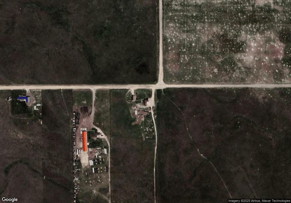
Map
Nearby Homes
- TBD Nebrado St
- 620 Hudson Ave
- 613 Mississippi Ave
- 719 E 8th St
- 667 E 9th St
- 615 Sweetwater Ave
- 420 Laramie Ave
- 316 Big Horn Ave
- 917 Missouri Ave
- 1004 Missouri Ave
- 1120 Potash Ave
- 621 Emerson Ave
- 719 Toluca Ave
- 904 Laramie Ave
- 907 Toluca Ave
- 1019 Laramie Ave
- 924 Big Horn Ave
- 911 Emerson Ave
- 819 Black Hills Ave
- 936 Platte Ave