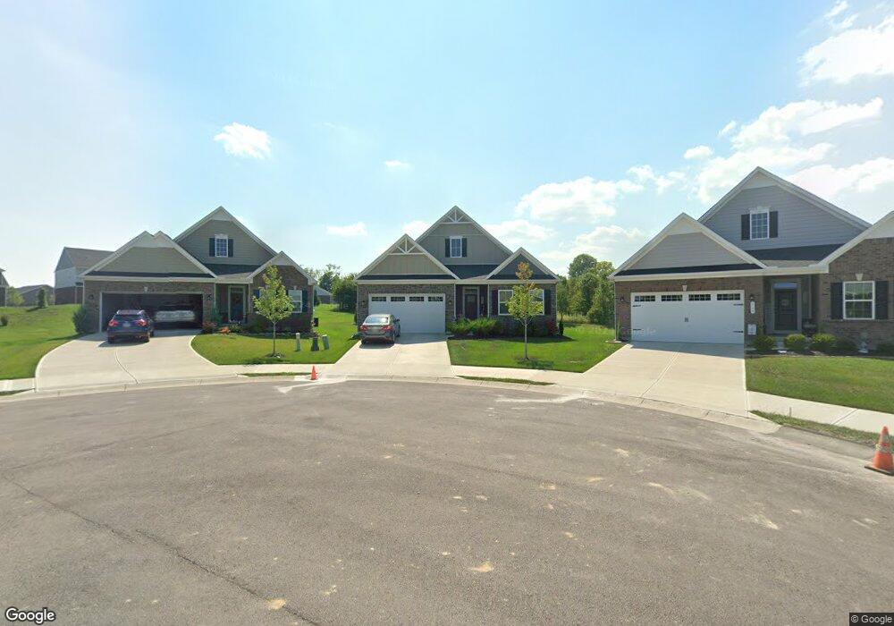
5801 Treeside Dr Liberty Township, OH 45044
Estimated Value: $433,000 - $619,000
2
Beds
3
Baths
1,947
Sq Ft
$283/Sq Ft
Est. Value
About This Home
This home is located at 5801 Treeside Dr, Liberty Township, OH 45044 and is currently estimated at $550,803, approximately $282 per square foot. 5801 Treeside Dr is a home with nearby schools including Independence Elementary School, Liberty Junior School, and Lakota East High School.
Ownership History
Date
Name
Owned For
Owner Type
Purchase Details
Closed on
Oct 8, 2021
Sold by
Nvr Inc
Bought by
Sprockett Thomas William and Sprockett Elizabeth Kay
Current Estimated Value
Home Financials for this Owner
Home Financials are based on the most recent Mortgage that was taken out on this home.
Original Mortgage
$267,875
Outstanding Balance
$244,277
Interest Rate
2.8%
Mortgage Type
New Conventional
Estimated Equity
$306,526
Purchase Details
Closed on
Jun 18, 2021
Sold by
Fieldstone Farms Development Llc
Bought by
Nvr Inc
Create a Home Valuation Report for This Property
The Home Valuation Report is an in-depth analysis detailing your home's value as well as a comparison with similar homes in the area
Home Values in the Area
Average Home Value in this Area
Purchase History
| Date | Buyer | Sale Price | Title Company |
|---|---|---|---|
| Sprockett Thomas William | $457,875 | None Available | |
| Nvr Inc | $81,090 | None Available |
Source: Public Records
Mortgage History
| Date | Status | Borrower | Loan Amount |
|---|---|---|---|
| Open | Sprockett Thomas William | $267,875 |
Source: Public Records
Tax History Compared to Growth
Tax History
| Year | Tax Paid | Tax Assessment Tax Assessment Total Assessment is a certain percentage of the fair market value that is determined by local assessors to be the total taxable value of land and additions on the property. | Land | Improvement |
|---|---|---|---|---|
| 2024 | $6,869 | $175,070 | $21,210 | $153,860 |
| 2023 | $6,784 | $175,070 | $21,210 | $153,860 |
| 2022 | $6,296 | $124,360 | $21,210 | $103,150 |
| 2021 | $599 | $11,030 | $11,030 | $0 |
| 2020 | $0 | $0 | $0 | $0 |
Source: Public Records
Map
Nearby Homes
- 7108 Shady Brook Bend
- 7113 Shady Brook Bend
- 5913 Stones Throw Way
- 7120 Shady Brook Bend
- 5933 Old Pebble Path
- 7377 Burton Dr
- 6919 Millikin Rd
- 5602 Schlade Ct
- 7497 Burton Dr
- 7221 Kyles Station Rd
- 7644 Millikin Rd
- 7095 Kyles Station Rd
- 5725 Hawthrone Reserve Dr
- 6335 Gem Stone Dr
- 6300 Lindsey Ct
- 6777 Mahogany Ct
- 7542 Hickory Knoll Dr
- 7241 Stonebrook Ct
- 6872 Fox Trot Ct
- 7025 Welney Run
- 5803 Treeside Dr
- 5799 Treeside Dr
- 5805 Treeside Dr
- 5797 Treeside Dr
- 5807 Treeside Dr
- 7106 Shady Brook Bend
- 7104 Shady Brook Bend
- 5795 Treeside Dr
- 5806 Treeside Dr
- 7105 Shady Brook Bend
- 5793 Treeside Dr
- 7107 Shady Brook Bend
- 7110 Shady Brook Bend
- 5813 Treeside Dr
- 5810 Treeside Dr
- 7109 Shady Brook Bend
- 5789 Treeside Dr
- 7112 Shady Brook Bend
- 5796 Treeside Dr
- 7114 Shady Brook Bend