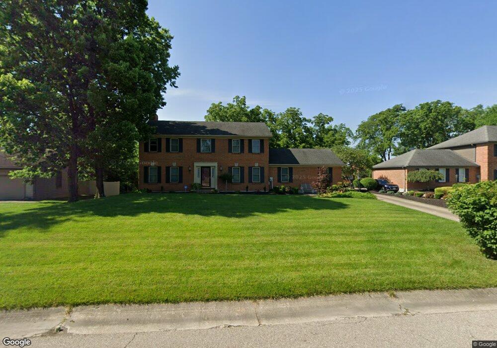
5801 Zaring Dr West Chester, OH 45069
West Chester Township NeighborhoodEstimated Value: $413,000 - $458,000
4
Beds
3
Baths
2,385
Sq Ft
$182/Sq Ft
Est. Value
About This Home
This home is located at 5801 Zaring Dr, West Chester, OH 45069 and is currently estimated at $434,222, approximately $182 per square foot. 5801 Zaring Dr is a home located in Butler County with nearby schools including Freedom Elementary School, Lakota Ridge Junior School, and Lakota West High School.
Ownership History
Date
Name
Owned For
Owner Type
Purchase Details
Closed on
Jul 24, 2001
Sold by
Ford Cynthia W
Bought by
Allen Edward K and Allen Marla S
Current Estimated Value
Home Financials for this Owner
Home Financials are based on the most recent Mortgage that was taken out on this home.
Original Mortgage
$65,000
Interest Rate
6.12%
Mortgage Type
Unknown
Purchase Details
Closed on
Dec 1, 1986
Create a Home Valuation Report for This Property
The Home Valuation Report is an in-depth analysis detailing your home's value as well as a comparison with similar homes in the area
Home Values in the Area
Average Home Value in this Area
Purchase History
| Date | Buyer | Sale Price | Title Company |
|---|---|---|---|
| Allen Edward K | $175,000 | -- | |
| -- | $25,000 | -- |
Source: Public Records
Mortgage History
| Date | Status | Borrower | Loan Amount |
|---|---|---|---|
| Previous Owner | Allen Edward K | $65,000 | |
| Previous Owner | Allen Edward K | $75,000 |
Source: Public Records
Tax History Compared to Growth
Tax History
| Year | Tax Paid | Tax Assessment Tax Assessment Total Assessment is a certain percentage of the fair market value that is determined by local assessors to be the total taxable value of land and additions on the property. | Land | Improvement |
|---|---|---|---|---|
| 2024 | $4,923 | $119,250 | $17,560 | $101,690 |
| 2023 | $4,888 | $123,260 | $17,560 | $105,700 |
| 2022 | $4,761 | $85,530 | $17,560 | $67,970 |
| 2021 | $4,341 | $82,290 | $17,560 | $64,730 |
| 2020 | $4,444 | $82,290 | $17,560 | $64,730 |
| 2019 | $6,849 | $71,470 | $16,890 | $54,580 |
| 2018 | $4,049 | $71,470 | $16,890 | $54,580 |
| 2017 | $4,121 | $71,470 | $16,890 | $54,580 |
| 2016 | $4,187 | $68,380 | $16,890 | $51,490 |
| 2015 | $4,180 | $68,380 | $16,890 | $51,490 |
| 2014 | $4,168 | $68,380 | $16,890 | $51,490 |
| 2013 | $4,168 | $66,260 | $16,890 | $49,370 |
Source: Public Records
Map
Nearby Homes
- 5716 E Senour Dr
- 5677 E Senour Dr
- 5663 E Senour Dr
- 7281 Cinnamon Woods Dr
- 7644 Eleventh Hour Ln
- 5981 Birkdale Dr
- 7690 Wharton Ct
- 5577 Dove Ln
- 5856 Ferdinand Dr
- 6038 Glennsbury Ct
- 7712 Whitehall Cir E
- 7628 Lesourdsville West Chester Rd
- 5671 Tylersville Rd
- 7717 Whitehall Cir W
- 6084 Tylersville Rd
- 7534 Galway Ct
- 5769 Forge Bridge Dr
- 7886 Lesourdsville West Chester Rd
- 6210 Cardington Place
- 7420 Kennesaw Dr
- 5791 Zaring Dr
- 5811 Zaring Dr
- 5804 Zaring Dr
- 5819 Zaring Dr
- 5770 Mccarthy Ct
- 5764 Mccarthy Ct
- 7485 Amy Beth St
- 7485 Amy Beth Dr
- 5771 Zaring Dr
- 7480 Amy Beth Dr
- 5826 Zaring Dr
- 7480 Amy Beth St
- 5820 Zaring Dr
- 5768 Zaring Dr
- 5761 Zaring Dr
- 5767 Mccarthy Ct
- 5754 Mccarthy Ct
- 7470 Amy Beth Dr
- 7470 Amy Beth St
- 7473 Amy Beth Dr