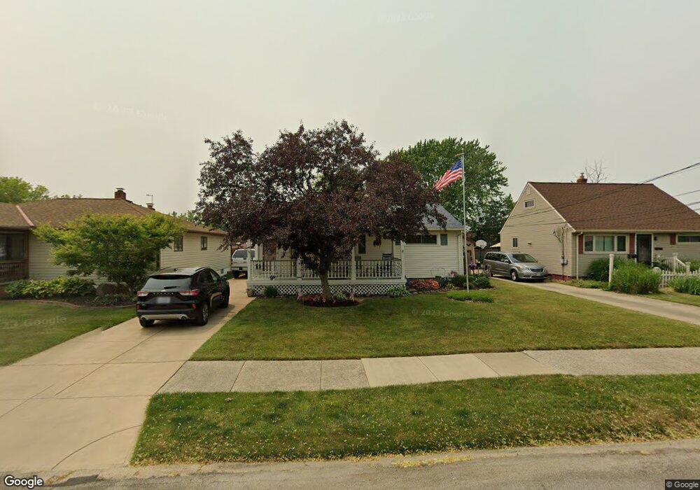
5802 Doris Dr Brookpark, OH 44142
Estimated Value: $211,000 - $233,000
3
Beds
1
Bath
1,256
Sq Ft
$174/Sq Ft
Est. Value
About This Home
This home is located at 5802 Doris Dr, Brookpark, OH 44142 and is currently estimated at $218,704, approximately $174 per square foot. 5802 Doris Dr is a home located in Cuyahoga County with nearby schools including Berea-Midpark Middle School, Berea-Midpark High School, and Huber Heights Preparatory Academy Parma Academy.
Ownership History
Date
Name
Owned For
Owner Type
Purchase Details
Closed on
Jun 1, 1994
Sold by
Knapik Dennis M
Bought by
Theus Michael and Theus Deborah M
Current Estimated Value
Home Financials for this Owner
Home Financials are based on the most recent Mortgage that was taken out on this home.
Original Mortgage
$87,300
Interest Rate
4.37%
Mortgage Type
New Conventional
Purchase Details
Closed on
Sep 28, 1977
Bought by
Knapik Dennis M
Purchase Details
Closed on
Jan 1, 1975
Bought by
Josephine
Create a Home Valuation Report for This Property
The Home Valuation Report is an in-depth analysis detailing your home's value as well as a comparison with similar homes in the area
Home Values in the Area
Average Home Value in this Area
Purchase History
| Date | Buyer | Sale Price | Title Company |
|---|---|---|---|
| Theus Michael | $97,000 | -- | |
| Knapik Dennis M | $41,000 | -- | |
| Josephine | -- | -- |
Source: Public Records
Mortgage History
| Date | Status | Borrower | Loan Amount |
|---|---|---|---|
| Closed | Theus Michael | $87,300 |
Source: Public Records
Tax History Compared to Growth
Tax History
| Year | Tax Paid | Tax Assessment Tax Assessment Total Assessment is a certain percentage of the fair market value that is determined by local assessors to be the total taxable value of land and additions on the property. | Land | Improvement |
|---|---|---|---|---|
| 2024 | $3,208 | $63,595 | $11,200 | $52,395 |
| 2023 | $3,038 | $49,880 | $9,490 | $40,390 |
| 2022 | $3,017 | $49,875 | $9,485 | $40,390 |
| 2021 | $2,999 | $49,880 | $9,490 | $40,390 |
| 2020 | $2,704 | $39,590 | $7,530 | $32,060 |
| 2019 | $2,624 | $113,100 | $21,500 | $91,600 |
| 2018 | $2,460 | $39,590 | $7,530 | $32,060 |
| 2017 | $2,499 | $34,970 | $7,600 | $27,370 |
| 2016 | $2,478 | $34,970 | $7,600 | $27,370 |
| 2015 | $2,449 | $34,970 | $7,600 | $27,370 |
| 2014 | $2,449 | $36,820 | $7,980 | $28,840 |
Source: Public Records
Map
Nearby Homes
- 6054 Langer Dr
- 5966 Engle Rd
- 15800 Holland Rd
- 16051 Holland Rd
- 16310 Richard Dr
- 15450 Holland Rd
- 5677 Gateway Ln Unit E504
- 6366 Sandhurst Dr
- 6195 Hardin Dr
- 5348 W 147th St
- 14890 Holland Rd
- 6363 Lockhaven Dr
- 14417 Parkman Blvd
- 5198 W 148th St
- 6378 Edgehurst Dr
- 14344 Fayette Blvd
- 6470 Sandfield Dr
- 6401 Scott Dr
- 6409 Scott Dr
- 16259 Emerald Point Unit 16259