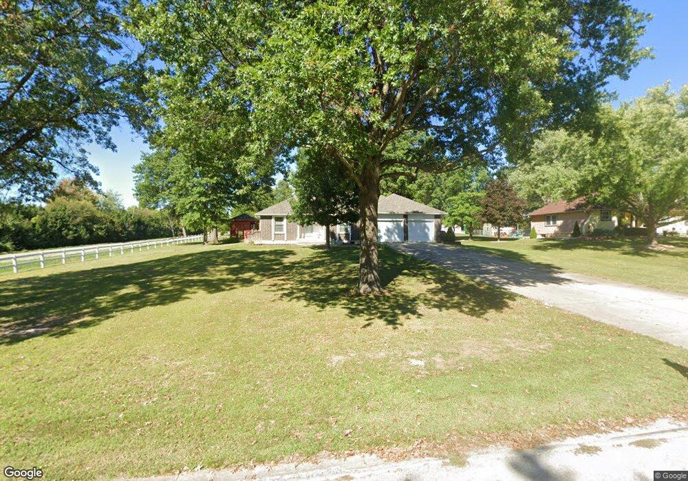
5802 Trott Rd Belton, MO 64012
Estimated Value: $315,339 - $426,000
3
Beds
2
Baths
1,586
Sq Ft
$226/Sq Ft
Est. Value
About This Home
This home is located at 5802 Trott Rd, Belton, MO 64012 and is currently estimated at $357,835, approximately $225 per square foot. 5802 Trott Rd is a home located in Cass County with nearby schools including Cambridge Elementary School, Belton Middle School, and Mill Creek Upper Elementary School.
Ownership History
Date
Name
Owned For
Owner Type
Purchase Details
Closed on
Jul 18, 2025
Sold by
Crume Charles S
Bought by
Oliver Gavin
Current Estimated Value
Home Financials for this Owner
Home Financials are based on the most recent Mortgage that was taken out on this home.
Original Mortgage
$270,019
Outstanding Balance
$268,629
Interest Rate
6.84%
Mortgage Type
FHA
Estimated Equity
$89,206
Purchase Details
Closed on
Nov 11, 2024
Sold by
Crume Charles S
Bought by
Crume Charles S
Create a Home Valuation Report for This Property
The Home Valuation Report is an in-depth analysis detailing your home's value as well as a comparison with similar homes in the area
Purchase History
| Date | Buyer | Sale Price | Title Company |
|---|---|---|---|
| Oliver Gavin | -- | Stewart Title Company | |
| Oliver Gavin | -- | Stewart Title Company | |
| Crume Charles S | -- | None Listed On Document |
Source: Public Records
Mortgage History
| Date | Status | Borrower | Loan Amount |
|---|---|---|---|
| Open | Oliver Gavin | $270,019 | |
| Closed | Oliver Gavin | $270,019 |
Source: Public Records
Tax History
| Year | Tax Paid | Tax Assessment Tax Assessment Total Assessment is a certain percentage of the fair market value that is determined by local assessors to be the total taxable value of land and additions on the property. | Land | Improvement |
|---|---|---|---|---|
| 2025 | $2,316 | $40,220 | $4,700 | $35,520 |
| 2024 | $2,316 | $35,910 | $4,280 | $31,630 |
| 2023 | $2,309 | $35,910 | $4,280 | $31,630 |
| 2022 | $2,042 | $31,310 | $4,280 | $27,030 |
| 2021 | $2,042 | $31,310 | $4,280 | $27,030 |
| 2020 | $2,034 | $31,060 | $4,280 | $26,780 |
| 2019 | $1,919 | $31,060 | $4,280 | $26,780 |
| 2018 | $1,851 | $28,480 | $3,420 | $25,060 |
| 2017 | $1,870 | $28,480 | $3,420 | $25,060 |
| 2016 | $1,870 | $28,700 | $3,420 | $25,280 |
| 2015 | $1,870 | $28,700 | $3,420 | $25,280 |
| 2014 | $1,878 | $28,700 | $3,420 | $25,280 |
| 2013 | -- | $28,700 | $3,420 | $25,280 |
Source: Public Records
Map
Nearby Homes
- LOT 3 Oak St
- LOT 4 Oak St
- LOT 1 Oak St
- LOT 2 Oak St
- 6007 Trott Rd
- 19105 S State Route Y N A
- 18802 S Lakeside Ln
- 18714 S Lakeside Ln
- 1208 S Cedar St
- 1105 Kent Dr
- 18607 S Askew Ave
- 19618 S Mullen Rd
- 0 S Cleveland Ave
- 730 E Cambridge Rd
- 416 Timbercreek Dr
- 212 W Cambridge Rd
- 200 Park Ave
- 414 179th Terrace
- 703 York Dr
- 709 Mulberry St
- 5808 Trott Rd
- 18915 S Ash St
- 18927 S Ash St
- 5902 Trott Rd
- 18911 S Ash St
- 5801 Trott Rd
- 18931 S Ash St
- 5809 Trott Rd
- 18907 S Ash St
- 19009 S State Route Y
- 18935 S Ash St
- 18800 S Ash St
- 18905 S Ash St
- 5901 Trott Rd
- 5904 Trott Rd
- 19001 S Ash St
- 18920 S Ash St
- 18916 S Ash St
- 18930 S Ash St
- 18912 S Ash St
Your Personal Tour Guide
Ask me questions while you tour the home.