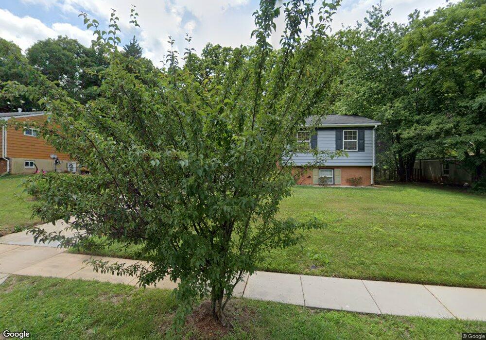
5804 Lundy Dr Lanham, MD 20706
Estimated Value: $366,000 - $437,000
4
Beds
2
Baths
1,058
Sq Ft
$387/Sq Ft
Est. Value
About This Home
This home is located at 5804 Lundy Dr, Lanham, MD 20706 and is currently estimated at $409,773, approximately $387 per square foot. 5804 Lundy Dr is a home located in Prince George's County with nearby schools including Seabrook Elementary School, Thomas Johnson Middle School, and Duval High School.
Ownership History
Date
Name
Owned For
Owner Type
Purchase Details
Closed on
Jun 12, 2009
Sold by
Deboise Courtney L
Bought by
Littlejohn Yolanda
Current Estimated Value
Home Financials for this Owner
Home Financials are based on the most recent Mortgage that was taken out on this home.
Original Mortgage
$225,735
Outstanding Balance
$142,394
Interest Rate
4.82%
Mortgage Type
FHA
Estimated Equity
$267,379
Purchase Details
Closed on
Nov 7, 2001
Sold by
Nelson Joel
Bought by
Dunbar Jacqueline
Create a Home Valuation Report for This Property
The Home Valuation Report is an in-depth analysis detailing your home's value as well as a comparison with similar homes in the area
Home Values in the Area
Average Home Value in this Area
Purchase History
| Date | Buyer | Sale Price | Title Company |
|---|---|---|---|
| Littlejohn Yolanda | $229,000 | -- | |
| Deboise Courtney L | -- | -- | |
| Dunbar Jacqueline | $169,900 | -- |
Source: Public Records
Mortgage History
| Date | Status | Borrower | Loan Amount |
|---|---|---|---|
| Open | Deboise Courtney L | $225,735 | |
| Closed | Littlejohn Yolanda | $225,735 |
Source: Public Records
Tax History
| Year | Tax Paid | Tax Assessment Tax Assessment Total Assessment is a certain percentage of the fair market value that is determined by local assessors to be the total taxable value of land and additions on the property. | Land | Improvement |
|---|---|---|---|---|
| 2025 | $3,983 | $324,200 | $71,200 | $253,000 |
| 2024 | $3,983 | $324,200 | $71,200 | $253,000 |
| 2023 | $4,087 | $358,000 | $71,200 | $286,800 |
| 2022 | $3,908 | $340,600 | $0 | $0 |
| 2021 | $3,676 | $323,200 | $0 | $0 |
| 2020 | $3,528 | $305,800 | $70,600 | $235,200 |
| 2019 | $3,367 | $276,667 | $0 | $0 |
| 2018 | $3,201 | $247,533 | $0 | $0 |
| 2017 | $3,062 | $218,400 | $0 | $0 |
| 2016 | -- | $198,467 | $0 | $0 |
| 2015 | $3,868 | $178,533 | $0 | $0 |
| 2014 | $3,868 | $158,600 | $0 | $0 |
Source: Public Records
Map
Nearby Homes
- 9805 Walnut Ave
- 5904 Justina Dr
- 9603 Woodland Ave
- 9603 Beachwood Ave
- 10102 Ellard Dr
- 9524 Dubarry Ave
- 9707 Vang Dr
- 9616 Block St
- 9712 Vang Dr
- 5513 Lanteen St
- 5554 Lanteen St Unit 1105
- 10133 Ellard Dr
- 9434 Dubarry Ave
- 5546 Amber St
- 9301 Tuckerman St
- 9309 Kimbark Ave
- 9937 Franklin St
- 0 Franklin Ave Unit MDPG2190164
- 6203 Wood Pointe Dr
- 5110 Baltimore Ln
- 5802 Lundy Dr
- 5806 Lundy Dr
- 5808 Lundy Dr
- 9712 Woodland Ave
- 5805 Lundy Dr
- 9708 Woodland Ave
- 5803 Lundy Dr
- 5807 Lundy Dr
- 9704 Woodland Ave
- 9800 Woodland Ave
- 5809 Lundy Dr
- 5810 Lundy Dr
- 9702 Woodland Ave
- 9801 Justina Ct
- 9802 Woodland Ave
- 5811 Lundy Dr
- 9709 Woodland Ave
- 9713 Woodland Ave
- 5812 Lundy Dr
- 5801 Emack Ave
Your Personal Tour Guide
Ask me questions while you tour the home.