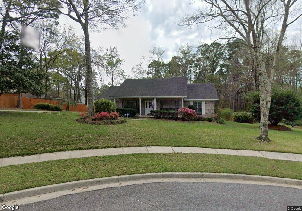
5805 Appomattox Ct Unit 2 Mobile, AL 36693
Rolling Acres NeighborhoodEstimated Value: $262,923 - $324,000
Studio
2
Baths
2,475
Sq Ft
$118/Sq Ft
Est. Value
About This Home
This home is located at 5805 Appomattox Ct Unit 2, Mobile, AL 36693 and is currently estimated at $291,231, approximately $117 per square foot. 5805 Appomattox Ct Unit 2 is a home located in Mobile County with nearby schools including Olive J. Dodge Elementary School, Burns Middle School, and Murphy High School.
Ownership History
Date
Name
Owned For
Owner Type
Purchase Details
Closed on
May 17, 2024
Sold by
Pischek Edward Peter
Bought by
Pischek Edward Peter and Pischek Angela Marie
Current Estimated Value
Purchase Details
Closed on
Mar 20, 2001
Sold by
Scruggs Norman H and Scruggs Loretta P
Bought by
Pischek Edward P
Home Financials for this Owner
Home Financials are based on the most recent Mortgage that was taken out on this home.
Original Mortgage
$151,000
Interest Rate
7.02%
Create a Home Valuation Report for This Property
The Home Valuation Report is an in-depth analysis detailing your home's value as well as a comparison with similar homes in the area
Home Values in the Area
Average Home Value in this Area
Purchase History
| Date | Buyer | Sale Price | Title Company |
|---|---|---|---|
| Pischek Edward Peter | $110,500 | Accommodation/Courtesy Recordi | |
| Pischek Edward P | -- | -- |
Source: Public Records
Mortgage History
| Date | Status | Borrower | Loan Amount |
|---|---|---|---|
| Previous Owner | Pischek Edward P | $151,000 |
Source: Public Records
Tax History
| Year | Tax Paid | Tax Assessment Tax Assessment Total Assessment is a certain percentage of the fair market value that is determined by local assessors to be the total taxable value of land and additions on the property. | Land | Improvement |
|---|---|---|---|---|
| 2025 | $1,487 | $25,100 | $6,000 | $19,100 |
| 2024 | $1,487 | $22,730 | $5,000 | $17,730 |
| 2023 | $1,387 | $22,050 | $4,200 | $17,850 |
| 2022 | $1,241 | $20,600 | $4,200 | $16,400 |
| 2021 | $1,221 | $20,280 | $4,200 | $16,080 |
| 2020 | $1,221 | $20,280 | $4,200 | $16,080 |
| 2019 | $1,190 | $19,790 | $4,200 | $15,590 |
| 2018 | $1,203 | $20,000 | $0 | $0 |
| 2017 | $1,190 | $19,800 | $0 | $0 |
| 2016 | $1,216 | $20,200 | $0 | $0 |
| 2013 | $1,310 | $21,480 | $0 | $0 |
Source: Public Records
Map
Nearby Homes
- 5721 Blue Ridge Dr N Unit 2
- 5734 Ramada Dr S
- 3001 Blue Ridge Dr E
- 5908 Rio Vista Dr
- 2858 Post Oak Cir
- 6128 Lindholm Dr S
- 5710 Antoine Rd
- 3549 Rue Royal
- 5537 Cross Creek Dr
- 3140 Lloyds Ln
- 5771 Rue Conti
- 3009 Southridge Rd E
- 3447 Rue Royal
- 5529 Cross Creek Dr
- 5508 White Pine Dr
- 2605 Woodland Rd
- 5505 White Pine Dr
- 6239 Southridge Rd S
- 5404 Larchmont Dr
- 2629 Mountbrook Dr
- 5809 Appomattox Ct
- 3002 Blue Ridge Dr W
- 5801 Appomattox Ct
- 3004 Blue Ridge Dr W
- 5816 Appomattox Ct
- 5812 Appomattox Ct
- 3006 Blue Ridge Dr W
- 5804 Appomattox Ct
- 3005 Blue Ridge Dr W
- 3003 Blue Ridge Dr W
- 5800 Appomattox Ct
- 3001 Blue Ridge Dr W Unit 2
- 3008 Blue Ridge Dr W
- 2907 Blue Ridge Dr W
- 3007 Blue Ridge Dr W
- 3004 Fredricksburg Ct
- 2904 Blue Ridge Dr W
- 3012 Blue Ridge Dr W
- 3032 Lindholm Dr E
- 3036 Lindholm Dr E
Your Personal Tour Guide
Ask me questions while you tour the home.