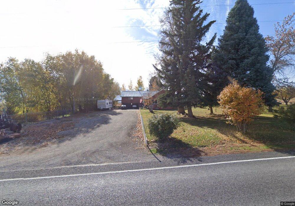
5807 W 11600 S Payson, UT 84651
Estimated Value: $1,727,000
4
Beds
2
Baths
1,890
Sq Ft
$914/Sq Ft
Est. Value
About This Home
This home is located at 5807 W 11600 S, Payson, UT 84651 and is currently priced at $1,727,000, approximately $913 per square foot. 5807 W 11600 S is a home located in Utah County with nearby schools including Taylor Elementary School, Mt. Nebo Junior High School, and Salem Junior High School.
Ownership History
Date
Name
Owned For
Owner Type
Purchase Details
Closed on
Feb 2, 2022
Sold by
D & I Jackson Family Trust
Bought by
Obannon Terri
Current Estimated Value
Purchase Details
Closed on
Mar 22, 2021
Sold by
Bannon Terri O and Curtis Lore
Bought by
Payson Ruit Growers Inc
Purchase Details
Closed on
Aug 29, 2000
Sold by
Jackson W Dale and Jackson Iris C
Bought by
Jackson W Dale and Jackson Iris N
Purchase Details
Closed on
Aug 28, 1997
Sold by
Meredith Melvin Z and Meredith Muriel S
Bought by
Jackson W Dale and Jackson Iris C
Purchase Details
Closed on
Jul 29, 1996
Sold by
Meredith Melvin Z and Meredith Muriel S
Bought by
Jackson W Dale and Jackson Iris C
Create a Home Valuation Report for This Property
The Home Valuation Report is an in-depth analysis detailing your home's value as well as a comparison with similar homes in the area
Home Values in the Area
Average Home Value in this Area
Purchase History
| Date | Buyer | Sale Price | Title Company |
|---|---|---|---|
| Obannon Terri | -- | Gt Title Services | |
| Ahlin Nathan | -- | Gt Title Services | |
| Payson Ruit Growers Inc | -- | Pro Title & Escrow Inc | |
| Jackson W Dale | -- | -- | |
| Jackson W Dale | -- | -- | |
| Jackson W Dale | -- | -- |
Source: Public Records
Tax History Compared to Growth
Tax History
| Year | Tax Paid | Tax Assessment Tax Assessment Total Assessment is a certain percentage of the fair market value that is determined by local assessors to be the total taxable value of land and additions on the property. | Land | Improvement |
|---|---|---|---|---|
| 2021 | $1,924 | $0 | $0 | $0 |
| 2020 | $1,648 | $1,001,200 | $810,800 | $190,400 |
| 2019 | $1,535 | $749,700 | $576,600 | $173,100 |
| 2018 | $1,462 | $707,100 | $556,600 | $150,500 |
| 2017 | $1,324 | $102,936 | $0 | $0 |
| 2016 | $1,208 | $91,056 | $0 | $0 |
| 2015 | $1,175 | $87,866 | $0 | $0 |
| 2014 | $1,163 | $86,987 | $0 | $0 |
Source: Public Records
Map
Nearby Homes
- 11508 S 5825 W
- 5635 W 11300 S
- 11433 S 5600 W
- 11433 S 5600 West St
- 5746 W 11300 S
- 11363 S 5600 West St
- 2007 W 1150 S Unit 1041
- 1993 W 1150 S Unit 1038
- 1971 W 1150 S Unit 1034
- 1967 W 1150 S Unit 1033
- 1972 W 1150 S Unit 1027
- 1968 W 1150 S Unit 1028
- 10900 S 5200 W
- 841 N Dryland Cir Unit BALLAR
- 841 N Dryland Cir Unit DREXEL
- 841 N Dryland Cir Unit HILDAL
- 841 N Dryland Cir Unit WINDSR
- 841 N Dryland Cir Unit WAKEFI
- 841 N Dryland Cir Unit LUCAS
- 841 N Dryland Cir Unit AUBREY
- 5781 W 11450 S
- 5701 W 11600 S
- 5721 W 11450 S
- 5679 W 11600 S
- 11467 S 5825 W
- 5669 W 11450 S
- 5690 11450 S Unit 11
- 5732 W 11450 S
- 11480 S Fruitridge Ln
- 11454 S Fruitridge Ln
- 5682 W 11450 S
- 11458 S 5825 W
- 5623 W 11450 S
- 11543 S 5600 St W
- 11404 S 5825 W
- 11361 S 5825 W
- 11461 S 5600 W
- 5759 W 11300 S
- 5697 W 11300 S
- 11439 S 5600 W