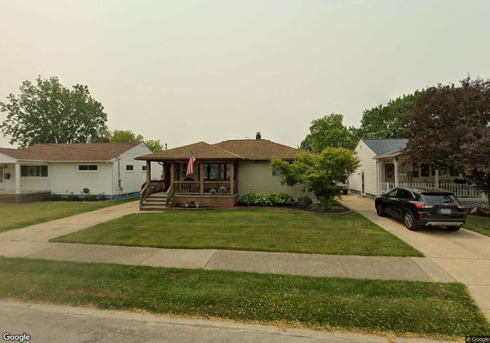
5808 Doris Dr Brookpark, OH 44142
Estimated Value: $196,000 - $234,000
4
Beds
2
Baths
1,584
Sq Ft
$137/Sq Ft
Est. Value
About This Home
This home is located at 5808 Doris Dr, Brookpark, OH 44142 and is currently estimated at $217,674, approximately $137 per square foot. 5808 Doris Dr is a home located in Cuyahoga County with nearby schools including Berea-Midpark Middle School, Berea-Midpark High School, and Huber Heights Preparatory Academy Parma Academy.
Ownership History
Date
Name
Owned For
Owner Type
Purchase Details
Closed on
Nov 19, 1990
Sold by
Rusticelli Louis J
Bought by
Newton Robert E
Current Estimated Value
Purchase Details
Closed on
Apr 12, 1976
Sold by
Rusticelli Louis J
Bought by
Rusticelli Louis J
Purchase Details
Closed on
Aug 15, 1975
Sold by
Balough Gerald C and Balough Norma J
Bought by
Rusticelli Louis J
Purchase Details
Closed on
Jan 1, 1975
Bought by
Balough Gerald C and Balough Norma J
Create a Home Valuation Report for This Property
The Home Valuation Report is an in-depth analysis detailing your home's value as well as a comparison with similar homes in the area
Home Values in the Area
Average Home Value in this Area
Purchase History
| Date | Buyer | Sale Price | Title Company |
|---|---|---|---|
| Newton Robert E | $96,000 | -- | |
| Rusticelli Louis J | -- | -- | |
| Rusticelli Louis J | $33,000 | -- | |
| Balough Gerald C | -- | -- |
Source: Public Records
Tax History
| Year | Tax Paid | Tax Assessment Tax Assessment Total Assessment is a certain percentage of the fair market value that is determined by local assessors to be the total taxable value of land and additions on the property. | Land | Improvement |
|---|---|---|---|---|
| 2025 | $3,334 | $66,500 | $11,200 | $55,300 |
| 2024 | $3,354 | $66,500 | $11,200 | $55,300 |
| 2023 | $3,539 | $58,110 | $9,490 | $48,620 |
| 2022 | $3,515 | $58,100 | $9,490 | $48,620 |
| 2021 | $3,494 | $58,100 | $9,490 | $48,620 |
| 2020 | $3,149 | $46,100 | $7,530 | $38,570 |
| 2019 | $3,055 | $131,700 | $21,500 | $110,200 |
| 2018 | $2,836 | $46,100 | $7,530 | $38,570 |
| 2017 | $2,849 | $39,870 | $7,600 | $32,270 |
| 2016 | $2,825 | $39,870 | $7,600 | $32,270 |
| 2015 | $2,791 | $39,870 | $7,600 | $32,270 |
| 2014 | $2,791 | $41,970 | $7,980 | $33,990 |
Source: Public Records
Map
Nearby Homes
- 16159 Bowfin Blvd
- 16084 Harrison Dr
- 15995 Paulding Blvd
- 6016 Gilmere Dr
- 15268 Muskingum Blvd
- 6188 Barbara Ln
- 16311 Richard Dr
- 15300 Holland Rd
- 6065 Mercer Dr
- 6330 Stonecrest Dr
- 5779 Gateway Ln Unit 1903
- 6330 Ledgebrook Dr
- 6330 Sandfield Dr
- 6377 Ledgebrook Dr
- 5249 W 150th St
- 6386 Sandfield Dr
- 6095 Stark Dr
- 6448 Delores Blvd
- 14801 Larkfield Dr
- 14761 Larkfield Dr
Your Personal Tour Guide
Ask me questions while you tour the home.