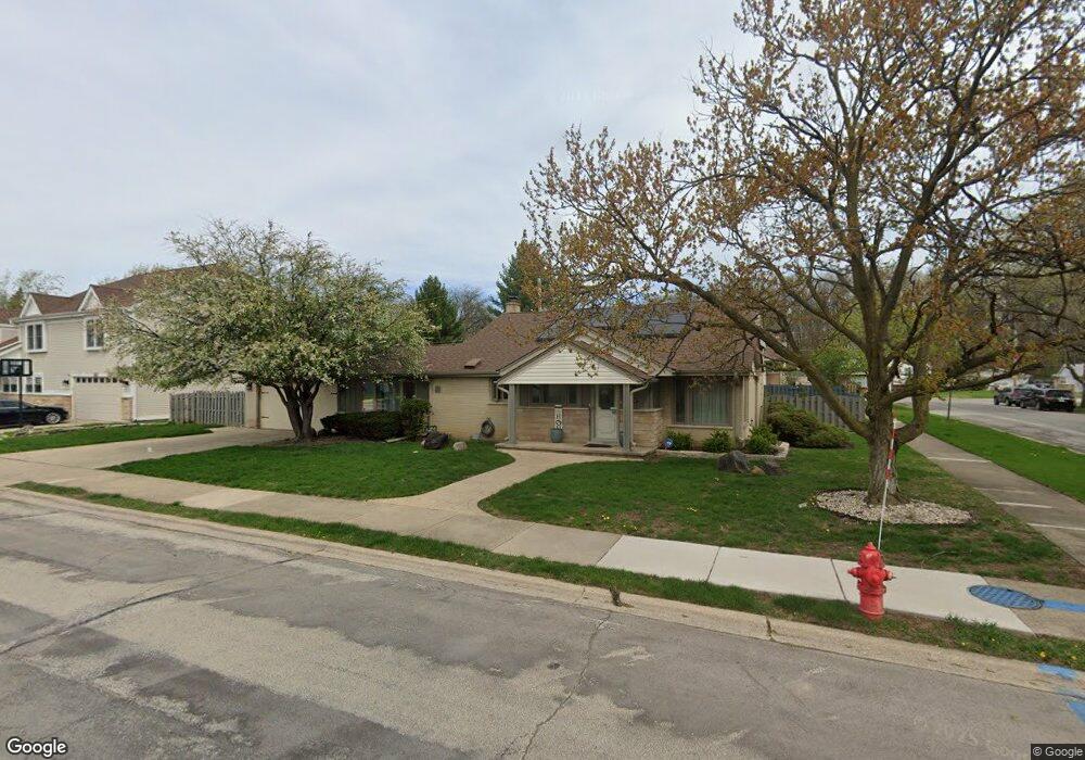
5808 Emerson St Morton Grove, IL 60053
Estimated Value: $480,000 - $565,482
5
Beds
3
Baths
2,500
Sq Ft
$212/Sq Ft
Est. Value
About This Home
This home is located at 5808 Emerson St, Morton Grove, IL 60053 and is currently estimated at $529,621, approximately $211 per square foot. 5808 Emerson St is a home located in Cook County with nearby schools including Hynes Elementary School, Golf Middle School, and Niles North High School.
Ownership History
Date
Name
Owned For
Owner Type
Purchase Details
Closed on
Nov 20, 2017
Sold by
Netzel Carol G
Bought by
Beraki Mussie and Beraki Aster A
Current Estimated Value
Home Financials for this Owner
Home Financials are based on the most recent Mortgage that was taken out on this home.
Original Mortgage
$390,000
Outstanding Balance
$322,567
Interest Rate
3.37%
Mortgage Type
Adjustable Rate Mortgage/ARM
Estimated Equity
$207,054
Purchase Details
Closed on
Mar 10, 1995
Sold by
Mains James E and Mains Patricia A
Bought by
Gmw Trust
Create a Home Valuation Report for This Property
The Home Valuation Report is an in-depth analysis detailing your home's value as well as a comparison with similar homes in the area
Home Values in the Area
Average Home Value in this Area
Purchase History
| Date | Buyer | Sale Price | Title Company |
|---|---|---|---|
| Beraki Mussie | $390,000 | Attorney | |
| Gmw Trust | -- | Ticor Title Insurance |
Source: Public Records
Mortgage History
| Date | Status | Borrower | Loan Amount |
|---|---|---|---|
| Open | Beraki Mussie | $390,000 |
Source: Public Records
Tax History Compared to Growth
Tax History
| Year | Tax Paid | Tax Assessment Tax Assessment Total Assessment is a certain percentage of the fair market value that is determined by local assessors to be the total taxable value of land and additions on the property. | Land | Improvement |
|---|---|---|---|---|
| 2024 | $9,051 | $36,262 | $11,166 | $25,096 |
| 2023 | $8,623 | $36,262 | $11,166 | $25,096 |
| 2022 | $8,623 | $36,262 | $11,166 | $25,096 |
| 2021 | $6,635 | $25,403 | $6,871 | $18,532 |
| 2020 | $6,576 | $25,403 | $6,871 | $18,532 |
| 2019 | $6,661 | $28,584 | $6,871 | $21,713 |
| 2018 | $7,296 | $28,178 | $6,227 | $21,951 |
| 2017 | $6,630 | $28,178 | $6,227 | $21,951 |
| 2016 | $7,649 | $29,950 | $6,227 | $23,723 |
| 2015 | $7,961 | $26,298 | $5,368 | $20,930 |
| 2014 | $6,451 | $26,298 | $5,368 | $20,930 |
| 2013 | $5,997 | $26,298 | $5,368 | $20,930 |
Source: Public Records
Map
Nearby Homes
- 9320 Menard Ave
- 9314 Menard Ave
- 5644 Lyons St
- 9224 Menard Ave
- 9234 Central Ave
- 5449 Arcadia St
- 9539 Lorel Ave
- 8918 Parkside Ave
- 5536 Greenwood St
- 8841 Menard Ave
- 9655 Woods Dr Unit P350
- 9655 Woods Dr Unit 1809
- 8836 Mansfield Ave
- 9715 Woods Dr Unit 903
- 9715 Woods Dr Unit 1104
- 9725 Woods Dr Unit 1913
- 9725 Woods Dr Unit 309
- 9725 Woods Dr Unit 802
- 9725 Woods Dr Unit 2015
- 5459 Suffield Ct
- 5808 Emerson St
- 5814 Emerson St
- 5814 Emerson St
- 5805 Emerson St
- 5811 Emerson St
- 5807 Capri Ln
- 5748 Emerson St
- 5748 Emerson St
- 5813 Capri Ln
- 5820 Emerson St
- 5820 Emerson St
- 5817 Emerson St
- 5747 Emerson St
- 5747 Capri Ln
- 5819 Capri Ln
- 5742 Emerson St
- 5742 Emerson St
- 5826 Emerson St
- 5826 Emerson St
- 5741 Emerson St