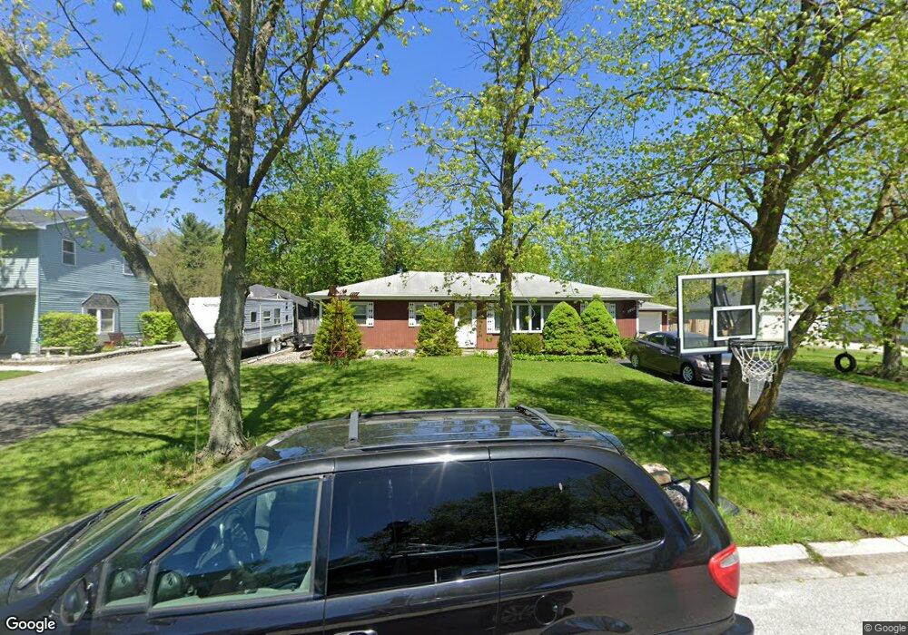
5808 W 122nd Ave Crown Point, IN 46307
Estimated Value: $254,776 - $293,000
4
Beds
2
Baths
1,628
Sq Ft
$167/Sq Ft
Est. Value
About This Home
This home is located at 5808 W 122nd Ave, Crown Point, IN 46307 and is currently estimated at $272,194, approximately $167 per square foot. 5808 W 122nd Ave is a home located in Lake County with nearby schools including Douglas MacArthur Elementary School, Robert Taft Middle School, and Crown Point High School.
Ownership History
Date
Name
Owned For
Owner Type
Purchase Details
Closed on
Sep 28, 2018
Sold by
Biljan Nikola N
Bought by
Armalius Jason A
Current Estimated Value
Home Financials for this Owner
Home Financials are based on the most recent Mortgage that was taken out on this home.
Original Mortgage
$170,848
Outstanding Balance
$150,903
Interest Rate
5.12%
Mortgage Type
FHA
Estimated Equity
$121,291
Create a Home Valuation Report for This Property
The Home Valuation Report is an in-depth analysis detailing your home's value as well as a comparison with similar homes in the area
Home Values in the Area
Average Home Value in this Area
Purchase History
| Date | Buyer | Sale Price | Title Company |
|---|---|---|---|
| Armalius Jason A | -- | Community Title Co |
Source: Public Records
Mortgage History
| Date | Status | Borrower | Loan Amount |
|---|---|---|---|
| Open | Armalius Jason A | $170,848 |
Source: Public Records
Tax History Compared to Growth
Tax History
| Year | Tax Paid | Tax Assessment Tax Assessment Total Assessment is a certain percentage of the fair market value that is determined by local assessors to be the total taxable value of land and additions on the property. | Land | Improvement |
|---|---|---|---|---|
| 2024 | $4,208 | $204,900 | $35,100 | $169,800 |
| 2023 | $1,783 | $198,000 | $35,100 | $162,900 |
| 2022 | $1,783 | $194,500 | $35,100 | $159,400 |
| 2021 | $1,496 | $177,000 | $27,000 | $150,000 |
| 2020 | $1,571 | $176,300 | $27,000 | $149,300 |
| 2019 | $1,574 | $169,000 | $27,000 | $142,000 |
| 2018 | $798 | $136,400 | $27,000 | $109,400 |
| 2017 | $812 | $136,800 | $27,000 | $109,800 |
| 2016 | $832 | $137,900 | $27,000 | $110,900 |
| 2014 | $794 | $144,300 | $27,000 | $117,300 |
| 2013 | $803 | $145,100 | $27,000 | $118,100 |
Source: Public Records
Map
Nearby Homes
- 12120 Burr St
- 4714 W 121st Ave
- 11606 Westvalley Dr
- 1156 Donegal Ln
- 1140 Hyde Park
- 1144 Mary Ellen Dr
- 11531 Westvalley Dr
- 1089 George Ade Ct
- 775 Quinlan Ct
- 12860 Baker Ct
- 11224 Durbin Place
- 11217 Burr Parcel 2 St
- 13111 Hobart Ct
- 804 Shannon Dr
- 11429 Bell Place
- 3709 W 121st Ave
- 13654 Freedom Way
- 13665 Freedom Way
- 12917 Fulton St
- 12025 S Cline Ave
- 5808 W 122nd Ave
- 5802 W 122nd Ave
- 5818 W 122nd Ave
- 5720 W 122nd Ave
- 5828 W 122nd Ave
- 5807 W 122nd Ave
- 5815 W 122nd Ave
- 5801 W 122nd Ave
- 5714 W 122nd Ave
- 5903 W 122nd Ave
- 5904 W 122nd Ave
- 12211 Tompkins Place
- 5713 W 122nd Ave
- 5708 W 122nd Ave
- 5707 W 122nd Ave
- 5806 W 122nd Place
- 5814 W 122nd Place
- 5800 W 122nd Place
- 12219 Tompkins Place
- 12202 Tompkins Place