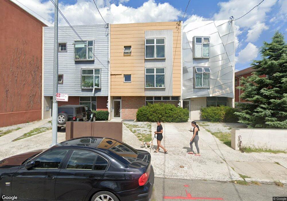
5809 32nd Ave Woodside, NY 11377
East Astoria NeighborhoodEstimated Value: $1,009,047 - $1,878,000
Studio
--
Bath
3,330
Sq Ft
$419/Sq Ft
Est. Value
About This Home
This home is located at 5809 32nd Ave, Woodside, NY 11377 and is currently estimated at $1,395,682, approximately $419 per square foot. 5809 32nd Ave is a home located in Queens County with nearby schools including P.S. 151 - Mary D. Carter, I.S. 010 Horace Greeley, and William Cullen Bryant High School.
Ownership History
Date
Name
Owned For
Owner Type
Purchase Details
Closed on
Jun 3, 2019
Sold by
Malik Ninorka and Malik Sajid
Bought by
58-09 32Nd Ave Realty Llc
Current Estimated Value
Purchase Details
Closed on
Oct 1, 2013
Sold by
Fcsb A Reo Ny- Multifamily Llc
Bought by
Malik Ninorka and Malik Sajid
Purchase Details
Closed on
Jun 17, 2005
Sold by
1992 Marianthi Vlachos 58-09 Annuity Tru and Vlachos Trustee Dionysios
Bought by
Melakrinos Evangeline and Vlachos Constantine
Create a Home Valuation Report for This Property
The Home Valuation Report is an in-depth analysis detailing your home's value as well as a comparison with similar homes in the area
Home Values in the Area
Average Home Value in this Area
Purchase History
| Date | Buyer | Sale Price | Title Company |
|---|---|---|---|
| 58-09 32Nd Ave Realty Llc | -- | -- | |
| 58-09 32Nd Ave Realty Llc | -- | -- | |
| 58-09 32Nd Ave Realty Llc | -- | -- | |
| Malik Ninorka | $600,000 | -- | |
| Malik Ninorka | $600,000 | -- | |
| Melakrinos Evangeline | -- | -- | |
| 5809 Llc | $199,998 | -- | |
| Melackrinos Evangeline | -- | -- | |
| Melakrinos Evangeline | -- | -- |
Source: Public Records
Tax History
| Year | Tax Paid | Tax Assessment Tax Assessment Total Assessment is a certain percentage of the fair market value that is determined by local assessors to be the total taxable value of land and additions on the property. | Land | Improvement |
|---|---|---|---|---|
| 2025 | $12,061 | $60,480 | $7,367 | $53,113 |
| 2024 | $12,061 | $60,048 | $7,733 | $52,315 |
| 2023 | $12,183 | $59,990 | $7,807 | $52,183 |
| 2022 | $11,305 | $84,240 | $11,760 | $72,480 |
| 2021 | $11,243 | $90,120 | $11,760 | $78,360 |
| 2020 | $10,668 | $99,060 | $11,760 | $87,300 |
| 2019 | $10,468 | $93,420 | $11,760 | $81,660 |
| 2018 | $10,191 | $49,992 | $8,932 | $41,060 |
| 2017 | $9,620 | $47,191 | $11,562 | $35,629 |
| 2016 | $8,900 | $47,191 | $11,562 | $35,629 |
| 2015 | -- | $42,000 | $11,760 | $30,240 |
| 2014 | -- | $41,700 | $11,760 | $29,940 |
Source: Public Records
Map
Nearby Homes
- 32-32 60th St
- 31-28 56th St
- 5605 31st Ave Unit 5
- 55-08 32nd Ave
- 5525 31st Ave Unit 3L
- 55-23 31st Ave Unit 3H
- 55-23 31st Ave Unit 4G
- 3134 68th St
- 31-31 54th St Unit 3K
- 3121 54th St Unit 5K
- 51-34 30th Ave Unit E-6J
- 3045 Hobart St Unit 4H
- 30-47 Hobart St Unit DDB
- 30-47 Hobart St Unit 3M
- 32-26 54th St
- 31-98 54th St
- 3069 Hobart St Unit B3K
- 30-51 Hobart St Unit 4-G
- 30-69 Hobart St Unit 5
- 51-28 30th Ave Unit 3
Your Personal Tour Guide
Ask me questions while you tour the home.