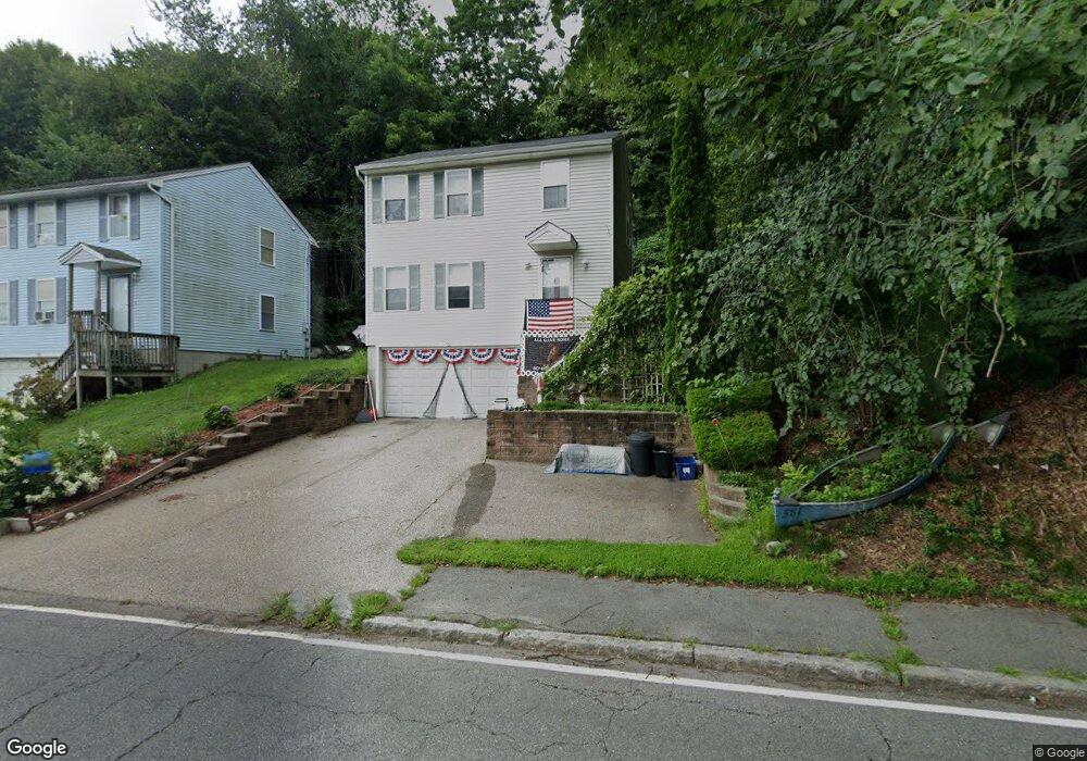
581 Grove St Worcester, MA 01605
Forest Grove NeighborhoodEstimated Value: $422,524 - $447,000
3
Beds
2
Baths
1,217
Sq Ft
$358/Sq Ft
Est. Value
About This Home
This home is located at 581 Grove St, Worcester, MA 01605 and is currently estimated at $435,631, approximately $357 per square foot. 581 Grove St is a home located in Worcester County with nearby schools including Nelson Place Elementary School, Jacob Hiatt Magnet School, and Chandler Magnet.
Ownership History
Date
Name
Owned For
Owner Type
Purchase Details
Closed on
Jan 14, 2011
Sold by
Deslites&Bowlin Llc
Bought by
Smith Michael John and Smith Tina-Marie
Current Estimated Value
Home Financials for this Owner
Home Financials are based on the most recent Mortgage that was taken out on this home.
Original Mortgage
$169,569
Outstanding Balance
$112,958
Interest Rate
4.46%
Mortgage Type
Purchase Money Mortgage
Estimated Equity
$322,673
Purchase Details
Closed on
May 10, 2010
Sold by
Rivera Lydia
Bought by
Desilets&Brown Llc
Purchase Details
Closed on
Oct 17, 2003
Sold by
Habitat Humanity Gtr W
Bought by
Rivera Lydia
Home Financials for this Owner
Home Financials are based on the most recent Mortgage that was taken out on this home.
Original Mortgage
$75,000
Interest Rate
6.43%
Mortgage Type
Purchase Money Mortgage
Create a Home Valuation Report for This Property
The Home Valuation Report is an in-depth analysis detailing your home's value as well as a comparison with similar homes in the area
Home Values in the Area
Average Home Value in this Area
Purchase History
| Date | Buyer | Sale Price | Title Company |
|---|---|---|---|
| Smith Michael John | $166,000 | -- | |
| Desilets&Brown Llc | $124,000 | -- | |
| Rivera Lydia | $75,000 | -- |
Source: Public Records
Mortgage History
| Date | Status | Borrower | Loan Amount |
|---|---|---|---|
| Open | Smith Michael John | $169,569 | |
| Previous Owner | Rivera Lydia | $75,000 |
Source: Public Records
Tax History
| Year | Tax Paid | Tax Assessment Tax Assessment Total Assessment is a certain percentage of the fair market value that is determined by local assessors to be the total taxable value of land and additions on the property. | Land | Improvement |
|---|---|---|---|---|
| 2025 | $5,031 | $381,400 | $122,700 | $258,700 |
| 2024 | $4,945 | $359,600 | $122,700 | $236,900 |
| 2023 | $4,755 | $331,600 | $105,700 | $225,900 |
| 2022 | $4,365 | $287,000 | $84,500 | $202,500 |
| 2021 | $4,086 | $251,000 | $67,600 | $183,400 |
| 2020 | $4,038 | $237,500 | $67,500 | $170,000 |
| 2019 | $3,960 | $220,000 | $65,000 | $155,000 |
| 2018 | $3,950 | $208,900 | $65,000 | $143,900 |
| 2017 | $3,809 | $198,200 | $65,000 | $133,200 |
| 2016 | $3,823 | $185,500 | $52,700 | $132,800 |
| 2015 | $3,723 | $185,500 | $52,700 | $132,800 |
| 2014 | $3,625 | $185,500 | $52,700 | $132,800 |
Source: Public Records
Map
Nearby Homes
- 577 Grove St
- 38 Hapgood Rd
- 10 Neptune Rd
- 12 Kanes Crossing
- 32 Indian Lake Pkwy
- 46 Hastings Ave
- 42 Hastings Ave
- 25 Chester St
- 39 Boyd St
- 19 Hancock Hill Dr
- 44 Boardman St
- 7 Chadwick St
- 1 Knapp Ave
- 97 Parkton Ave
- 7 Albemarle St
- 531 Salisbury St
- 437 Salisbury St
- 23 Dryden St
- 10 Hemans St Unit 21
- 3 Old Brook Dr
Your Personal Tour Guide
Ask me questions while you tour the home.