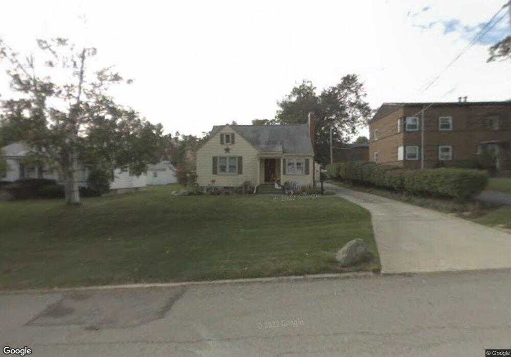
581 W 3rd St Mansfield, OH 44906
Estimated Value: $102,000 - $125,000
2
Beds
1
Bath
1,242
Sq Ft
$92/Sq Ft
Est. Value
About This Home
This home is located at 581 W 3rd St, Mansfield, OH 44906 and is currently estimated at $113,878, approximately $91 per square foot. 581 W 3rd St is a home located in Richland County with nearby schools including Goal Digital Academy, St. Peter's Elementary/Montessori School, and St. Peter's Junior High / High School.
Ownership History
Date
Name
Owned For
Owner Type
Purchase Details
Closed on
Nov 7, 2002
Sold by
Thorne Emma M
Bought by
Boyd Frank J and Boyd Leslie J
Current Estimated Value
Home Financials for this Owner
Home Financials are based on the most recent Mortgage that was taken out on this home.
Original Mortgage
$63,503
Outstanding Balance
$26,814
Interest Rate
6.13%
Mortgage Type
FHA
Estimated Equity
$87,064
Create a Home Valuation Report for This Property
The Home Valuation Report is an in-depth analysis detailing your home's value as well as a comparison with similar homes in the area
Home Values in the Area
Average Home Value in this Area
Purchase History
| Date | Buyer | Sale Price | Title Company |
|---|---|---|---|
| Boyd Frank J | $64,500 | -- |
Source: Public Records
Mortgage History
| Date | Status | Borrower | Loan Amount |
|---|---|---|---|
| Open | Boyd Frank J | $63,503 |
Source: Public Records
Tax History
| Year | Tax Paid | Tax Assessment Tax Assessment Total Assessment is a certain percentage of the fair market value that is determined by local assessors to be the total taxable value of land and additions on the property. | Land | Improvement |
|---|---|---|---|---|
| 2024 | $1,155 | $25,210 | $1,770 | $23,440 |
| 2023 | $1,181 | $25,210 | $1,770 | $23,440 |
| 2022 | $1,118 | $20,010 | $1,710 | $18,300 |
| 2021 | $1,126 | $20,010 | $1,710 | $18,300 |
| 2020 | $1,151 | $20,010 | $1,710 | $18,300 |
| 2019 | $1,276 | $20,010 | $1,710 | $18,300 |
| 2018 | $1,258 | $20,010 | $1,710 | $18,300 |
| 2017 | $1,225 | $20,010 | $1,710 | $18,300 |
| 2016 | $1,320 | $20,910 | $4,030 | $16,880 |
| 2015 | $1,260 | $20,910 | $4,030 | $16,880 |
| 2014 | $1,244 | $20,910 | $4,030 | $16,880 |
| 2012 | $474 | $20,910 | $4,240 | $16,670 |
Source: Public Records
Map
Nearby Homes
- 24 Stewart Ave S
- 519 Heineman Blvd
- 31 Parkwood Blvd
- 71 Dawson Ave
- 458 W West Dickson Ave
- 10 Gray Ct
- 31 Bartley Ave
- 108 Stewart Ave S
- 116 Stewart Ave S
- 126 Dawson Ave
- 133 Stewart Ave S
- 30 Douglas Ave
- 230 Rae Ave
- 212 Penn Ave
- 189 Westwood Ave
- 51 Lind Ave
- 129 Fairlawn Ave
- 135 Fairlawn Ave
- 158 Vennum Ave
- 143 Fairlawn Ave
Your Personal Tour Guide
Ask me questions while you tour the home.