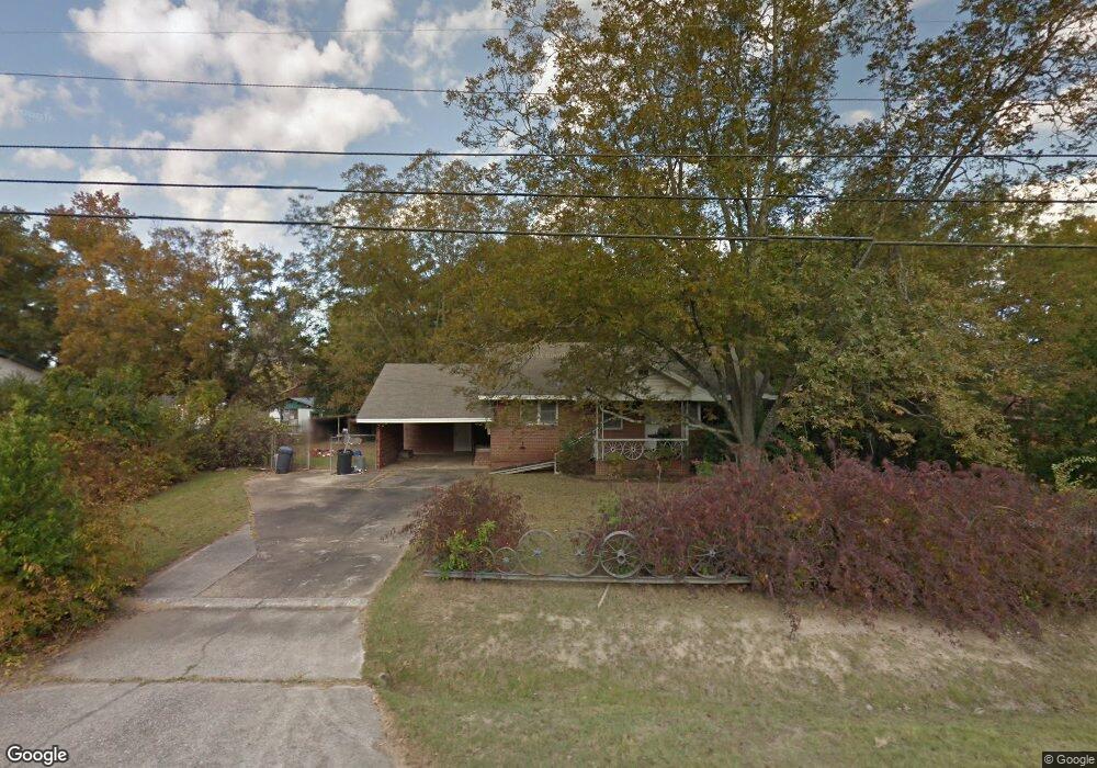
5811 Highpoint Dr Columbus, GA 31909
Midland NeighborhoodEstimated Value: $128,000 - $206,000
2
Beds
2
Baths
988
Sq Ft
$156/Sq Ft
Est. Value
About This Home
This home is located at 5811 Highpoint Dr, Columbus, GA 31909 and is currently estimated at $154,262, approximately $156 per square foot. 5811 Highpoint Dr is a home located in Muscogee County with nearby schools including Waddell Elementary School, Midland Middle School, and Shaw High School.
Ownership History
Date
Name
Owned For
Owner Type
Purchase Details
Closed on
Oct 21, 2015
Sold by
Bruhn Chuck
Bought by
Anderson Todd W
Current Estimated Value
Home Financials for this Owner
Home Financials are based on the most recent Mortgage that was taken out on this home.
Original Mortgage
$113,898
Outstanding Balance
$91,076
Interest Rate
4.37%
Mortgage Type
FHA
Estimated Equity
$63,186
Purchase Details
Closed on
Apr 7, 2015
Sold by
Us Bank Trust Na Trustee
Bought by
Bruhn Chuck
Create a Home Valuation Report for This Property
The Home Valuation Report is an in-depth analysis detailing your home's value as well as a comparison with similar homes in the area
Home Values in the Area
Average Home Value in this Area
Purchase History
| Date | Buyer | Sale Price | Title Company |
|---|---|---|---|
| Anderson Todd W | $116,000 | -- | |
| Bruhn Chuck | $23,400 | -- |
Source: Public Records
Mortgage History
| Date | Status | Borrower | Loan Amount |
|---|---|---|---|
| Open | Anderson Todd W | $113,898 |
Source: Public Records
Tax History Compared to Growth
Tax History
| Year | Tax Paid | Tax Assessment Tax Assessment Total Assessment is a certain percentage of the fair market value that is determined by local assessors to be the total taxable value of land and additions on the property. | Land | Improvement |
|---|---|---|---|---|
| 2025 | $1,299 | $45,072 | $10,772 | $34,300 |
| 2024 | $1,298 | $45,072 | $10,772 | $34,300 |
| 2023 | $612 | $45,072 | $10,772 | $34,300 |
| 2022 | $1,353 | $37,184 | $10,772 | $26,412 |
| 2021 | $1,347 | $32,944 | $10,772 | $22,172 |
| 2020 | $1,347 | $32,944 | $10,772 | $22,172 |
| 2019 | $1,353 | $32,944 | $10,772 | $22,172 |
| 2018 | $1,353 | $32,944 | $10,772 | $22,172 |
| 2017 | $1,359 | $32,944 | $10,772 | $22,172 |
| 2016 | $1,365 | $46,373 | $5,272 | $41,101 |
| 2015 | $353 | $21,387 | $5,272 | $16,115 |
| 2014 | $354 | $21,387 | $5,272 | $16,115 |
| 2013 | -- | $21,387 | $5,272 | $16,115 |
Source: Public Records
Map
Nearby Homes
- 5791 Bishop Dr
- 5408 Old Dominion Rd
- 5966 Fornof Rd
- 5324 Colony Dr
- 5422 Colony Dr
- 5028 Warm Springs Rd
- 5804 Dearborn Ave
- 5621 Hodges Dr
- 5623 Hodges Dr
- 6127 Stony Creek Dr
- 5619 Hodges Dr
- 6137 Stoneway Dr
- 4847 Warm Springs Rd
- 6263 Potomac Cir
- 5378 Misty Ln
- 6333 Stony Creek Dr
- 6 Jamestown Ct
- 5866 Morningside Dr
- 6251 Rockefeller Dr
- 4700 Bondale Dr
- 5803 Highpoint Dr
- 5819 Highpoint Dr
- 5830 Fornof Rd
- 5838 Fornof Rd
- 5822 Fornof Rd
- 5810 Highpoint Dr
- 5821 Highpoint Dr
- 5814 Highpoint Dr
- 5806 Highpoint Dr
- 5303 Winburn Ave
- 5846 Fornof Rd
- 5818 Highpoint Dr
- 5802 Highpoint Dr
- 5816 Fornof Rd
- 5820 Highpoint Dr
- 5856 Fornof Rd
- 5829 Highpoint Dr
- 5800 Fornof Rd
- 5801 Bishop Dr
- 5828 Highpoint Dr