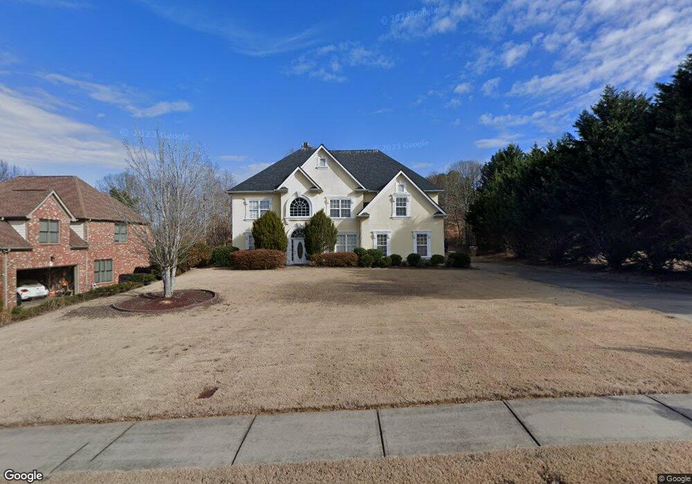
5812 Coles Ct Buford, GA 30518
Estimated Value: $553,026 - $722,000
4
Beds
3
Baths
3,796
Sq Ft
$168/Sq Ft
Est. Value
About This Home
This home is located at 5812 Coles Ct, Buford, GA 30518 and is currently estimated at $639,257, approximately $168 per square foot. 5812 Coles Ct is a home located in Hall County with nearby schools including Friendship Elementary School, C.W. Davis Middle School, and Flowery Branch High School.
Ownership History
Date
Name
Owned For
Owner Type
Purchase Details
Closed on
Sep 14, 2005
Sold by
Lgb Enterprises Inc
Bought by
Shrotria Ravind
Current Estimated Value
Home Financials for this Owner
Home Financials are based on the most recent Mortgage that was taken out on this home.
Original Mortgage
$185,000
Interest Rate
5.44%
Mortgage Type
New Conventional
Purchase Details
Closed on
May 21, 2004
Sold by
Victory Homes Inc
Bought by
Burns Terry C
Home Financials for this Owner
Home Financials are based on the most recent Mortgage that was taken out on this home.
Original Mortgage
$322,905
Interest Rate
5.13%
Mortgage Type
New Conventional
Purchase Details
Closed on
Sep 25, 2002
Sold by
R & M Developers Inc
Bought by
Onyx Construction Company Llc
Create a Home Valuation Report for This Property
The Home Valuation Report is an in-depth analysis detailing your home's value as well as a comparison with similar homes in the area
Home Values in the Area
Average Home Value in this Area
Purchase History
| Date | Buyer | Sale Price | Title Company |
|---|---|---|---|
| Shrotria Ravind | $310,000 | -- | |
| Burns Terry C | $339,000 | -- | |
| Victory Homes Inc | -- | -- | |
| Onyx Construction Company Llc | -- | -- |
Source: Public Records
Mortgage History
| Date | Status | Borrower | Loan Amount |
|---|---|---|---|
| Closed | Shrotria Ravind | $185,000 | |
| Previous Owner | Victory Homes Inc | $322,905 |
Source: Public Records
Tax History
| Year | Tax Paid | Tax Assessment Tax Assessment Total Assessment is a certain percentage of the fair market value that is determined by local assessors to be the total taxable value of land and additions on the property. | Land | Improvement |
|---|---|---|---|---|
| 2025 | $4,113 | $182,440 | $30,080 | $152,360 |
| 2024 | $4,476 | $176,480 | $30,080 | $146,400 |
| 2023 | $3,746 | $192,880 | $30,080 | $162,800 |
| 2022 | $4,304 | $162,800 | $30,080 | $132,720 |
| 2021 | $3,632 | $159,280 | $30,080 | $129,200 |
| 2020 | $3,775 | $136,840 | $21,040 | $115,800 |
| 2019 | $4,014 | $144,400 | $11,040 | $133,360 |
| 2018 | $3,412 | $139,880 | $11,040 | $128,840 |
| 2017 | $3,377 | $123,040 | $14,280 | $108,760 |
| 2016 | $3,185 | $114,280 | $14,280 | $100,000 |
| 2015 | $2,906 | $103,167 | $14,280 | $88,887 |
| 2014 | $2,906 | $103,167 | $14,280 | $88,887 |
Source: Public Records
Map
Nearby Homes
- 5832 Bay View Dr
- 6142 Bethany View Trail
- 5885 Bay View Dr
- 6205 Bridgewood Dr
- 6225 Bridgewood Dr
- 6146 Bethany View Trail
- 6386 Tuggle Dr
- 2482 Windchase Ct
- 6030 Chimney Springs Rd
- 5574 Lanier Islands Pkwy
- 2759 S Waterworks Rd
- 2739 S Waterworks Rd
- 5904 Basswood Cove
- 2019 Lanier Harbor Point
- 5989 Lanier Islands Pkwy
- 5561 Shadburn Ferry_lot 4 Rd
- 5561 Shadburn Ferry-Lot 5 Rd
- 6558 Lanier Islands Pkwy
- 5561 Shadburn Ferry Rd
- 3600 Shoreland Dr
- 5816 Coles Ct
- 5804 Coles Ct Unit 37
- 5804 Coles Ct
- 5823 Waterfall Way
- 5820 Coles Ct
- 5851 Brookside Ct
- 5831 Waterfall Way
- 5813 Coles Ct
- 5803 Coles Ct
- 5824 Coles Ct
- 5817 Coles Ct
- 5845 Brookside Ct
- 5855 Brookside Ct
- 5818 Waterfall Way
- 5822 Waterfall Way
- 5814 Waterfall Way
- 5805 Waterfall Way
- 5828 Coles Ct
- 5821 Coles Ct
- 5852 Brookside Ct
Your Personal Tour Guide
Ask me questions while you tour the home.