5812 Giarde Ln Bellingham, WA 98226
Estimated Value: $737,443 - $824,000
2
Beds
2
Baths
1,813
Sq Ft
$427/Sq Ft
Est. Value
About This Home
This home is located at 5812 Giarde Ln, Bellingham, WA 98226 and is currently estimated at $774,111, approximately $426 per square foot. 5812 Giarde Ln is a home located in Whatcom County with nearby schools including Mount Baker Senior High School.
Ownership History
Date
Name
Owned For
Owner Type
Purchase Details
Closed on
Oct 22, 2014
Sold by
Tomaszewski Emily
Bought by
Tomaszewski Peter
Current Estimated Value
Purchase Details
Closed on
Jul 7, 2014
Sold by
Tomaszewski Shirley
Bought by
Tomazewski Peter and Tomaszewski Emily
Purchase Details
Closed on
Feb 27, 2012
Sold by
Tomaszewski Shirley and Estate Of Karol Peter Tomaszew
Bought by
Tomaszewski Peter and Tomaszewski Emily
Purchase Details
Closed on
Nov 8, 2011
Sold by
Tomaszewski Shirley and Estate Of Karol Peter Tomaszew
Bought by
Tomaszewski Peter and Tomaszewski Emily
Create a Home Valuation Report for This Property
The Home Valuation Report is an in-depth analysis detailing your home's value as well as a comparison with similar homes in the area
Home Values in the Area
Average Home Value in this Area
Purchase History
| Date | Buyer | Sale Price | Title Company |
|---|---|---|---|
| Tomaszewski Peter | -- | None Available | |
| Tomazewski Peter | -- | None Available | |
| Tomaszewski Peter | -- | None Available | |
| Tomaszewski Peter | -- | None Available |
Source: Public Records
Tax History Compared to Growth
Tax History
| Year | Tax Paid | Tax Assessment Tax Assessment Total Assessment is a certain percentage of the fair market value that is determined by local assessors to be the total taxable value of land and additions on the property. | Land | Improvement |
|---|---|---|---|---|
| 2024 | $5,470 | $571,268 | $185,000 | $386,268 |
| 2023 | $5,470 | $756,625 | $388,778 | $367,847 |
| 2022 | $4,788 | $620,169 | $318,663 | $301,506 |
| 2021 | $4,323 | $500,133 | $256,984 | $243,149 |
| 2020 | $3,980 | $423,840 | $217,783 | $206,057 |
| 2019 | $3,553 | $373,435 | $191,883 | $181,552 |
| 2018 | $4,096 | $360,040 | $185,000 | $175,040 |
| 2017 | $3,705 | $324,764 | $149,760 | $175,004 |
| 2016 | $3,564 | $313,487 | $144,560 | $168,927 |
| 2015 | $3,286 | $299,392 | $138,060 | $161,332 |
| 2014 | -- | $281,913 | $130,000 | $151,913 |
| 2013 | -- | $281,913 | $130,000 | $151,913 |
Source: Public Records
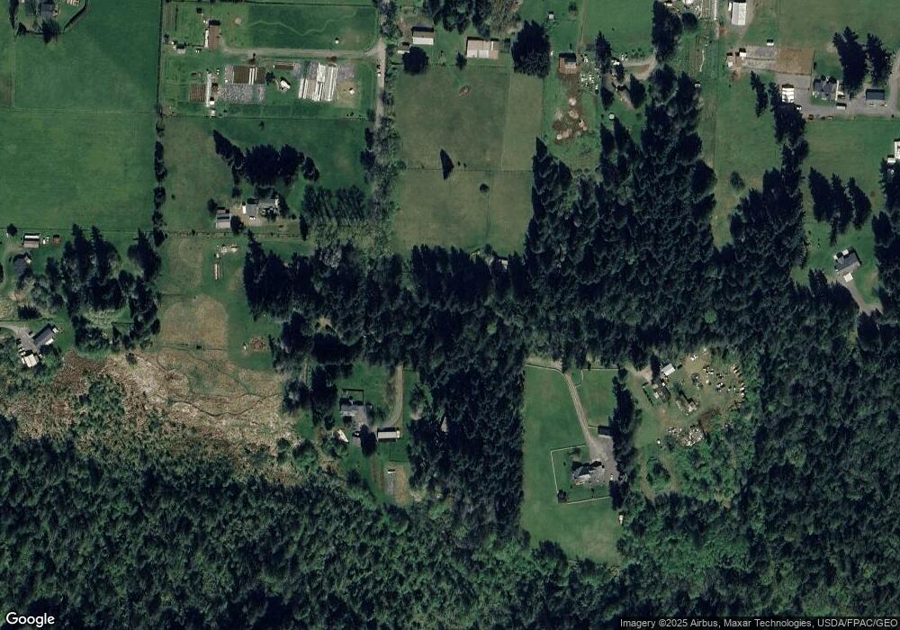
Map
Nearby Homes
- 5544 Sand Rd
- 3025 E Smith Rd
- 2529 E Hemmi Rd
- 5947 Lawrence Rd
- 5196 Sand Rd
- 3505 E Smith Rd
- 6068 E Hemmi Ln
- 3100 Mt Baker Hwy
- 2200 E Smith Rd
- 0 Hoff Cir
- 5818 Everson Goshen Rd
- 6583 Goodwin Rd
- 0 E 66th Terrace
- 2802 Mount Baker Hwy
- 2571 E Smith Rd
- 6794 Goodwin Rd
- 2268 Childers Rd
- 4290 Mt Baker Hwy
- 5975 Hoag Ln
- 2460 E Pole Rd