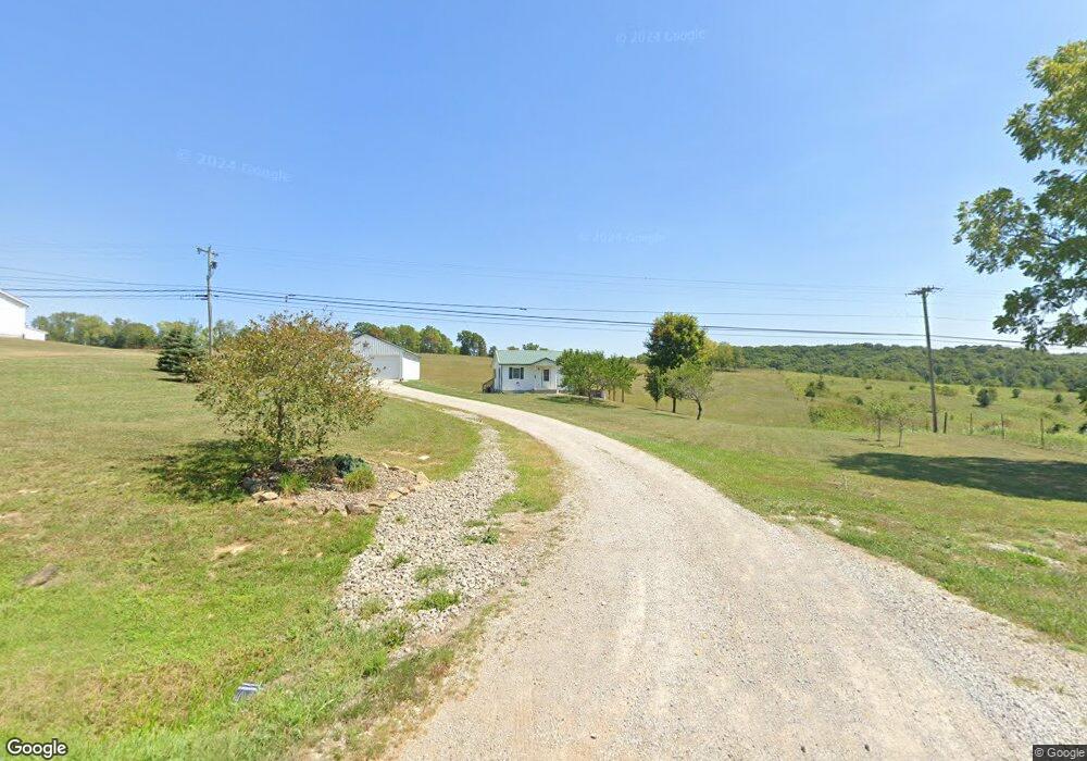
5815 State Route 325 Patriot, OH 45658
Estimated Value: $142,000 - $203,000
2
Beds
1
Bath
900
Sq Ft
$191/Sq Ft
Est. Value
About This Home
This home is located at 5815 State Route 325, Patriot, OH 45658 and is currently estimated at $172,271, approximately $191 per square foot. 5815 State Route 325 is a home with nearby schools including Southwestern Elementary School, River Valley Middle School, and River Valley High School.
Ownership History
Date
Name
Owned For
Owner Type
Purchase Details
Closed on
Mar 1, 2019
Sold by
Provens Tom and Provens Linda
Bought by
Trout Kent M and Trout Kari B
Current Estimated Value
Home Financials for this Owner
Home Financials are based on the most recent Mortgage that was taken out on this home.
Original Mortgage
$56,000
Interest Rate
6.87%
Mortgage Type
Adjustable Rate Mortgage/ARM
Purchase Details
Closed on
Jul 1, 2010
Sold by
Trout Shawn and Trout Ronald K
Bought by
Trout Kent M and Trout Kari B
Create a Home Valuation Report for This Property
The Home Valuation Report is an in-depth analysis detailing your home's value as well as a comparison with similar homes in the area
Home Values in the Area
Average Home Value in this Area
Purchase History
| Date | Buyer | Sale Price | Title Company |
|---|---|---|---|
| Trout Kent M | $85,000 | Northwest Ttl Fam Of Compani | |
| Trout Kent M | -- | None Available |
Source: Public Records
Mortgage History
| Date | Status | Borrower | Loan Amount |
|---|---|---|---|
| Closed | Trout Kent M | $56,000 |
Source: Public Records
Tax History Compared to Growth
Tax History
| Year | Tax Paid | Tax Assessment Tax Assessment Total Assessment is a certain percentage of the fair market value that is determined by local assessors to be the total taxable value of land and additions on the property. | Land | Improvement |
|---|---|---|---|---|
| 2024 | $1,463 | $42,450 | $7,860 | $34,590 |
| 2023 | $1,578 | $42,450 | $7,860 | $34,590 |
| 2022 | $1,444 | $38,250 | $6,650 | $31,600 |
| 2021 | $1,415 | $38,250 | $6,650 | $31,600 |
| 2020 | $1,441 | $38,250 | $6,650 | $31,600 |
| 2019 | $1,316 | $35,110 | $6,050 | $29,060 |
| 2018 | $1,316 | $35,110 | $6,050 | $29,060 |
| 2017 | $1,307 | $35,110 | $6,050 | $29,060 |
| 2016 | $1,273 | $34,390 | $4,840 | $29,550 |
| 2015 | $1,273 | $34,390 | $4,840 | $29,550 |
| 2013 | $1,244 | $33,380 | $4,840 | $28,540 |
| 2012 | $1,244 | $33,380 | $4,840 | $28,540 |
Source: Public Records
Map
Nearby Homes
- 11097 State Route 141
- 1963 Patriot Rd
- 2265 Patriot
- 0 Dougan Rd
- 1745 State Route 325
- 1669 Ohio 233
- Ohio 233
- 1745 Ohio 325
- 2341 Cherry Ridge Rd
- 5188 Ohio 775
- 1190 Starcher Rd
- 6023 State Route 141
- 2988 Smokey Row Rd
- 37 Pine St
- 25 Wagoner Rd
- 2270 Vanco Rd
- 3 Oak Ridge Dr
- 0 Oak Ridge Dr
- 9450 Jimes Emory Rd
- 5765 State Route 325
- 5838 State Route 325
- 5760 State Route 325
- 5632 State Route 325
- 5632 State Route 325
- 340 Metzger Rd
- 5904 State Route 325
- 217 Metzger Rd
- 6101 State Route 325
- 5634 State Route 325
- 6132 State Route 325
- 4231 Nebo Rd
- 4252 Nebo Rd
- 4070 Nebo Rd
- 3959 Nebo Rd
- 4422 Nebo Rd
- 108 Symmes Creek Rd
- 5106 State Route 325
- 283 Symmes Creek Rd
- 10518 State Route 141