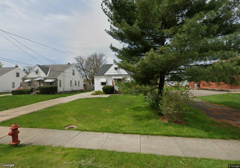
5816 Dunham Rd Maple Heights, OH 44137
Estimated Value: $120,000 - $152,000
3
Beds
2
Baths
884
Sq Ft
$151/Sq Ft
Est. Value
About This Home
This home is located at 5816 Dunham Rd, Maple Heights, OH 44137 and is currently estimated at $133,699, approximately $151 per square foot. 5816 Dunham Rd is a home located in Cuyahoga County with nearby schools including Abraham Lincoln Elementary School, Rockside/ J.F. Kennedy School, and Barack Obama School.
Ownership History
Date
Name
Owned For
Owner Type
Purchase Details
Closed on
Apr 23, 2013
Sold by
Arnold Miles and Arnold Faith
Bought by
Arnold Gabrielle
Current Estimated Value
Purchase Details
Closed on
Jul 12, 2012
Sold by
Devor Gladys A and Hetzel Gladys A
Bought by
Arnold Miles and Arnold Faith
Purchase Details
Closed on
Aug 5, 1977
Sold by
Hetzel Gladys A
Bought by
Devor Gladys A
Purchase Details
Closed on
Jan 1, 1975
Bought by
Hetzel Gladys A
Create a Home Valuation Report for This Property
The Home Valuation Report is an in-depth analysis detailing your home's value as well as a comparison with similar homes in the area
Home Values in the Area
Average Home Value in this Area
Purchase History
| Date | Buyer | Sale Price | Title Company |
|---|---|---|---|
| Arnold Gabrielle | -- | Attorney | |
| Arnold Miles | $30,000 | Chicago Title Insurance Co | |
| Devor Gladys A | -- | -- | |
| Hetzel Gladys A | -- | -- |
Source: Public Records
Tax History Compared to Growth
Tax History
| Year | Tax Paid | Tax Assessment Tax Assessment Total Assessment is a certain percentage of the fair market value that is determined by local assessors to be the total taxable value of land and additions on the property. | Land | Improvement |
|---|---|---|---|---|
| 2024 | $3,485 | $37,625 | $7,035 | $30,590 |
| 2023 | $2,526 | $22,970 | $5,640 | $17,330 |
| 2022 | $2,517 | $22,960 | $5,640 | $17,330 |
| 2021 | $2,684 | $22,960 | $5,640 | $17,330 |
| 2020 | $2,450 | $18,830 | $4,620 | $14,210 |
| 2019 | $2,323 | $53,800 | $13,200 | $40,600 |
| 2018 | $2,425 | $18,830 | $4,620 | $14,210 |
| 2017 | $2,429 | $18,450 | $4,060 | $14,390 |
| 2016 | $2,348 | $18,450 | $4,060 | $14,390 |
| 2015 | -- | $18,450 | $4,060 | $14,390 |
| 2014 | -- | $19,010 | $4,200 | $14,810 |
Source: Public Records
Map
Nearby Homes
- 14808 James Ave
- 14708 Brunswick Ave
- 15617 Rockside Rd
- 14775 Lisa Dr
- 15803 Maplewood Ave
- 15800 Northwood Ave
- 14404 Tokay Ave
- 14214 Tabor Ave
- 14203 Tabor Ave
- 14951 Carol Dr
- 6089 Dunham Rd
- 15505 Benhoff Dr
- 13804 Rockside Rd
- 15709 Steinway Blvd
- 15817 Steinway Blvd
- 13905 Thraves Ave
- 15701 Walvern Blvd
- 14417 Corridon Ave
- 15405 Turney Rd
- 13741 Grove Dr
- 5820 Dunham Rd
- 15106 Rockside Rd
- 5824 Dunham Rd
- 15104 Rockside Rd
- 14813 Wheeler Rd
- 5811 Dunham Rd
- 15102 Rockside Rd
- 14809 Wheeler Rd
- 15100 Rockside Rd
- 5834 Dunham Rd
- 14805 Wheeler Rd
- 15098 00 Rockside Rd
- 14816 Wheeler Rd
- 15098 Rockside Rd
- 14812 Wheeler Rd
- 5840 Dunham Rd
- 14801 Wheeler Rd
- 15096 Rockside Rd
- 5831 Dunham Rd
- 14808 Wheeler Rd