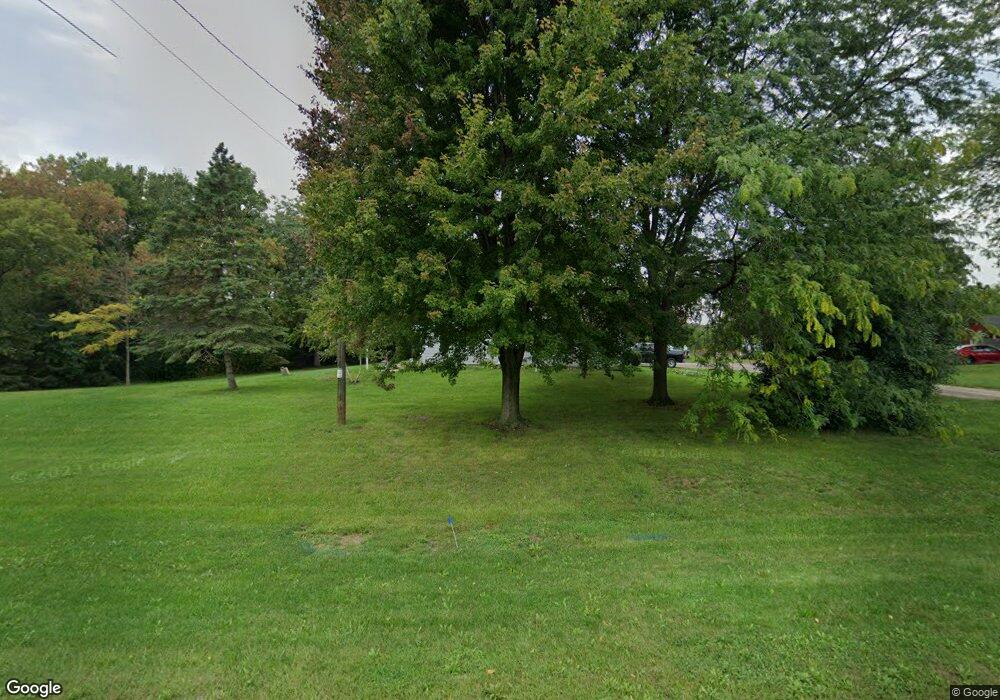
5818 Springbrook Rd Pleasant Prairie, WI 53158
Village of Pleasant Prairie NeighborhoodEstimated Value: $268,000 - $284,000
3
Beds
1
Bath
1,071
Sq Ft
$260/Sq Ft
Est. Value
About This Home
This home is located at 5818 Springbrook Rd, Pleasant Prairie, WI 53158 and is currently estimated at $278,326, approximately $259 per square foot. 5818 Springbrook Rd is a home located in Kenosha County with nearby schools including Prairie Lane Elementary School, Mahone Middle School, and Indian Trail High School And Academy.
Ownership History
Date
Name
Owned For
Owner Type
Purchase Details
Closed on
Jun 12, 2020
Sold by
Barber Jack A
Bought by
Lopez Gustavo
Current Estimated Value
Home Financials for this Owner
Home Financials are based on the most recent Mortgage that was taken out on this home.
Original Mortgage
$185,250
Outstanding Balance
$164,210
Interest Rate
3.2%
Mortgage Type
New Conventional
Estimated Equity
$114,116
Create a Home Valuation Report for This Property
The Home Valuation Report is an in-depth analysis detailing your home's value as well as a comparison with similar homes in the area
Home Values in the Area
Average Home Value in this Area
Purchase History
| Date | Buyer | Sale Price | Title Company |
|---|---|---|---|
| Lopez Gustavo | $195,000 | None Available |
Source: Public Records
Mortgage History
| Date | Status | Borrower | Loan Amount |
|---|---|---|---|
| Open | Lopez Gustavo | $185,250 |
Source: Public Records
Tax History Compared to Growth
Tax History
| Year | Tax Paid | Tax Assessment Tax Assessment Total Assessment is a certain percentage of the fair market value that is determined by local assessors to be the total taxable value of land and additions on the property. | Land | Improvement |
|---|---|---|---|---|
| 2024 | $2,472 | $225,400 | $93,200 | $132,200 |
| 2023 | $2,390 | $192,400 | $84,700 | $107,700 |
| 2022 | $2,442 | $192,400 | $84,700 | $107,700 |
| 2021 | $2,638 | $151,300 | $72,000 | $79,300 |
| 2020 | $2,718 | $151,300 | $72,000 | $79,300 |
| 2019 | $2,478 | $151,300 | $72,000 | $79,300 |
| 2018 | $2,534 | $151,300 | $72,000 | $79,300 |
| 2017 | $2,935 | $136,000 | $67,800 | $68,200 |
| 2016 | $2,898 | $136,000 | $67,800 | $68,200 |
| 2015 | $2,469 | $127,700 | $63,500 | $64,200 |
| 2014 | -- | $127,700 | $63,500 | $64,200 |
Source: Public Records
Map
Nearby Homes
- 11449 61st Ave
- Lt5 113th St
- Lt6 113th St
- Lt12 113th St
- Lt18 Cedar Ridge Ct
- Lt19 Cedar Ridge Ct
- Lt30 Cedar Ridge Ct
- Lt17 Cedar Ridge Ct
- Lt32 Cedar Ridge Ct
- Lt35 113th St
- Lt34 Cedar Ridge Ct
- Lt15 113th St
- Lt24 Cedar Ridge Ct
- Lt2 113th St
- Lt14 113th St
- Lt10 113th St
- Lt25 Cedar Ridge Ct
- Lt7 113th St
- Lt3 113th St
- Lt23 Cedar Ridge Ct
- 5806 Springbrook Rd
- 5720 Springbrook Rd
- 5717 Springbrook Rd
- 5644 116th St
- 5703 Springbrook Rd
- 5621 Springbrook Rd
- 5672 Springbrook Rd
- 5901 Springbrook Rd
- 5630 116th St
- 5613 Springbrook Rd
- 11509 61st Ave
- 11409 61st Ave
- 5601 Springbrook Rd
- 5618 116th St
- 6020 116th St
- 11462 61st Ave
- 11516 61st Ave
- 5602 116th St
- 11550 61st Ave
- 11414 61st Ave
