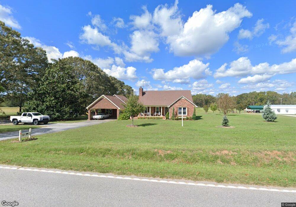
582 Curry Rd Laurens, SC 29360
Estimated Value: $157,000 - $339,000
--
Bed
--
Bath
--
Sq Ft
1.01
Acres
About This Home
This home is located at 582 Curry Rd, Laurens, SC 29360 and is currently estimated at $229,828. 582 Curry Rd is a home with nearby schools including Ford Elementary School, Sanders Middle School, and Laurens District 55 High School.
Ownership History
Date
Name
Owned For
Owner Type
Purchase Details
Closed on
Aug 6, 2024
Sold by
West Laurie C
Bought by
West Christopher Andrew and Dasher Emily Jolene
Current Estimated Value
Purchase Details
Closed on
Feb 26, 2024
Sold by
West George E
Bought by
West George E and West Christopher Andrew
Purchase Details
Closed on
Jan 25, 2011
Sold by
West George Edward
Bought by
West Laurie C
Create a Home Valuation Report for This Property
The Home Valuation Report is an in-depth analysis detailing your home's value as well as a comparison with similar homes in the area
Home Values in the Area
Average Home Value in this Area
Purchase History
| Date | Buyer | Sale Price | Title Company |
|---|---|---|---|
| West Christopher Andrew | -- | None Listed On Document | |
| West George E | -- | None Listed On Document | |
| West Laurie C | -- | None Available |
Source: Public Records
Tax History Compared to Growth
Tax History
| Year | Tax Paid | Tax Assessment Tax Assessment Total Assessment is a certain percentage of the fair market value that is determined by local assessors to be the total taxable value of land and additions on the property. | Land | Improvement |
|---|---|---|---|---|
| 2024 | $494 | $4,720 | $230 | $4,490 |
| 2023 | $494 | $480 | $0 | $0 |
| 2022 | $478 | $4,720 | $230 | $4,490 |
| 2021 | $375 | $4,100 | $220 | $3,880 |
| 2020 | $366 | $4,100 | $220 | $3,880 |
| 2019 | $699 | $4,100 | $220 | $3,880 |
| 2018 | $678 | $4,100 | $220 | $3,880 |
| 2017 | $651 | $4,100 | $220 | $3,880 |
| 2015 | $610 | $4,140 | $180 | $3,960 |
| 2014 | $610 | $4,140 | $180 | $3,960 |
| 2013 | $610 | $4,140 | $180 | $3,960 |
Source: Public Records
Map
Nearby Homes
- 06 Setzler Rd
- 02 Setzler Rd
- 09 Setzler Rd
- 01 Setzler Rd
- 08 Setzler Rd
- 07 Setzler Rd
- 05 Setzler Rd
- 0000 Penland Rd Unit CATTLE DRIVE TRACK B
- 17 Gallon St
- 110 Turquoise Dr
- 610 Swygert St
- 6 Townsend St
- 940 Cattle Dr
- 748 Cattle Dr
- 806 Watts Ave
- 00 Ranch Rd
- 151 Ranch Rd
- 0 Watts Ave
- 1147 Mount Vernon Church Rd
- 206 Clemson St
- 492 Curry Rd
- 585 Curry Rd
- 470 Curry Rd
- 561 Curry Rd
- 481 Curry Rd
- 673 Curry Rd
- 357 Cathcart Cir
- 443 Curry Rd
- 276 Cathcart Cir
- 744 Curry Rd
- 212 Northside Church Rd
- 252 Cathcart Cir
- 339 Cathcart Cir
- 373 Cathcart Cir
- 365 Curry Rd
- 303 Cathcart Cir
- 227 Cathcart Cir
- 206 Northside Church Rd
- 218 Cathcart Cir
- 187 Cathcart Cir