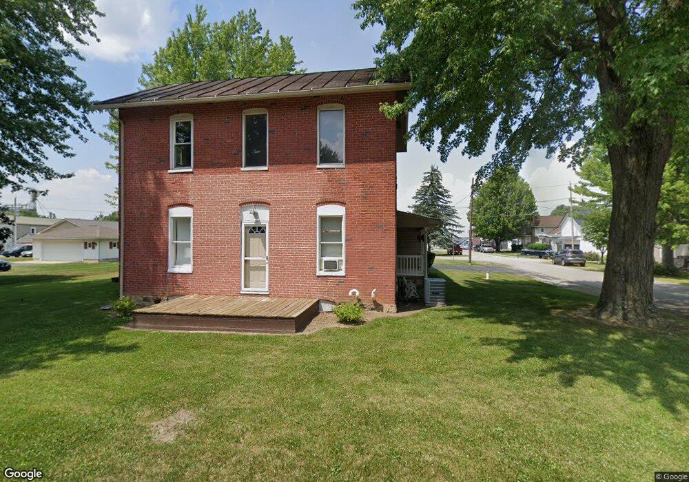
582 N Elm St Bascom, OH 44809
Estimated Value: $162,770 - $232,000
3
Beds
1
Bath
2,222
Sq Ft
$86/Sq Ft
Est. Value
About This Home
This home is located at 582 N Elm St, Bascom, OH 44809 and is currently estimated at $190,693, approximately $85 per square foot. 582 N Elm St is a home with nearby schools including Hopewell-Loudon Local Elementary School and North Central Academy - Fremont.
Ownership History
Date
Name
Owned For
Owner Type
Purchase Details
Closed on
Oct 29, 2021
Sold by
Andrews Nicole A
Bought by
Cousin Davon and Andrews Nicole A
Current Estimated Value
Purchase Details
Closed on
Jul 18, 2000
Sold by
Andrews Chad W
Bought by
Andrews Nicole A
Purchase Details
Closed on
Nov 18, 1996
Sold by
Spero Allen W
Bought by
Andrews Chad W
Create a Home Valuation Report for This Property
The Home Valuation Report is an in-depth analysis detailing your home's value as well as a comparison with similar homes in the area
Purchase History
| Date | Buyer | Sale Price | Title Company |
|---|---|---|---|
| Cousin Davon | $23,100 | None Available | |
| Andrews Nicole A | -- | -- | |
| Andrews Chad W | $66,500 | -- |
Source: Public Records
Tax History
| Year | Tax Paid | Tax Assessment Tax Assessment Total Assessment is a certain percentage of the fair market value that is determined by local assessors to be the total taxable value of land and additions on the property. | Land | Improvement |
|---|---|---|---|---|
| 2025 | $1,947 | $51,240 | $2,560 | $48,680 |
| 2024 | $1,903 | $51,240 | $2,560 | $48,680 |
| 2023 | $1,940 | $51,240 | $2,560 | $48,680 |
| 2022 | $1,559 | $37,750 | $2,560 | $35,190 |
| 2021 | $1,567 | $37,750 | $2,560 | $35,190 |
| 2020 | $1,539 | $37,744 | $2,555 | $35,189 |
| 2019 | $1,325 | $31,854 | $2,223 | $29,631 |
| 2018 | $1,378 | $31,854 | $2,223 | $29,631 |
| 2017 | $1,400 | $31,854 | $2,223 | $29,631 |
| 2016 | $1,115 | $27,546 | $2,223 | $25,323 |
| 2015 | $1,100 | $27,546 | $2,223 | $25,323 |
| 2014 | $1,030 | $27,546 | $2,223 | $25,323 |
| 2013 | $1,125 | $27,546 | $2,223 | $25,323 |
Source: Public Records
Map
Nearby Homes
- 2945 W State Route 18
- 0 Shaffer Park Dr Unit 20251435
- 3007 W County Road 52
- 2400 S Township Road 119 Unit 36
- 3166 N County Road 11
- 2400 S Twp Rd 119 Unit 16
- 0 Tr 0113
- 0 Township Road 198a Unit Parcel 4
- 0 Township Road 198a Unit 10003057
- 0 W Tr 198a Unit 20260135
- 0 Miami St Unit 10003054
- 0 Miami St Unit Parcel 2
- 0 Miami St Unit 20260131
- 376 W Perry St
- 96 Lindsay Ave
- 127 Wentz St
- 311 W Perry St
- 795 S Sandusky St
- 109 -111 Wall St
- 109 Wall St
Your Personal Tour Guide
Ask me questions while you tour the home.