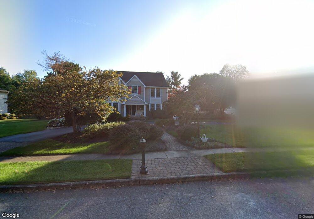
582 Sentinel Rd Moorestown, NJ 08057
Estimated Value: $1,030,000 - $1,097,000
--
Bed
--
Bath
2,730
Sq Ft
$389/Sq Ft
Est. Value
About This Home
This home is located at 582 Sentinel Rd, Moorestown, NJ 08057 and is currently estimated at $1,060,862, approximately $388 per square foot. 582 Sentinel Rd is a home located in Burlington County with nearby schools including George C. Baker Elementary School, Moorestown Upper Elementary School, and William Allen Middle School.
Ownership History
Date
Name
Owned For
Owner Type
Purchase Details
Closed on
Oct 29, 2003
Sold by
Nikolich Peter E and Nikolich Maureen W
Bought by
Richardson Charles E and Richardson Janice A
Current Estimated Value
Home Financials for this Owner
Home Financials are based on the most recent Mortgage that was taken out on this home.
Original Mortgage
$50,000
Outstanding Balance
$23,508
Interest Rate
6.09%
Mortgage Type
Credit Line Revolving
Estimated Equity
$1,037,354
Purchase Details
Closed on
Apr 16, 1997
Sold by
Hourigan Daniel C and Hourigan Cynthia A
Bought by
Nikolich Peter E and Nikolich Maureen W
Create a Home Valuation Report for This Property
The Home Valuation Report is an in-depth analysis detailing your home's value as well as a comparison with similar homes in the area
Home Values in the Area
Average Home Value in this Area
Purchase History
| Date | Buyer | Sale Price | Title Company |
|---|---|---|---|
| Richardson Charles E | $541,000 | Homestead Title Agency | |
| Nikolich Peter E | $348,000 | Collegiate Title & Abstract |
Source: Public Records
Mortgage History
| Date | Status | Borrower | Loan Amount |
|---|---|---|---|
| Open | Richardson Charles E | $50,000 | |
| Open | Richardson Charles E | $322,000 |
Source: Public Records
Tax History Compared to Growth
Tax History
| Year | Tax Paid | Tax Assessment Tax Assessment Total Assessment is a certain percentage of the fair market value that is determined by local assessors to be the total taxable value of land and additions on the property. | Land | Improvement |
|---|---|---|---|---|
| 2025 | $16,120 | $568,200 | $240,300 | $327,900 |
| 2024 | $15,631 | $568,200 | $240,300 | $327,900 |
| 2023 | $15,631 | $568,200 | $240,300 | $327,900 |
| 2022 | $15,472 | $568,200 | $240,300 | $327,900 |
| 2021 | $15,267 | $568,200 | $240,300 | $327,900 |
| 2020 | $15,171 | $568,200 | $240,300 | $327,900 |
| 2019 | $14,904 | $568,200 | $240,300 | $327,900 |
| 2018 | $14,500 | $568,200 | $240,300 | $327,900 |
| 2017 | $14,625 | $568,200 | $240,300 | $327,900 |
| 2016 | $14,574 | $568,200 | $240,300 | $327,900 |
| 2015 | $14,398 | $568,200 | $240,300 | $327,900 |
| 2014 | $13,671 | $568,200 | $240,300 | $327,900 |
Source: Public Records
Map
Nearby Homes
- 628 Windsock Way
- 7 Whitetail Ct
- 57 Brooks Rd
- 744 Signal Light Rd
- 693 Garwood Rd
- 5 Murray Rd
- 97 Brooks Rd
- 863 Golf View Rd
- 39 Bramley Rd
- 415 Bridgeboro Rd
- 740 Garwood Rd
- 700 Bentley Ct
- 103 Congressional Ct
- 4327 Bridgeboro Rd
- 633 E Main St Unit B7
- 408 E 2nd St
- 514 E Main St
- 205 E Central Ave
- 526 E Main St
- 308 Elm St
- 584 Sentinel Rd
- 580 Sentinel Rd
- 4 Eaglebrook Ct
- 581 Sentinel Rd
- 588 Sentinel Rd
- 3 Eaglebrook Ct
- 583 Sentinel Rd
- 585 Sentinel Rd
- 5 Eaglebrook Ct
- 578 Sentinel Rd
- 579 Sentinel Rd
- 594 Sentinel Rd
- 587 Sentinel Rd
- 576 Sentinel Rd
- 589 Sentinel Rd
- 2 Eaglebrook Ct
- 577 Sentinel Rd
- 548 Eaglebrook Dr
- 552 Eaglebrook Dr
- 593 Sentinel Rd