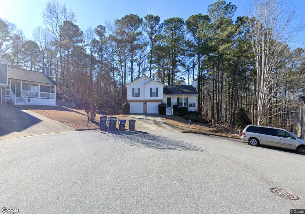
5820 April Dr Unit 1 Buford, GA 30518
Estimated Value: $365,000 - $415,000
4
Beds
3
Baths
1,446
Sq Ft
$268/Sq Ft
Est. Value
About This Home
This home is located at 5820 April Dr Unit 1, Buford, GA 30518 and is currently estimated at $386,914, approximately $267 per square foot. 5820 April Dr Unit 1 is a home located in Gwinnett County with nearby schools including Sycamore Elementary School, Lanier Middle School, and Lanier High School.
Ownership History
Date
Name
Owned For
Owner Type
Purchase Details
Closed on
Oct 12, 2010
Sold by
Bennett Leandre L
Bought by
Davis Regina
Current Estimated Value
Purchase Details
Closed on
Nov 9, 2001
Sold by
Southfork Homes Inc
Bought by
Davis Regina R
Home Financials for this Owner
Home Financials are based on the most recent Mortgage that was taken out on this home.
Original Mortgage
$153,214
Interest Rate
6.59%
Mortgage Type
FHA
Create a Home Valuation Report for This Property
The Home Valuation Report is an in-depth analysis detailing your home's value as well as a comparison with similar homes in the area
Home Values in the Area
Average Home Value in this Area
Purchase History
| Date | Buyer | Sale Price | Title Company |
|---|---|---|---|
| Davis Regina | -- | -- | |
| Davis Regina R | $155,700 | -- |
Source: Public Records
Mortgage History
| Date | Status | Borrower | Loan Amount |
|---|---|---|---|
| Previous Owner | Davis Regina R | $153,214 |
Source: Public Records
Tax History Compared to Growth
Tax History
| Year | Tax Paid | Tax Assessment Tax Assessment Total Assessment is a certain percentage of the fair market value that is determined by local assessors to be the total taxable value of land and additions on the property. | Land | Improvement |
|---|---|---|---|---|
| 2025 | $579 | $155,000 | $34,000 | $121,000 |
| 2024 | $5,236 | $150,040 | $26,000 | $124,040 |
| 2023 | $5,236 | $150,040 | $26,000 | $124,040 |
| 2022 | $4,316 | $123,320 | $22,000 | $101,320 |
| 2021 | $3,727 | $104,400 | $16,000 | $88,400 |
| 2020 | $3,965 | $98,840 | $16,000 | $82,840 |
| 2019 | $3,827 | $98,840 | $16,000 | $82,840 |
| 2018 | $3,357 | $86,240 | $16,000 | $70,240 |
| 2016 | $2,592 | $66,440 | $12,800 | $53,640 |
| 2015 | $2,296 | $58,080 | $9,200 | $48,880 |
| 2014 | $2,309 | $58,080 | $9,200 | $48,880 |
Source: Public Records
Map
Nearby Homes
- 5880 April Dr Unit 1
- 5757 Riverside Dr Unit 2
- 1275 Riverside Rd
- 5683 Riverside Walk Dr
- 5870 Tallant Dr
- 5800 S Richland Creek Rd
- 6050 April Dr
- 5680 Princeton Oaks Dr
- 5650 Princeton Oaks Dr
- 1240 Magellan Dr
- 1250 Magellan Dr
- Hampstead Plan at Arbors at Richland Creek
- Lancaster Plan at Arbors at Richland Creek
- Savoy Plan at Arbors at Richland Creek
- 1260 Magellan Dr
- 5689 Winter Bluff Way
- 5660 Winter Bluff Way
- 1114 Danube Trail
- 5810 April Dr
- 5830 April Dr
- 5831 Swan Walk
- 5841 Swan Walk
- 5800 April Dr
- 5840 April Dr
- 5821 Swan Walk
- 5825 April Dr
- 5850 April Dr
- 5845 April Dr
- 5851 Swan Walk
- 5811 Swan Walk
- 1300 Richland Creek Trail
- 1303 Richland Creek Trail
- 5818 Millard Duncan Rd
- 5860 April Dr
- 0 Millard Duncan Rd
- 5855 April Dr
- 5840 Swan Walk
- 5850 Swan Walk