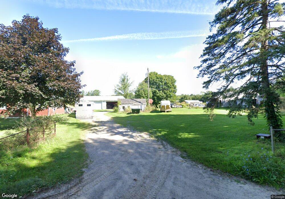
5820 Crofoot Rd Howell, MI 48843
Estimated Value: $396,958 - $432,000
--
Bed
1
Bath
1,425
Sq Ft
$291/Sq Ft
Est. Value
About This Home
This home is located at 5820 Crofoot Rd, Howell, MI 48843 and is currently estimated at $414,490, approximately $290 per square foot. 5820 Crofoot Rd is a home located in Livingston County with nearby schools including Challenger Elementary School, Parker Middle School, and Howell High School.
Ownership History
Date
Name
Owned For
Owner Type
Purchase Details
Closed on
Jun 4, 2004
Sold by
Stjohn Kathy A
Bought by
Stjohn Tony H
Current Estimated Value
Purchase Details
Closed on
Jul 31, 2002
Sold by
Nichols Mark D and Nichols Patricia K
Bought by
Stjohn Tony H and Stjohn Kathy A
Home Financials for this Owner
Home Financials are based on the most recent Mortgage that was taken out on this home.
Original Mortgage
$184,000
Outstanding Balance
$78,249
Interest Rate
6.62%
Estimated Equity
$336,241
Create a Home Valuation Report for This Property
The Home Valuation Report is an in-depth analysis detailing your home's value as well as a comparison with similar homes in the area
Home Values in the Area
Average Home Value in this Area
Purchase History
| Date | Buyer | Sale Price | Title Company |
|---|---|---|---|
| Stjohn Tony H | -- | -- | |
| Stjohn Tony H | $230,000 | Philip R Seaver Title Co Inc |
Source: Public Records
Mortgage History
| Date | Status | Borrower | Loan Amount |
|---|---|---|---|
| Open | Stjohn Tony H | $184,000 |
Source: Public Records
Tax History Compared to Growth
Tax History
| Year | Tax Paid | Tax Assessment Tax Assessment Total Assessment is a certain percentage of the fair market value that is determined by local assessors to be the total taxable value of land and additions on the property. | Land | Improvement |
|---|---|---|---|---|
| 2025 | $2,433 | $180,200 | $0 | $0 |
| 2024 | $1,611 | $176,200 | $0 | $0 |
| 2023 | $1,539 | $149,000 | $0 | $0 |
| 2022 | $2,093 | $143,100 | $0 | $0 |
| 2021 | $2,040 | $143,100 | $0 | $0 |
| 2020 | $2,078 | $142,700 | $0 | $0 |
| 2019 | $2,049 | $134,000 | $0 | $0 |
| 2018 | $2,033 | $129,500 | $0 | $0 |
| 2017 | $2,001 | $125,300 | $0 | $0 |
| 2016 | $1,986 | $104,500 | $0 | $0 |
| 2014 | $1,857 | $87,200 | $0 | $0 |
| 2012 | $1,857 | $80,700 | $0 | $0 |
Source: Public Records
Map
Nearby Homes
- 323 S Truhn Rd
- 0000 Pingree Rd
- 1088 Kern Rd
- 3825 Norton Rd
- 7031 Munsell Rd
- 0000 N Burkhart Rd
- 513 Timbermill Ln Unit 10
- 4033 Jewell Rd
- 6111 Sargent Rd
- Parcel 20 Munsell Rd
- 2699 Cedar Lake Rd
- 971 Red Cedar Dr
- 5430 Arboretum Trail
- 4477 Single Tree Dr
- 4740 Spring Creek Dr Unit 134
- 2960 Cedar Lake Rd
- 996 River Line Dr Unit 38
- 1019 River Line Dr Unit 396
- 1021 River Line Dr Unit 395
- 5748 W Coon Lake Rd
- VAC Crofoot Rd
- 5842 Crofoot Rd
- 5656 Crofoot Rd
- 5874 Crofoot Rd
- 5759 Crofoot Rd
- 5665 Crofoot Rd
- 5896 Crofoot Rd
- 5703 Crofoot Rd
- 5863 Crofoot Rd
- 5918 Crofoot Rd
- 936 Pingree Rd Unit Bldg-Unit
- 936 Pingree Rd
- 5660 Crofoot Rd
- 5659 Crofoot Rd
- 5659 Crofoot Rd
- 5694 Crofoot Rd
- 5610 Crofoot Rd
- 5929 Crofoot Rd
- 5929 Crofoot Rd
- 5611 Crofoot Rd