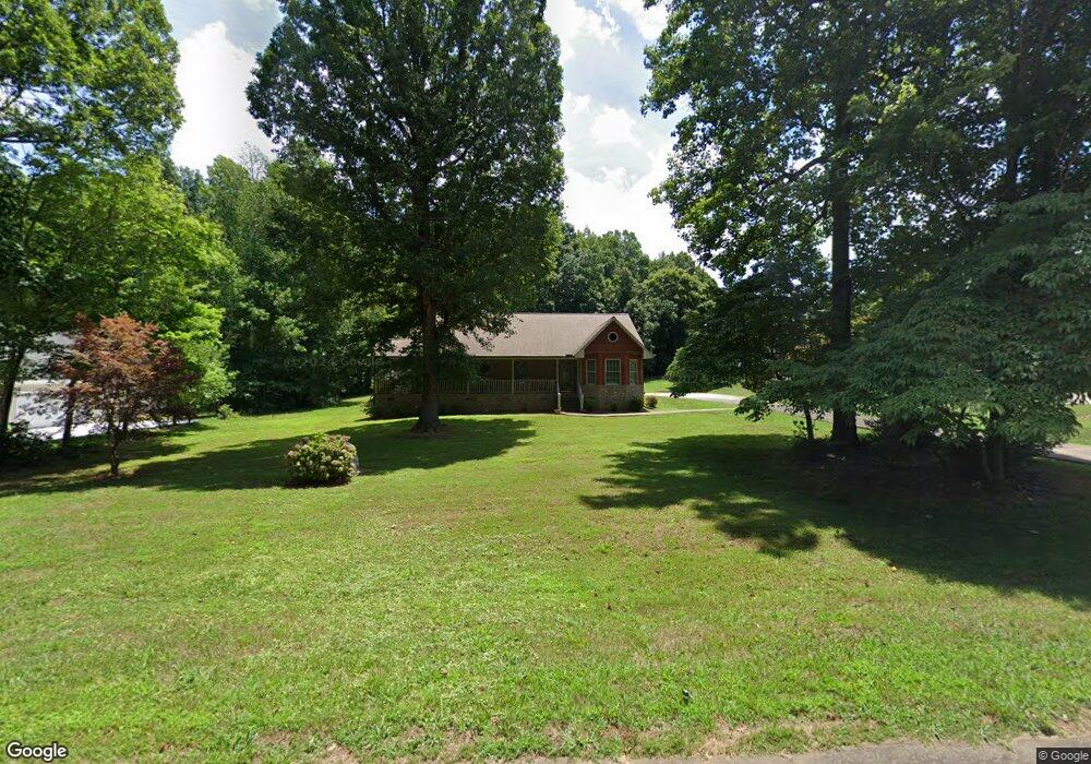
5820 Laurel Ridge Rd Snow Camp, NC 27349
Estimated Value: $431,000 - $506,000
3
Beds
3
Baths
2,220
Sq Ft
$210/Sq Ft
Est. Value
About This Home
This home is located at 5820 Laurel Ridge Rd, Snow Camp, NC 27349 and is currently estimated at $466,095, approximately $209 per square foot. 5820 Laurel Ridge Rd is a home located in Alamance County with nearby schools including Edwin M. Holt Elementary School, Southern Alamance Middle School, and Southern Alamance High School.
Ownership History
Date
Name
Owned For
Owner Type
Purchase Details
Closed on
Mar 11, 2021
Sold by
Mccant Priscilla Bradshaw and Jerry W Mccant Living Trust
Bought by
Mccant Priscilla Bradshaw
Current Estimated Value
Purchase Details
Closed on
Jan 25, 2007
Sold by
Bouldin Wilbur L
Bought by
Mccant Jerry W
Home Financials for this Owner
Home Financials are based on the most recent Mortgage that was taken out on this home.
Original Mortgage
$191,200
Interest Rate
6.08%
Mortgage Type
New Conventional
Create a Home Valuation Report for This Property
The Home Valuation Report is an in-depth analysis detailing your home's value as well as a comparison with similar homes in the area
Home Values in the Area
Average Home Value in this Area
Purchase History
| Date | Buyer | Sale Price | Title Company |
|---|---|---|---|
| Mccant Priscilla Bradshaw | -- | None Available | |
| Bradshaw Mccant Priscilla | -- | None Listed On Document | |
| Mccant Jerry W | $239,000 | -- |
Source: Public Records
Mortgage History
| Date | Status | Borrower | Loan Amount |
|---|---|---|---|
| Previous Owner | Mccant Jerry W | $191,200 |
Source: Public Records
Tax History Compared to Growth
Tax History
| Year | Tax Paid | Tax Assessment Tax Assessment Total Assessment is a certain percentage of the fair market value that is determined by local assessors to be the total taxable value of land and additions on the property. | Land | Improvement |
|---|---|---|---|---|
| 2025 | $2,641 | $444,530 | $33,786 | $410,744 |
| 2024 | $2,473 | $444,530 | $33,786 | $410,744 |
| 2023 | $2,297 | $444,530 | $33,786 | $410,744 |
| 2022 | $1,687 | $218,719 | $25,339 | $193,380 |
| 2021 | $1,708 | $218,719 | $25,339 | $193,380 |
| 2020 | $1,665 | $218,719 | $25,339 | $193,380 |
| 2019 | $1,673 | $218,719 | $25,339 | $193,380 |
| 2018 | $0 | $218,719 | $25,339 | $193,380 |
| 2017 | $1,476 | $218,719 | $25,339 | $193,380 |
| 2016 | $1,616 | $239,426 | $42,232 | $197,194 |
| 2015 | $1,608 | $239,426 | $42,232 | $197,194 |
| 2014 | -- | $239,426 | $42,232 | $197,194 |
Source: Public Records
Map
Nearby Homes
- 5859 Laurel Ridge Dr
- 0 Boulder Rd
- 2832 Russell McPherson Rd
- 5313 Bass Mountain Rd
- 5464 Bass Mountain Rd
- 0 Bass Mountain Rd Unit 10124655
- 5303 Bass Mountain Rd
- 6550 Beale Rd
- 5507 Eagles Nest Trail
- 6439 Beale Rd
- 5576 Foothills Ct
- 5923 Wild Horse Canyon Rd
- 4105 Ralph Holt Ct
- 4109 Ralph Holt Ct
- 2668 Ashewood Dr
- 6242 Wild Horse Canyon Rd
- 0 Thompson Mill Rd Unit 10117613
- 5765 Snow Camp Rd
- 4021 Swannie Coble Rd
- 5820 Laurel Ridge Dr
- 5796 Laurel Ridge Dr
- 5826 Laurel Ridge Dr
- 5826 Laurel Ridge Rd
- 5807 Ironwood Dr
- 7 Laurel Ridge Dr
- 8 Laurel Ridge Dr
- 6 Laurel Ridge Dr
- 9 Laurel Ridge Dr
- 0 Laurel Ridge Dr
- 21 Laurel Ridge Dr
- Lot 26A Laurel Ridge Dr
- Lot 10A Laurel Ridge Dr
- Lot 25A Laurel Ridge Dr
- Lot 53 Iron Wood Dr
- 5864 Laurel Ridge Dr
- 5864 Laurel Ridge Dr
- 5795 Ironwood Dr
- 5825 Laurel Ridge Rd
- Lot 57 Ironwood Dr