Estimated Value: $202,691 - $254,000
3
Beds
1
Bath
1,120
Sq Ft
$205/Sq Ft
Est. Value
About This Home
This home is located at 58200 Cherry Rd, Boone, CO 81025 and is currently estimated at $229,564, approximately $204 per square foot. 58200 Cherry Rd is a home located in Pueblo County with nearby schools including Avondale Elementary School, Vineland Middle School, and Pueblo County High School.
Ownership History
Date
Name
Owned For
Owner Type
Purchase Details
Closed on
Mar 15, 1994
Sold by
Boies Lee Tracy
Bought by
Mayfield Joseph E + Lori J
Current Estimated Value
Purchase Details
Closed on
May 10, 1991
Bought by
Boies Lee Tracy
Purchase Details
Closed on
Jun 10, 1988
Sold by
United Bank Of Pueblo
Bought by
Brescher Daniel W
Purchase Details
Closed on
Mar 28, 1988
Sold by
Vannunen Arnold
Bought by
United Bank Of Pueblo
Purchase Details
Closed on
Jul 28, 1982
Sold by
Vannunen A Jr + V M
Bought by
Vannunen Arnold
Purchase Details
Closed on
Feb 1, 1980
Sold by
Tecklenburg D E + D
Bought by
Vannunen A Jr + V M
Purchase Details
Closed on
Nov 2, 1976
Sold by
Sharon W J + Lois
Bought by
Tecklenburg D E + D
Create a Home Valuation Report for This Property
The Home Valuation Report is an in-depth analysis detailing your home's value as well as a comparison with similar homes in the area
Purchase History
| Date | Buyer | Sale Price | Title Company |
|---|---|---|---|
| Mayfield Joseph E + Lori J | $25,000 | -- | |
| Boies Lee Tracy | $25,000 | -- | |
| Brescher Daniel W | $36,800 | -- | |
| United Bank Of Pueblo | -- | -- | |
| Vannunen Arnold | -- | -- | |
| Vannunen A Jr + V M | $38,000 | -- | |
| Tecklenburg D E + D | $35,000 | -- |
Source: Public Records
Tax History
| Year | Tax Paid | Tax Assessment Tax Assessment Total Assessment is a certain percentage of the fair market value that is determined by local assessors to be the total taxable value of land and additions on the property. | Land | Improvement |
|---|---|---|---|---|
| 2024 | $584 | $5,560 | -- | -- |
| 2023 | $591 | $9,240 | $500 | $8,740 |
| 2022 | $752 | $7,200 | $920 | $6,280 |
| 2021 | $771 | $7,410 | $940 | $6,470 |
| 2020 | $568 | $5,450 | $310 | $5,140 |
| 2019 | $567 | $5,454 | $311 | $5,143 |
| 2018 | $428 | $4,112 | $313 | $3,799 |
| 2017 | $428 | $4,112 | $313 | $3,799 |
| 2016 | $427 | $4,105 | $346 | $3,759 |
| 2015 | $212 | $4,105 | $346 | $3,759 |
| 2014 | $221 | $4,279 | $346 | $3,933 |
Source: Public Records
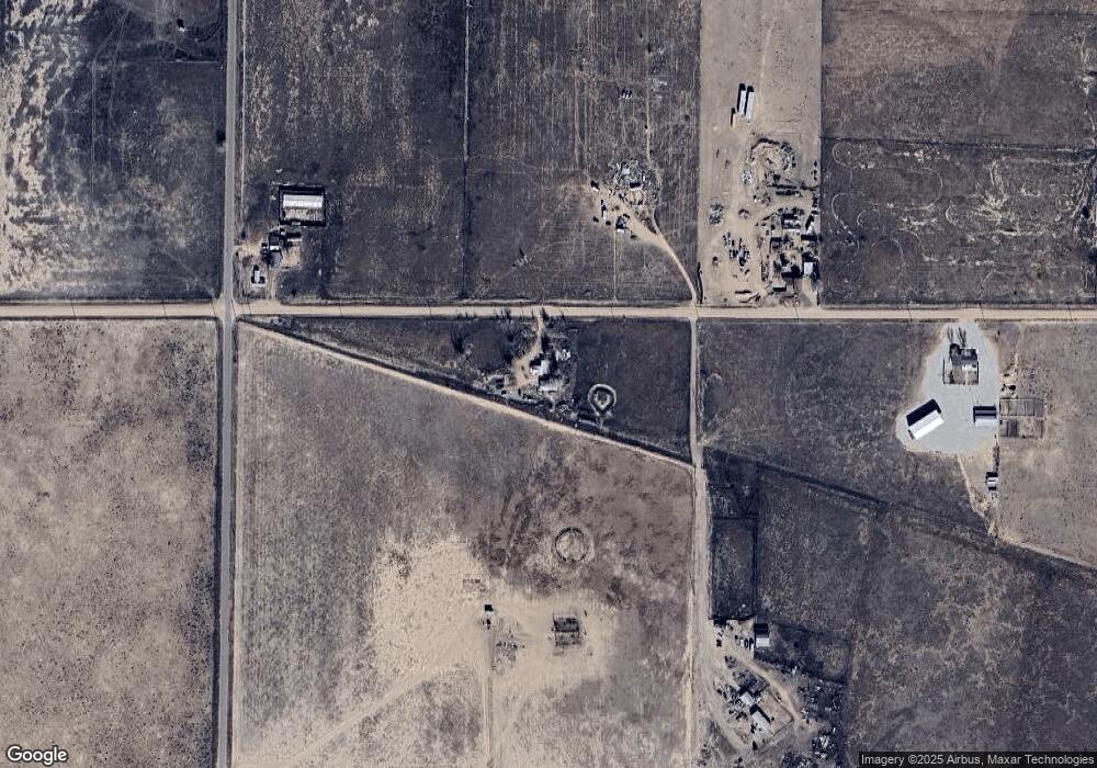
Map
Nearby Homes
- 2229 59th Ln
- 2797 59th Ln
- 225 I L Ranch Rd
- 203 N Boone Ave
- 225 Il Ranch Rd
- 207 Autobee Ln
- 47801 Pheasant Crest Rd
- 49300 E State Highway 96
- 601 North Ln
- 206 Lucille St
- 303 Leslie St
- 3417 Avondale Blvd
- 628 Avondale Blvd
- TBD E State Highway 96
- 65281 U S 50
- 52825 E Us Highway 50
- 65295 Us Highway 50
- TBD 44th Ln
- 2912 40th Ln
- 4960 44th Ln
- 0 Cherry Rd Unit 83370
- 0 Cherry Rd
- 58601 Cherry Ln
- 58311 Cherry Rd
- 58027 Cherry Rd
- 58300 Cherry Rd
- 58480 Cherry Rd
- 58501 Cherry Rd
- 2109 58th Ln
- 58601 Cherry Rd
- 2099 58th Ln
- TBD Cherry Rd
- 58400 Apple Rd
- 2408 58th Ln
- 58671 Cherry Rd
- 58390 Apple Rd
- 58691 Cherry Rd
- 1998 58th Ln
- 58764 E Us Highway 50
- 58764 E Us Highway 50