5821 E 400 N Markle, IN 46770
Estimated Value: $268,000 - $428,000
3
Beds
2
Baths
2,208
Sq Ft
$169/Sq Ft
Est. Value
About This Home
This home is located at 5821 E 400 N, Markle, IN 46770 and is currently estimated at $373,971, approximately $169 per square foot. 5821 E 400 N is a home located in Huntington County with nearby schools including Roanoke Elementary School, Crestview Middle School, and Huntington North High School.
Ownership History
Date
Name
Owned For
Owner Type
Purchase Details
Closed on
Jan 18, 2008
Sold by
Dennis Gerald and Dennis Bonnie Lou
Bought by
Richardson Donna J
Current Estimated Value
Home Financials for this Owner
Home Financials are based on the most recent Mortgage that was taken out on this home.
Original Mortgage
$32,250
Interest Rate
6.22%
Mortgage Type
Stand Alone Second
Create a Home Valuation Report for This Property
The Home Valuation Report is an in-depth analysis detailing your home's value as well as a comparison with similar homes in the area
Purchase History
| Date | Buyer | Sale Price | Title Company |
|---|---|---|---|
| Richardson Donna J | -- | None Available |
Source: Public Records
Mortgage History
| Date | Status | Borrower | Loan Amount |
|---|---|---|---|
| Closed | Richardson Donna J | $32,250 | |
| Open | Richardson Donna J | $172,000 |
Source: Public Records
Tax History
| Year | Tax Paid | Tax Assessment Tax Assessment Total Assessment is a certain percentage of the fair market value that is determined by local assessors to be the total taxable value of land and additions on the property. | Land | Improvement |
|---|---|---|---|---|
| 2024 | $2,766 | $341,100 | $54,400 | $286,700 |
| 2023 | $3,353 | $321,800 | $53,100 | $268,700 |
| 2022 | $2,947 | $298,400 | $51,600 | $246,800 |
| 2021 | $2,795 | $261,600 | $50,900 | $210,700 |
| 2020 | $2,574 | $236,500 | $50,900 | $185,600 |
| 2019 | $2,282 | $230,600 | $51,900 | $178,700 |
| 2018 | $2,325 | $225,700 | $47,000 | $178,700 |
| 2017 | $2,053 | $224,000 | $47,900 | $176,100 |
| 2016 | $1,792 | $222,700 | $48,300 | $174,400 |
| 2014 | $1,879 | $229,800 | $48,600 | $181,200 |
| 2013 | $1,879 | $225,200 | $47,600 | $177,600 |
Source: Public Records
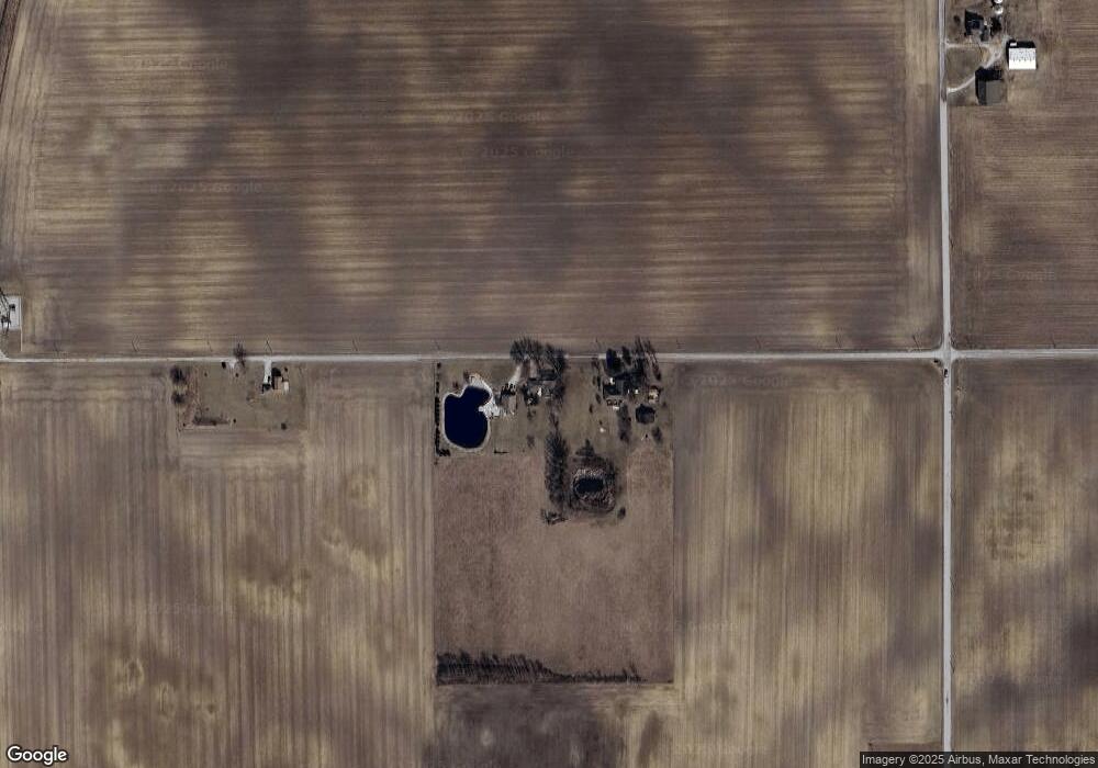
Map
Nearby Homes
- 5156 N Mayne Rd
- 11802 NW Smuts Dr
- TBD W 900 N
- 798 N 500 E
- 0 Ginger Rd
- 2975 E 630 N
- 17503 Wayne St
- TBD W Yoder Rd
- 11136 N 200 W
- 10930 Yoder Rd
- 13011 Hamilton Rd
- 1800 W 950 N-90
- 451 Cottonwood Ct
- 4565 E Station Rd
- 310 Cottonwood Ct
- 16902 Prine Rd
- 451 Rockwell Ave
- 602 Nancyk Crossing
- 416 Nordyk Dr
- TBD N 200 W
- 5881 E 400 N
- 5691 E 400 N
- 10167 N 600 W-90 Unit 90
- 4522 S 400 E
- 3768 N 600 E
- 5760 W 1000 N-90 Unit 90
- 4430 N 600 E
- 4496 W 600 N
- 4496 N 600 E
- 3480 N 600 E
- 5550 W 1000 N-90 Unit 90
- 4534 N 600 E
- 10588 N 600 W-90
- 10641 N 600 W-90
- 5402 W 1000 N-90 Unit 90
- 3276 N 600 E
- 10719 N 600 W-90 Unit 90
- 10767 N 600 W-90
- 4838 N 600 E
- 4210 N 500 E
Your Personal Tour Guide
Ask me questions while you tour the home.