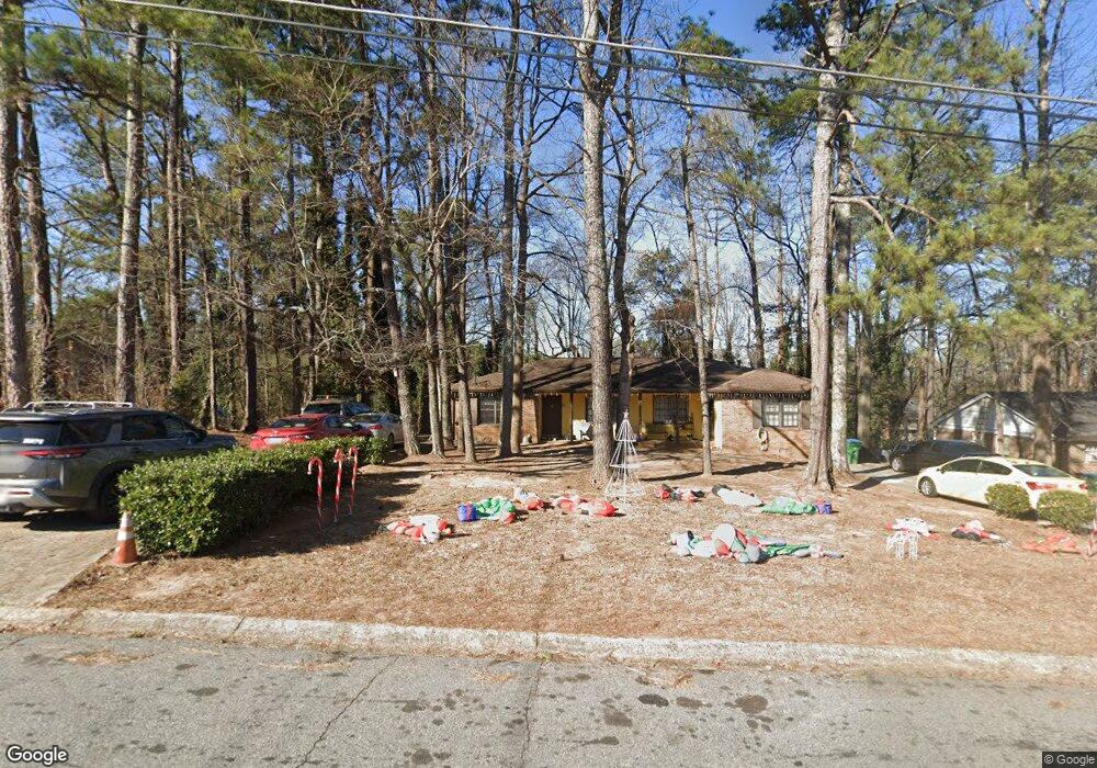
5821 Kay Dr Unit II Norcross, GA 30093
Estimated Value: $331,144 - $447,000
4
Beds
2
Baths
1,840
Sq Ft
$206/Sq Ft
Est. Value
About This Home
This home is located at 5821 Kay Dr Unit II, Norcross, GA 30093 and is currently estimated at $379,715, approximately $206 per square foot. 5821 Kay Dr Unit II is a home located in Gwinnett County with nearby schools including Meadowcreek Elementary School, Louise Radloff Middle School, and Meadowcreek High School.
Ownership History
Date
Name
Owned For
Owner Type
Purchase Details
Closed on
May 13, 2025
Sold by
Mateil Llc
Bought by
Washburn Elizabeth and Washburn Matthew
Current Estimated Value
Purchase Details
Closed on
Aug 27, 2022
Sold by
Kay Investments Llc
Bought by
Mateil Llc
Purchase Details
Closed on
Aug 22, 2014
Sold by
Vanfraser David
Bought by
Kay Investments Llc
Purchase Details
Closed on
Oct 1, 2001
Sold by
Ivebco Bldrs Inc
Bought by
Salley Frank
Purchase Details
Closed on
Aug 25, 2000
Sold by
Thomas William H
Bought by
Fraser Lowrie A and Fraser David V
Home Financials for this Owner
Home Financials are based on the most recent Mortgage that was taken out on this home.
Original Mortgage
$100,000
Interest Rate
8.11%
Create a Home Valuation Report for This Property
The Home Valuation Report is an in-depth analysis detailing your home's value as well as a comparison with similar homes in the area
Home Values in the Area
Average Home Value in this Area
Purchase History
| Date | Buyer | Sale Price | Title Company |
|---|---|---|---|
| Washburn Elizabeth | -- | -- | |
| Mateil Llc | -- | -- | |
| Kay Investments Llc | $79,000 | -- | |
| Salley Frank | -- | -- | |
| Fraser Lowrie A | $117,500 | -- |
Source: Public Records
Mortgage History
| Date | Status | Borrower | Loan Amount |
|---|---|---|---|
| Previous Owner | Fraser Lowrie A | $100,000 |
Source: Public Records
Tax History Compared to Growth
Tax History
| Year | Tax Paid | Tax Assessment Tax Assessment Total Assessment is a certain percentage of the fair market value that is determined by local assessors to be the total taxable value of land and additions on the property. | Land | Improvement |
|---|---|---|---|---|
| 2025 | $4,383 | $106,000 | $18,000 | $88,000 |
| 2024 | $4,420 | $114,640 | $18,000 | $96,640 |
| 2023 | $4,420 | $93,560 | $16,000 | $77,560 |
| 2022 | $3,891 | $93,560 | $16,000 | $77,560 |
| 2021 | $3,252 | $74,920 | $16,000 | $58,920 |
| 2020 | $2,636 | $57,600 | $13,600 | $44,000 |
| 2019 | $2,552 | $57,600 | $13,600 | $44,000 |
| 2018 | $2,235 | $57,600 | $13,600 | $44,000 |
| 2016 | $2,274 | $48,960 | $11,200 | $37,760 |
| 2015 | $1,743 | $33,280 | $8,800 | $24,480 |
| 2014 | -- | $33,280 | $8,800 | $24,480 |
Source: Public Records
Map
Nearby Homes
- 1665 Oakbrook Lake Dr
- 5719 Singlebriar Ct
- 5590 Stonewood Ct
- 1353 Harbins Ridge Dr Unit 36
- 1258 Roman Point Dr
- 1637 Roman Point Dr
- 5665 Terremont Cir
- 1437 Roman Point Dr
- 936 Six Oaks Cir Unit B
- 897 Six Oaks Cir Unit B
- 5605 Rock Place Ct
- 5670 Hollow Ridge Ln
- 1281 Rockfield Cir
- 1461 Silver Lake Dr
- 5775 Dekalb Ln
- 1415 Commercial Ct
- 1413 Silver Lake Dr
- 5341 Woodbin Dr
- 5952 Robin Hood Ln
- 1002 Rockbridge Rd
- 5831 Kay Dr Unit 2
- 5831 Kay Dr
- 5831 Kay Dr NW
- 1538 Eason Ct Unit 2
- 5811 Kay Dr Unit 2
- 5839 Kay Dr
- 5812 Kay Dr
- 5801 Kay Dr Unit 2
- 5801 Kay Dr
- 1528 Eason Ct
- 5832 Kay Dr
- 5802 Kay Dr
- 5802 Kay Dr Unit 2
- 5841 Kay Dr
- 5791 Kay Dr
- 1529 Eason Ct
- 1518 Eason Ct Unit A & B
- 1518 Eason Ct
- 1519 Eason Ct
- 1515 Pirkle Rd Unit 2