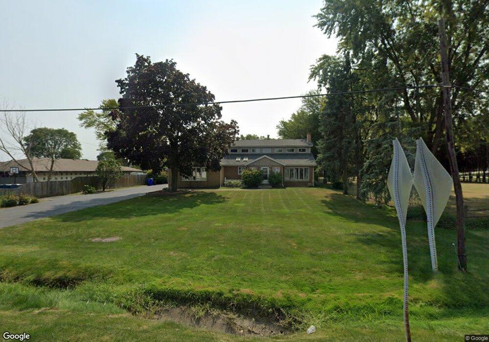
5821 W 127th St Palos Heights, IL 60463
Westgate Valley NeighborhoodEstimated Value: $511,910 - $539,000
4
Beds
4
Baths
2,489
Sq Ft
$209/Sq Ft
Est. Value
About This Home
This home is located at 5821 W 127th St, Palos Heights, IL 60463 and is currently estimated at $520,978, approximately $209 per square foot. 5821 W 127th St is a home located in Cook County with nearby schools including Chippewa Elementary School, Navajo Heights Elementary School, and Independence Jr High School.
Ownership History
Date
Name
Owned For
Owner Type
Purchase Details
Closed on
Jun 30, 2023
Sold by
Lakickas Lynn
Bought by
Baudo Salvatore
Current Estimated Value
Home Financials for this Owner
Home Financials are based on the most recent Mortgage that was taken out on this home.
Original Mortgage
$152,000
Outstanding Balance
$136,565
Interest Rate
5.13%
Mortgage Type
New Conventional
Estimated Equity
$384,413
Purchase Details
Closed on
Mar 6, 1998
Sold by
Lakickas Edward W
Bought by
Lakickas Edward W and Lakickas Lynn
Home Financials for this Owner
Home Financials are based on the most recent Mortgage that was taken out on this home.
Original Mortgage
$175,000
Interest Rate
7.23%
Purchase Details
Closed on
Oct 10, 1994
Sold by
Lakickas Sophia
Bought by
Lakickas Edward W
Create a Home Valuation Report for This Property
The Home Valuation Report is an in-depth analysis detailing your home's value as well as a comparison with similar homes in the area
Home Values in the Area
Average Home Value in this Area
Purchase History
| Date | Buyer | Sale Price | Title Company |
|---|---|---|---|
| Baudo Salvatore | $160,000 | None Listed On Document | |
| Lakickas Edward W | -- | Chicago Title Insurance Co | |
| Lakickas Edward W | -- | -- |
Source: Public Records
Mortgage History
| Date | Status | Borrower | Loan Amount |
|---|---|---|---|
| Open | Baudo Salvatore | $152,000 | |
| Previous Owner | Lakickas Edward W | $175,000 |
Source: Public Records
Tax History Compared to Growth
Tax History
| Year | Tax Paid | Tax Assessment Tax Assessment Total Assessment is a certain percentage of the fair market value that is determined by local assessors to be the total taxable value of land and additions on the property. | Land | Improvement |
|---|---|---|---|---|
| 2024 | $9,409 | $38,001 | $12,563 | $25,438 |
| 2023 | $7,922 | $38,001 | $12,563 | $25,438 |
| 2022 | $7,922 | $26,873 | $4,523 | $22,350 |
| 2021 | $7,552 | $26,872 | $4,522 | $22,350 |
| 2020 | $7,457 | $26,872 | $4,522 | $22,350 |
| 2019 | $7,839 | $28,624 | $4,020 | $24,604 |
| 2018 | $7,415 | $28,624 | $4,020 | $24,604 |
| 2017 | $5,905 | $28,624 | $4,020 | $24,604 |
| 2016 | $5,934 | $21,595 | $3,015 | $18,580 |
| 2015 | $4,617 | $21,595 | $3,015 | $18,580 |
| 2014 | $4,560 | $21,595 | $3,015 | $18,580 |
| 2013 | $5,181 | $25,522 | $3,015 | $22,507 |
Source: Public Records
Map
Nearby Homes
- 9208 S Monitor Ave
- 12557 S Mason Ave
- 5715 Park Place Unit J2
- 5715 Park Place Unit K1
- 5712 128th St Unit 1A
- 12732 S Austin Ave
- 5704 W 128th St Unit 1C
- 12750 Carriage Ln Unit F2
- 12655 S Parkside Ave
- 12649 S Parkside Ave
- 12613 S Parkside Ave
- 12513 S Mcvickers Ave
- 6052 W 128th St
- 12620 S Alpine Dr Unit 6
- 12620 S Alpine Dr Unit 4
- 12620 S Alpine Dr Unit 8
- 5844 W 124th St
- 5544 W Cal Sag Rd
- 12857 S Austin Ave
- 13008 S Meade Ave
- 5811 W 127th St
- 12727 S Monitor Ave
- 12703 S Hill Dr St
- 12703 Hill Dr
- 12730 S Menard Ave
- 5816 W 127th St
- 5806 W 127th St
- 5822 W 127th St
- 5835 W 127th St
- 5835 W 127th St
- 5828 W 127th St
- 5834 W 127th St
- 12648 S Menard Ave
- 12728 S Monitor Ave
- 12728 S Monitor Ave
- 12735 S Monitor Ave
- 5840 W 127th St
- 12641 S Mansfield St
- 12732 S Monitor Ave
- 12642 S Menard Ave