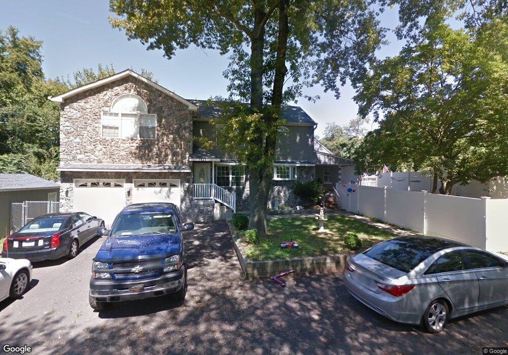
5821 Watson Ave Bristol, PA 19007
Estimated Value: $339,000 - $475,000
4
Beds
2
Baths
1,786
Sq Ft
$218/Sq Ft
Est. Value
About This Home
This home is located at 5821 Watson Ave, Bristol, PA 19007 and is currently estimated at $390,022, approximately $218 per square foot. 5821 Watson Ave is a home located in Bucks County with nearby schools including Truman Senior High School, First Presbyterian Church School, and St. Mark Elementary School.
Ownership History
Date
Name
Owned For
Owner Type
Purchase Details
Closed on
Jan 10, 2014
Sold by
Enger Faith A and Rumsey Robert
Bought by
Rumsey Robert
Current Estimated Value
Purchase Details
Closed on
Apr 19, 2004
Sold by
Mason David M and Enger Faith A
Bought by
Enger Faith A and Rumsey Robert
Purchase Details
Closed on
Nov 8, 1994
Sold by
Hud
Bought by
Mason David M and Enger Faith A
Home Financials for this Owner
Home Financials are based on the most recent Mortgage that was taken out on this home.
Original Mortgage
$72,597
Interest Rate
8.78%
Mortgage Type
FHA
Purchase Details
Closed on
Aug 11, 1994
Sold by
Citicorp Mtg Inc
Bought by
Hud
Create a Home Valuation Report for This Property
The Home Valuation Report is an in-depth analysis detailing your home's value as well as a comparison with similar homes in the area
Home Values in the Area
Average Home Value in this Area
Purchase History
| Date | Buyer | Sale Price | Title Company |
|---|---|---|---|
| Rumsey Robert | -- | None Available | |
| Enger Faith A | $54,283 | -- | |
| Mason David M | $75,000 | -- | |
| Mason David M | $75,000 | Lawyers Title Insurance Corp | |
| Hud | -- | -- |
Source: Public Records
Mortgage History
| Date | Status | Borrower | Loan Amount |
|---|---|---|---|
| Previous Owner | Mason David M | $72,597 |
Source: Public Records
Tax History Compared to Growth
Tax History
| Year | Tax Paid | Tax Assessment Tax Assessment Total Assessment is a certain percentage of the fair market value that is determined by local assessors to be the total taxable value of land and additions on the property. | Land | Improvement |
|---|---|---|---|---|
| 2025 | $6,941 | $25,560 | $2,800 | $22,760 |
| 2024 | $6,941 | $25,560 | $2,800 | $22,760 |
| 2023 | $6,890 | $25,560 | $2,800 | $22,760 |
| 2022 | $6,890 | $25,560 | $2,800 | $22,760 |
| 2021 | $6,890 | $25,560 | $2,800 | $22,760 |
| 2020 | $6,890 | $25,560 | $2,800 | $22,760 |
| 2019 | $6,865 | $25,560 | $2,800 | $22,760 |
| 2018 | $6,754 | $25,560 | $2,800 | $22,760 |
| 2017 | $6,652 | $25,560 | $2,800 | $22,760 |
| 2016 | $6,652 | $25,560 | $2,800 | $22,760 |
| 2015 | $4,884 | $25,560 | $2,800 | $22,760 |
| 2014 | $4,884 | $25,560 | $2,800 | $22,760 |
Source: Public Records
Map
Nearby Homes
- 5 Green Ln
- 1201 Pacific Ave
- 5617 Beaver Dam Rd
- 5605 Toga St
- 5517 Schumacher Dr
- 1515 Lakeland Ave
- 5604 Fleetwing Dr
- 314 Railroad Ave
- 2205 Liberator St
- 5711 Mustang St
- 61 Green Ln
- 6419 Radcliffe St
- 221 Cleveland St
- 2296 Seabird Dr Unit 1
- 243 Monroe St
- 55 Cedar Ln
- 35 Cedar Ln
- 86 Cedar Ln
- 2285 Seabird Dr Unit 14
- 7105 N Radcliffe St