5823 Ashby Ct Milford, OH 45150
Estimated Value: $169,803 - $188,000
--
Bed
--
Bath
--
Sq Ft
261
Sq Ft Lot
About This Home
This home is located at 5823 Ashby Ct, Milford, OH 45150 and is currently estimated at $178,451. 5823 Ashby Ct is a home located in Clermont County with nearby schools including Milford Senior High School, St. Andrew - St. Elizabeth Ann Seton School, and St. Mark's Lutheran School.
Ownership History
Date
Name
Owned For
Owner Type
Purchase Details
Closed on
May 4, 2001
Sold by
Sievers Mary T
Bought by
Maynard Ruth A
Current Estimated Value
Home Financials for this Owner
Home Financials are based on the most recent Mortgage that was taken out on this home.
Original Mortgage
$76,245
Outstanding Balance
$28,301
Interest Rate
6.95%
Mortgage Type
FHA
Estimated Equity
$150,150
Purchase Details
Closed on
Jun 21, 1993
Purchase Details
Closed on
Mar 2, 1984
Create a Home Valuation Report for This Property
The Home Valuation Report is an in-depth analysis detailing your home's value as well as a comparison with similar homes in the area
Home Values in the Area
Average Home Value in this Area
Purchase History
| Date | Buyer | Sale Price | Title Company |
|---|---|---|---|
| Maynard Ruth A | $78,000 | -- | |
| -- | $63,900 | -- | |
| -- | $51,000 | -- |
Source: Public Records
Mortgage History
| Date | Status | Borrower | Loan Amount |
|---|---|---|---|
| Open | Maynard Ruth A | $76,245 |
Source: Public Records
Tax History Compared to Growth
Tax History
| Year | Tax Paid | Tax Assessment Tax Assessment Total Assessment is a certain percentage of the fair market value that is determined by local assessors to be the total taxable value of land and additions on the property. | Land | Improvement |
|---|---|---|---|---|
| 2024 | $54 | $1,160 | $350 | $810 |
| 2023 | $55 | $1,160 | $350 | $810 |
| 2022 | $66 | $1,060 | $250 | $810 |
| 2021 | $66 | $1,060 | $250 | $810 |
| 2020 | $63 | $1,060 | $250 | $810 |
| 2019 | $108 | $1,720 | $250 | $1,470 |
| 2018 | $108 | $1,720 | $250 | $1,470 |
| 2017 | $105 | $1,720 | $250 | $1,470 |
| 2016 | $106 | $1,540 | $210 | $1,330 |
| 2015 | $104 | $1,540 | $210 | $1,330 |
| 2014 | $99 | $1,540 | $210 | $1,330 |
| 2013 | $89 | $1,340 | $180 | $1,160 |
Source: Public Records
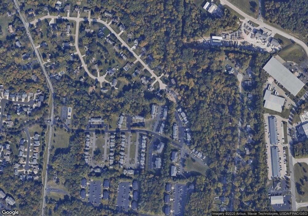
Map
Nearby Homes
- 1010 Newberry Ave
- 977 Newberry Ave
- 957 Tarragon Ln
- 5897 Cook Rd
- 1706 Cottontail Dr
- 5612 Flagstone Way
- 1007 Valley View Dr
- 2403 Traverse Creek Dr
- 5884 Stonebridge Cir
- 1139 Willowwood Dr
- 5880 Stonebridge Cir
- 1093 Broadview Place
- 1201 Sorrel Ln
- 5942 Pinto Place
- 772 Price Knoll Ln
- 6211 Cook Rd
- 1113 Clover Field Dr
- 6077 Branch Hill Guinea Pike
- 5975 Buckwheat Rd
- 5702 Sherwood Dr
- 5825 Ashby Ct
- 5823 Ashby Ct
- 5821 Ashby Ct Unit 22
- 5819 Ashby Ct Unit 21
- 5817 Ashby Ct Unit G11
- 5817 Ashby Ct Unit G11
- 5817 Ashby Ct
- 5815 Ashby Ct
- 5815 Ashby Ct
- 1695 Wilderness Ridge Rd
- 1695 Wilderness Ridge Dr
- 5826 Ashby Ct
- 5826 Ashby Ct
- 5824 Ashby Ct
- 5824 Ashby Ct Unit 26
- 5822 Ashby Ct
- 5822 Ashby Ct
- 5818 Ashby Ct
- 5811 Lockwood Commons St
- 5813 Lockwood Commons St Unit 18