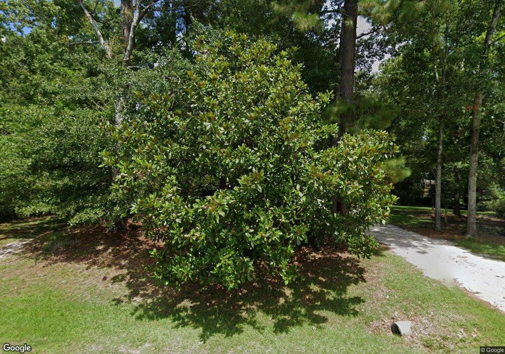
5826 McDougald Dr Castle Hayne, NC 28429
Estimated Value: $347,000 - $414,000
3
Beds
3
Baths
1,564
Sq Ft
$248/Sq Ft
Est. Value
About This Home
This home is located at 5826 McDougald Dr, Castle Hayne, NC 28429 and is currently estimated at $387,485, approximately $247 per square foot. 5826 McDougald Dr is a home located in New Hanover County with nearby schools including Castle Hayne Elementary School, Holly Shelter Middle School, and Emsley A. Laney High School.
Ownership History
Date
Name
Owned For
Owner Type
Purchase Details
Closed on
Jun 7, 2002
Sold by
Clinton Jean Marie
Bought by
Pare David Gregory Robin R
Current Estimated Value
Purchase Details
Closed on
Aug 11, 1997
Sold by
Penland Joe Carl
Bought by
Penland Joe Carl Hrs
Purchase Details
Closed on
May 23, 1997
Sold by
Penland Jeanie M
Bought by
Penland Joe Carl
Purchase Details
Closed on
Apr 1, 1987
Sold by
Sanco Of Wilm Corp
Bought by
Penland Joe C Jeanie M
Purchase Details
Closed on
Oct 1, 1986
Sold by
Sanders Nathan S Judia B
Bought by
Sanco Of Wilm Corp
Purchase Details
Closed on
Dec 1, 1985
Sold by
Landmark Properties
Bought by
Sanders Nathan S Judia B
Purchase Details
Closed on
Sep 1, 1985
Sold by
Suggs & Harrelson Inc
Bought by
Landmark Properties
Purchase Details
Closed on
Dec 1, 1980
Bought by
Suggs & Harrelson Inc
Create a Home Valuation Report for This Property
The Home Valuation Report is an in-depth analysis detailing your home's value as well as a comparison with similar homes in the area
Home Values in the Area
Average Home Value in this Area
Purchase History
| Date | Buyer | Sale Price | Title Company |
|---|---|---|---|
| Pare David Gregory Robin R | $143,000 | -- | |
| Penland Joe Carl Hrs | -- | -- | |
| Clinton Jean Marie | $112,000 | -- | |
| Penland Joe Carl | -- | -- | |
| Penland Joe C Jeanie M | $78,500 | -- | |
| Sanco Of Wilm Corp | $10,000 | -- | |
| Sanders Nathan S Judia B | $103,000 | -- | |
| Landmark Properties | -- | -- | |
| Landmark Properties | -- | -- | |
| Suggs & Harrelson Inc | $80,000 | -- |
Source: Public Records
Tax History Compared to Growth
Tax History
| Year | Tax Paid | Tax Assessment Tax Assessment Total Assessment is a certain percentage of the fair market value that is determined by local assessors to be the total taxable value of land and additions on the property. | Land | Improvement |
|---|---|---|---|---|
| 2024 | $1,408 | $255,400 | $80,500 | $174,900 |
| 2023 | $1,402 | $255,400 | $80,500 | $174,900 |
| 2022 | $1,415 | $255,400 | $80,500 | $174,900 |
| 2021 | $1,410 | $255,400 | $80,500 | $174,900 |
| 2020 | $1,120 | $177,000 | $51,900 | $125,100 |
| 2019 | $1,120 | $177,000 | $51,900 | $125,100 |
| 2018 | $1,120 | $177,000 | $51,900 | $125,100 |
| 2017 | $1,146 | $177,000 | $51,900 | $125,100 |
| 2016 | $1,091 | $157,500 | $51,900 | $105,600 |
| 2015 | $1,014 | $157,500 | $51,900 | $105,600 |
| 2014 | $997 | $157,500 | $51,900 | $105,600 |
Source: Public Records
Map
Nearby Homes
- 119 McDougald Dr
- 4121 Castle Hayne Rd
- 129 Brookgreen Rd
- 112 Bavarian Dr
- 3830 Sondey Rd
- 5011 Marathon Landing Ct
- 3451 Marathon Ave
- 697 Jenoa Loop
- 3522 Emerson Dr
- 656 Jenoa Dr
- 3612 Excelsior Ln
- 3541 Sylvester Rd Unit PT16
- 3524 Castle Hayne Rd
- 3506 Dutton Dr
- 3921 Marathon Ave
- 409 Old Forest
- 424 Burgee Ct
- 3605 Rosewood Landing Dr
- 3500 Dutton Dr
- 410 Old Forest
- 124 McDougald Dr
- 5900 McDougald Dr
- 5820 McDougald Dr
- 5904 McDougald Dr
- 5901 McDougald Dr
- 5827 McDougald Dr
- 5823 McDougald Dr
- 5906 McDougald Dr
- 5905 McDougald Dr
- 5814 McDougald Dr
- 5819 McDougald Dr
- 5907 McDougald Dr
- 2805 Dirck Rd
- 2804 Dirck Rd
- 5909 McDougald Dr
- 5810 McDougald Dr
- 5828 Dekker Rd
- 2800 Dirck Rd
- 5908 Dekker Rd
- 5826 Dekker Rd
