Studio
3
Baths
4,198
Sq Ft
38,028
Sq Ft Lot
About This Home
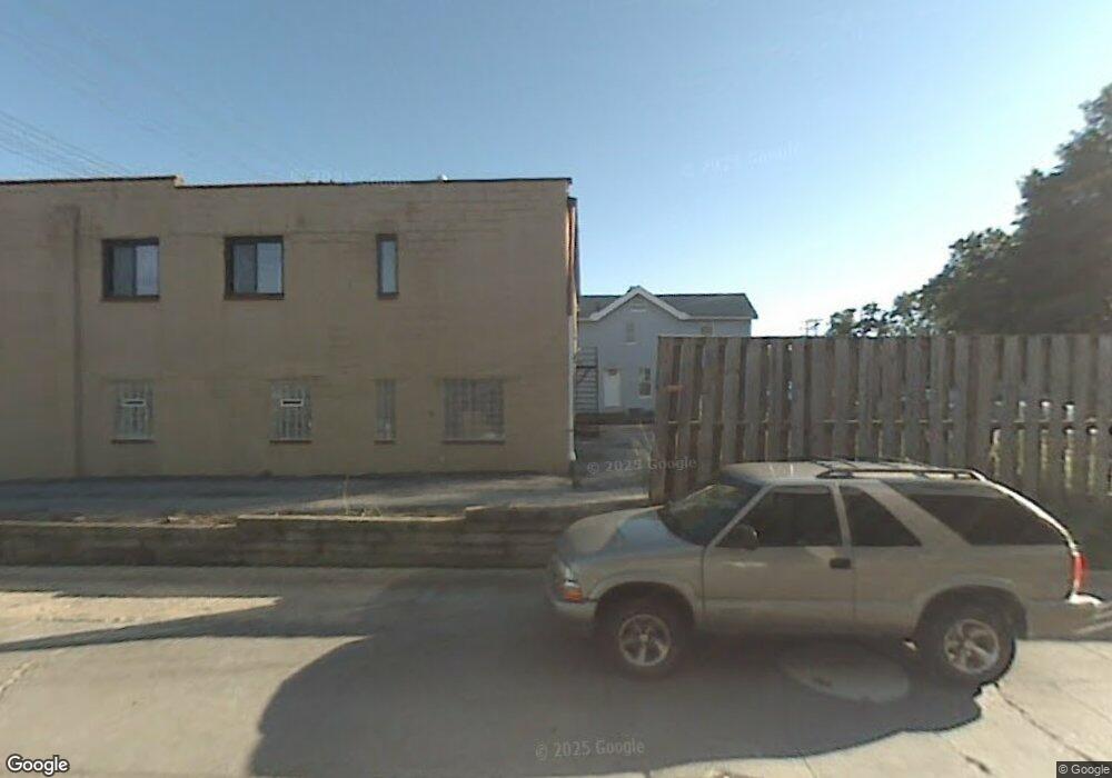
This home is located at 5826 State Rd, Parma, OH 44134. 5826 State Rd is a home located in Cuyahoga County with nearby schools including John Muir Elementary School, Shiloh Middle School, and Normandy High School.
Ownership History
Date
Name
Owned For
Owner Type
Purchase Details
Closed on
Oct 28, 2010
Sold by
E N D Properties Llc
Bought by
Speedway Superamerica Llc
Purchase Details
Closed on
Jun 29, 2005
Sold by
Tomasko Margaret
Bought by
E N D Properties Llc
Home Financials for this Owner
Home Financials are based on the most recent Mortgage that was taken out on this home.
Original Mortgage
$155,000
Interest Rate
5.86%
Mortgage Type
Commercial
Purchase Details
Closed on
Aug 29, 1988
Sold by
Farina Richard W
Bought by
Tomasko Margaret
Purchase Details
Closed on
Dec 26, 1984
Sold by
Slyman George J
Bought by
Farina Richard W
Purchase Details
Closed on
Apr 21, 1977
Sold by
Slyman Joseph G
Bought by
Slyman George J
Purchase Details
Closed on
Jan 1, 1975
Bought by
Slyman Joseph G
Create a Home Valuation Report for This Property
The Home Valuation Report is an in-depth analysis detailing your home's value as well as a comparison with similar homes in the area
Home Values in the Area
Average Home Value in this Area
Purchase History
| Date | Buyer | Sale Price | Title Company |
|---|---|---|---|
| Speedway Superamerica Llc | $325,000 | Fidelity Land Title | |
| E N D Properties Llc | $265,000 | Chicago Title Insurance C | |
| Tomasko Margaret | $116,500 | -- | |
| Farina Richard W | $95,000 | -- | |
| Slyman George J | $110,000 | -- | |
| Slyman Joseph G | -- | -- |
Source: Public Records
Mortgage History
| Date | Status | Borrower | Loan Amount |
|---|---|---|---|
| Previous Owner | E N D Properties Llc | $155,000 | |
| Closed | E N D Properties Llc | $124,000 |
Source: Public Records
Tax History
| Year | Tax Paid | Tax Assessment Tax Assessment Total Assessment is a certain percentage of the fair market value that is determined by local assessors to be the total taxable value of land and additions on the property. | Land | Improvement |
|---|---|---|---|---|
| 2025 | $30,806 | $405,020 | $183,645 | $221,375 |
| 2024 | $32,466 | $405,020 | $183,645 | $221,375 |
| 2023 | $32,563 | $389,970 | $196,490 | $193,480 |
| 2022 | $32,480 | $389,970 | $196,490 | $193,480 |
| 2021 | $33,640 | $389,970 | $196,490 | $193,480 |
Source: Public Records
Map
Nearby Homes
- 4011 Liggett Dr
- 4115 Sheraton Dr
- 3406 Marioncliff Dr
- 3214 Liggett Dr
- 3303 Ingleside Dr
- 3109 George Ave
- 4312 Kenmore Ave
- 4515 Albertly Ave
- 3202 Parklane Dr
- 3407 Wellington Ave
- 3006 Torrington Ave
- 5107 Krueger Ave
- 3716 Grantwood Dr
- 3407 Grovewood Ave
- 5432 State Rd
- 3326 Grovewood Ave
- 4809 Wellington Ave
- 5212 Wood Ave
- 3810 Lincoln Ave
- 5916 W 54th St
Your Personal Tour Guide
Ask me questions while you tour the home.