5827 Kings Pointe Dr Rochester, MI 48306
Estimated Value: $914,105 - $1,224,000
4
Beds
5
Baths
4,034
Sq Ft
$264/Sq Ft
Est. Value
About This Home
This home is located at 5827 Kings Pointe Dr, Rochester, MI 48306 and is currently estimated at $1,063,026, approximately $263 per square foot. 5827 Kings Pointe Dr is a home located in Oakland County with nearby schools including Musson Elementary School, Van Hoosen Middle School, and Rochester Adams High School.
Ownership History
Date
Name
Owned For
Owner Type
Purchase Details
Closed on
Jul 15, 1999
Sold by
Najdecki William C
Bought by
French David G
Current Estimated Value
Home Financials for this Owner
Home Financials are based on the most recent Mortgage that was taken out on this home.
Original Mortgage
$240,000
Outstanding Balance
$67,970
Interest Rate
7.7%
Estimated Equity
$995,056
Create a Home Valuation Report for This Property
The Home Valuation Report is an in-depth analysis detailing your home's value as well as a comparison with similar homes in the area
Home Values in the Area
Average Home Value in this Area
Purchase History
| Date | Buyer | Sale Price | Title Company |
|---|---|---|---|
| French David G | -- | -- |
Source: Public Records
Mortgage History
| Date | Status | Borrower | Loan Amount |
|---|---|---|---|
| Open | French David G | $240,000 |
Source: Public Records
Tax History Compared to Growth
Tax History
| Year | Tax Paid | Tax Assessment Tax Assessment Total Assessment is a certain percentage of the fair market value that is determined by local assessors to be the total taxable value of land and additions on the property. | Land | Improvement |
|---|---|---|---|---|
| 2024 | $4,726 | $389,060 | $0 | $0 |
| 2023 | $4,544 | $348,780 | $0 | $0 |
| 2022 | $6,740 | $313,120 | $0 | $0 |
| 2021 | $6,294 | $311,170 | $0 | $0 |
| 2020 | $4,390 | $309,330 | $0 | $0 |
| 2019 | $6,674 | $301,370 | $0 | $0 |
| 2018 | $6,720 | $291,910 | $0 | $0 |
| 2017 | $6,551 | $285,850 | $0 | $0 |
| 2016 | $6,561 | $284,170 | $0 | $0 |
| 2015 | -- | $283,010 | $0 | $0 |
| 2014 | -- | $257,880 | $0 | $0 |
| 2011 | -- | $235,170 | $0 | $0 |
Source: Public Records
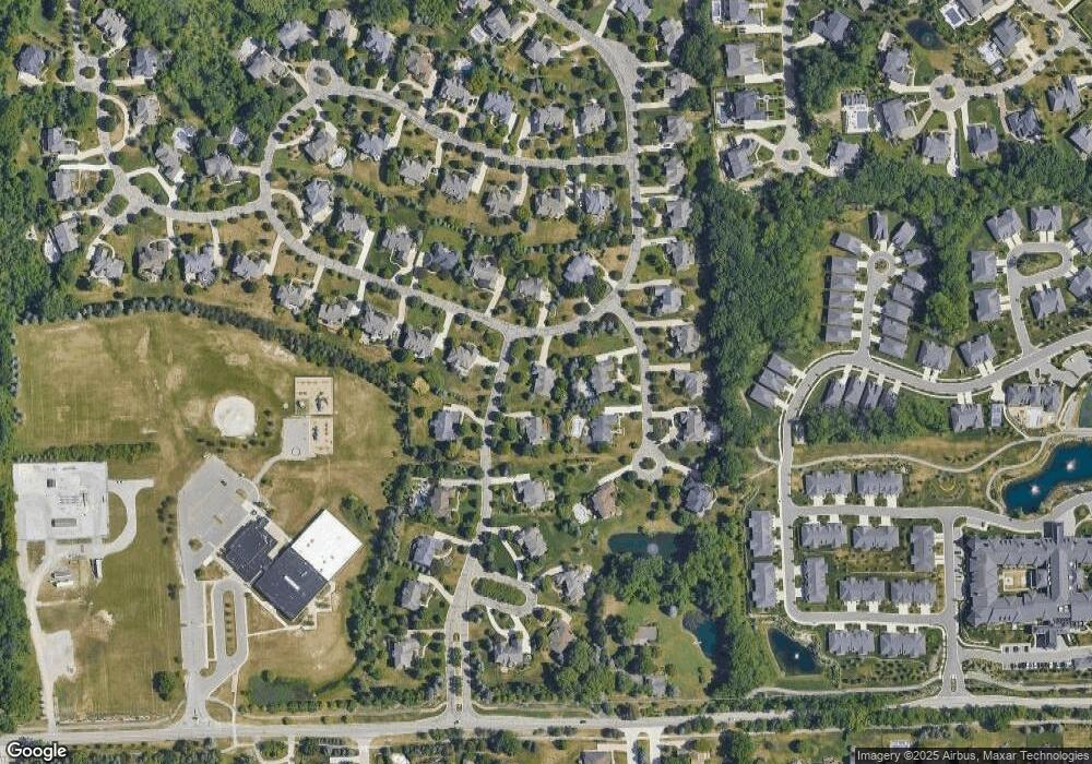
Map
Nearby Homes
- 1906 Independence Ct
- 3185 Saint James Ct
- 5826 Murfield Dr
- 5700 Rolling Hills Dr
- 5724 Murfield Dr
- 3273 Salem Dr
- 2821 Addison Cir S
- 3674 Merriweather Ln
- 3582 Tremonte Cir S Unit 276
- 3577 Oakmonte Blvd
- 3574 Oakmonte Blvd
- 2935 Woodford Cir
- 1609 Kilburn Rd N
- 2879 Hastings Ct Unit 73
- 5043 Belmonte Dr Unit 65
- 2750 Castlemartin Ct Unit 22
- 2794 Castlemartin Ct
- 3633 Thornwood Dr
- 3961 Ridgemonte Ct
- 5350 Brewster Rd
- 5849 Kings Pointe Dr
- 5826 Pine Aire Ct
- 5860 Pine Aire Ct
- 5731 Kirkridge Trail
- 5726 Kirkridge Trail
- 5873 Kings Pointe Dr
- 5850 Kings Pointe Dr
- 5706 Kirkridge Trail
- 5734 Kirkridge Trail
- 5739 Kirkridge Trail
- 3240 Blossom Ridge Blvd
- 5896 Pine Aire Ct
- 5845 Pine Aire Ct
- 5821 Pine Aire Ct
- 5880 Kings Pointe Dr
- 5705 Kirkridge Trail
- 5744 Kirkridge Trail
- 5871 Pine Aire Ct
- 3368 Saint George Ct
- 3353 Vineyard Hill Dr