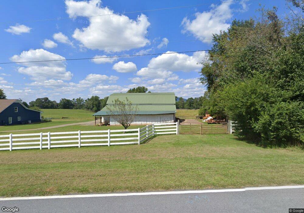
5829 Steve Black Rd Clermont, GA 30527
Estimated Value: $534,000 - $1,114,887
4
Beds
4
Baths
3,484
Sq Ft
$236/Sq Ft
Est. Value
About This Home
This home is located at 5829 Steve Black Rd, Clermont, GA 30527 and is currently estimated at $820,972, approximately $235 per square foot. 5829 Steve Black Rd is a home located in Hall County with nearby schools including Wauka Mountain Elementary School, North Hall Middle School, and North Hall High School.
Ownership History
Date
Name
Owned For
Owner Type
Purchase Details
Closed on
Nov 28, 2018
Sold by
Waldrip Colleen Kelly
Bought by
Meek Wesley G and Meek Carly D
Current Estimated Value
Home Financials for this Owner
Home Financials are based on the most recent Mortgage that was taken out on this home.
Original Mortgage
$227,000
Outstanding Balance
$198,379
Interest Rate
4.8%
Mortgage Type
New Conventional
Estimated Equity
$622,593
Purchase Details
Closed on
Sep 26, 2008
Sold by
Waldrip Lee R Living Trust
Bought by
Waldrip Colleen K
Home Financials for this Owner
Home Financials are based on the most recent Mortgage that was taken out on this home.
Original Mortgage
$500,000
Interest Rate
6.34%
Purchase Details
Closed on
Nov 18, 2002
Sold by
Waldrip Lee
Bought by
Lee R Waldrip Living Trust
Purchase Details
Closed on
Dec 1, 1995
Create a Home Valuation Report for This Property
The Home Valuation Report is an in-depth analysis detailing your home's value as well as a comparison with similar homes in the area
Home Values in the Area
Average Home Value in this Area
Purchase History
| Date | Buyer | Sale Price | Title Company |
|---|---|---|---|
| Meek Wesley G | $400,000 | -- | |
| Waldrip Colleen K | -- | -- | |
| Lee R Waldrip Living Trust | -- | -- | |
| -- | $73,000 | -- |
Source: Public Records
Mortgage History
| Date | Status | Borrower | Loan Amount |
|---|---|---|---|
| Open | Meek Wesley G | $227,000 | |
| Previous Owner | Waldrip Colleen K | $500,000 |
Source: Public Records
Tax History Compared to Growth
Tax History
| Year | Tax Paid | Tax Assessment Tax Assessment Total Assessment is a certain percentage of the fair market value that is determined by local assessors to be the total taxable value of land and additions on the property. | Land | Improvement |
|---|---|---|---|---|
| 2024 | $5,572 | $381,108 | $179,320 | $201,788 |
| 2023 | $5,125 | $346,184 | $143,440 | $202,744 |
| 2022 | $4,715 | $286,012 | $121,360 | $164,652 |
| 2021 | $3,885 | $230,960 | $99,280 | $131,680 |
| 2020 | $4,397 | $256,160 | $110,360 | $145,800 |
| 2019 | $3,209 | $248,562 | $110,360 | $138,202 |
| 2018 | $3,082 | $201,310 | $110,360 | $90,950 |
| 2017 | $3,044 | $201,310 | $110,360 | $90,950 |
| 2016 | $949 | $100,030 | $9,080 | $90,950 |
| 2015 | $948 | $100,030 | $9,080 | $90,950 |
| 2014 | $948 | $100,030 | $9,080 | $90,950 |
Source: Public Records
Map
Nearby Homes
- 5836 Steve Black Rd
- 5589 Clarks Bridge Rd
- 5820 Steve Black Rd
- 5581 Clarks Bridge Rd
- 5603 Clarks Bridge Rd
- 5603 Clarks Bridge Rd
- 5582 Clarks Bridge Rd
- 5600 Clarks Bridge Rd
- 5588 Tom Maynard Rd
- 5573 Clarks Bridge Rd
- 5608 Clarks Bridge Rd Unit 5555
- 5617 Clarks Bridge Rd
- T Tom Maynard Rd
- 5580 Tom Maynard Rd
- 5618 Clarks Bridge Rd Unit 55
- 5565 Clarks Bridge Rd
- 5572 Tom Maynard Rd
- 5731 Steve Black Rd
- 5558 Clarks Bridge Rd
- 5564 Tom Maynard Rd