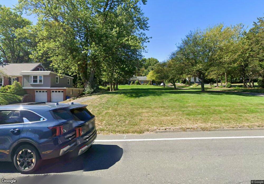
583 Birnie Ave West Springfield, MA 01089
Estimated Value: $609,000 - $694,000
3
Beds
3
Baths
2,564
Sq Ft
$249/Sq Ft
Est. Value
About This Home
This home is located at 583 Birnie Ave, West Springfield, MA 01089 and is currently estimated at $638,589, approximately $249 per square foot. 583 Birnie Ave is a home located in Hampden County with nearby schools including West Springfield High School and Holyoke Community Charter School.
Ownership History
Date
Name
Owned For
Owner Type
Purchase Details
Closed on
Feb 5, 2010
Sold by
G&P Ft and Bshara Gina I
Bought by
Loring David L and Loring Marjorie A
Current Estimated Value
Home Financials for this Owner
Home Financials are based on the most recent Mortgage that was taken out on this home.
Original Mortgage
$256,000
Outstanding Balance
$169,598
Interest Rate
5.05%
Mortgage Type
Purchase Money Mortgage
Estimated Equity
$468,991
Purchase Details
Closed on
Feb 9, 2009
Sold by
Bshara Gina I and Bshara Paul M
Bought by
G&P Ft and Bshara Gina I
Create a Home Valuation Report for This Property
The Home Valuation Report is an in-depth analysis detailing your home's value as well as a comparison with similar homes in the area
Home Values in the Area
Average Home Value in this Area
Purchase History
| Date | Buyer | Sale Price | Title Company |
|---|---|---|---|
| Loring David L | $320,000 | -- | |
| G&P Ft | -- | -- |
Source: Public Records
Mortgage History
| Date | Status | Borrower | Loan Amount |
|---|---|---|---|
| Open | Loring David L | $256,000 |
Source: Public Records
Tax History
| Year | Tax Paid | Tax Assessment Tax Assessment Total Assessment is a certain percentage of the fair market value that is determined by local assessors to be the total taxable value of land and additions on the property. | Land | Improvement |
|---|---|---|---|---|
| 2025 | $7,944 | $534,200 | $129,300 | $404,900 |
| 2024 | $7,888 | $532,600 | $129,300 | $403,300 |
| 2023 | $7,298 | $469,600 | $129,300 | $340,300 |
| 2022 | $6,422 | $407,500 | $117,600 | $289,900 |
| 2021 | $6,250 | $369,800 | $96,300 | $273,500 |
| 2020 | $6,217 | $365,900 | $96,300 | $269,600 |
| 2019 | $6,206 | $365,900 | $96,300 | $269,600 |
| 2018 | $6,239 | $365,900 | $96,300 | $269,600 |
| 2017 | $6,239 | $365,900 | $96,300 | $269,600 |
| 2016 | $6,178 | $363,600 | $90,900 | $272,700 |
| 2015 | $6,054 | $356,300 | $88,800 | $267,500 |
| 2014 | $1,472 | $356,300 | $88,800 | $267,500 |
Source: Public Records
Map
Nearby Homes
- 361 Prospect Ave
- 11 Annie's Way
- 48 Mountain Ave
- 156 Canterbury Way
- 791 Morgan Rd
- 17 Vincent Dr
- 655 Morgan Rd
- 80 Brush Hill Ave Unit 61
- 34 High Meadow Dr
- 89-111 Whitney Ave
- 0 Ahiska Rd Unit 73477754
- 36 Shady Brook
- 287 Whitney Ave
- 66 Penrose Dr
- 87 Blanchwood Ave
- 86 Beaumont Ave
- 51 Beaumont Ave
- 34 Pebble Path Ln
- 2 Windpath E
- 76 Joy St
- 573 Birnie Ave
- 591 Birnie Ave
- 559 Birnie Ave
- 601 Birnie Ave
- 605 Birnie Ave
- 539 Birnie Ave Unit 1
- 539 Birnie Ave
- 576 Birnie Ave
- 562 Birnie Ave
- 550 Birnie Ave
- 600 Birnie Ave
- 10 Hannoush Dr
- 621 Birnie Ave
- 101 Hannoush Dr
- 19 Redden Rd
- 12 Hannoush Dr
- 614 Birnie Ave
- 538 Birnie Ave
- 19 Apricot Hill Ln
- 592 Birnie Ave
Your Personal Tour Guide
Ask me questions while you tour the home.