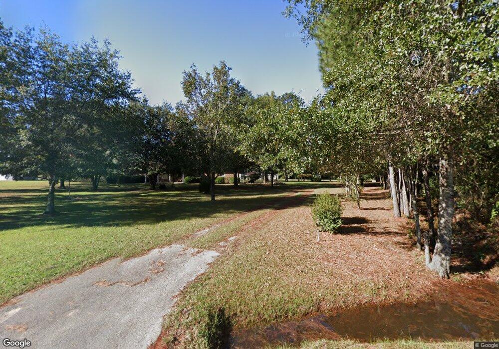
583 Mount Zion Rd Saint George, SC 29477
Estimated Value: $226,000 - $384,000
3
Beds
2
Baths
2,023
Sq Ft
$166/Sq Ft
Est. Value
About This Home
This home is located at 583 Mount Zion Rd, Saint George, SC 29477 and is currently estimated at $334,985, approximately $165 per square foot. 583 Mount Zion Rd is a home located in Dorchester County with nearby schools including Williams Memorial Elementary School, St. George Middle School, and Harleyville-Ridgeville Middle.
Ownership History
Date
Name
Owned For
Owner Type
Purchase Details
Closed on
Jul 10, 2025
Sold by
Edmonds Melvin Cecil
Bought by
Stanley Melody
Current Estimated Value
Purchase Details
Closed on
Aug 28, 2023
Sold by
Edmonds Howard C and Stanley Melody E
Bought by
Edmonds Melvin C
Purchase Details
Closed on
Apr 12, 2022
Sold by
Edmonds Melvin C
Bought by
Edmonds Howard C and Stanley Melody E
Purchase Details
Closed on
Jan 31, 2001
Sold by
James Moore and James Tammy D
Bought by
Edmonds Melvin C and Edmonds Dorma T
Create a Home Valuation Report for This Property
The Home Valuation Report is an in-depth analysis detailing your home's value as well as a comparison with similar homes in the area
Home Values in the Area
Average Home Value in this Area
Purchase History
| Date | Buyer | Sale Price | Title Company |
|---|---|---|---|
| Stanley Melody | -- | None Listed On Document | |
| Edmonds Melvin C | -- | None Listed On Document | |
| Edmonds Howard C | -- | Quattlebaum Law Firm Llc | |
| Edmonds Melvin C | $76,000 | -- |
Source: Public Records
Tax History Compared to Growth
Tax History
| Year | Tax Paid | Tax Assessment Tax Assessment Total Assessment is a certain percentage of the fair market value that is determined by local assessors to be the total taxable value of land and additions on the property. | Land | Improvement |
|---|---|---|---|---|
| 2025 | $1,800 | $12,921 | $2,520 | $10,401 |
| 2024 | $1,800 | $12,921 | $2,520 | $10,401 |
| 2023 | $1,800 | $12,044 | $1,470 | $10,574 |
| 2022 | $1,056 | $7,910 | $1,270 | $6,640 |
| 2021 | $1,056 | $7,910 | $1,270 | $6,640 |
| 2020 | $879 | $6,890 | $1,110 | $5,780 |
| 2019 | $879 | $6,890 | $1,110 | $5,780 |
| 2018 | $750 | $6,890 | $1,110 | $5,780 |
| 2017 | $745 | $6,890 | $1,110 | $5,780 |
| 2016 | $732 | $6,890 | $1,110 | $5,780 |
| 2015 | $729 | $6,890 | $1,110 | $5,780 |
| 2014 | $593 | $149,615 | $0 | $0 |
| 2013 | -- | $5,980 | $0 | $0 |
Source: Public Records
Map
Nearby Homes
- 0 Mulberry Rd Unit 22536201
- 0 Mulberry Rd Unit 25022166
- 00 Davis Terrace
- 01 Davis Terrace
- 515 Farmers Market Rd
- 678 Winningham Rd
- 686 Winningham Rd
- 461 Reeves Farm Rd
- 335 Hudson Rd
- 472 Reeves Farm Rd
- 471 Reeves Farm Rd
- 159 Bishopville Rd
- 00 Mulberry Rd
- 103 Sharon Ln
- 306 Park St
- 0 Ordie Rd Unit 22026751
- 805 Horne St
- 21 N Ridge Rd Unit Lots 21, 22 & 26
- 104 Bryant St
- 114 Leisure St
- 557 Mount Zion Rd
- 537 Mount Zion Rd
- 629 Mount Zion Rd
- 630 Mount Zion Rd
- 641 Mount Zion Rd
- 650 Mount Zion Rd
- 497 Mount Zion Rd
- 150 Walkers Hill Rd
- 479 Mount Zion Rd
- 144 Walkers Hill Rd
- 144 Walkers Hill Rd
- 118 Walkers Hill Rd
- 1352 Mulberry Rd
- 1330 Mulberry Rd
- 134 Mill Branch Rd
- 1208 Mulberry Rd
- 1216 Mulberry Rd
- 238 Davis Terrace
- 989 Mount Zion Rd
- 0 Davis Terrace Rd
