583 N Marple St Coos Bay, OR 97420
Estimated Value: $335,815 - $357,000
3
Beds
3
Baths
1,555
Sq Ft
$223/Sq Ft
Est. Value
About This Home
This home is located at 583 N Marple St, Coos Bay, OR 97420 and is currently estimated at $346,408, approximately $222 per square foot. 583 N Marple St is a home located in Coos County with nearby schools including Sunset School, Madison Elementary School, and Marshfield Senior High School.
Ownership History
Date
Name
Owned For
Owner Type
Purchase Details
Closed on
Apr 20, 2015
Sold by
Brogan Michael A and Brogan Sue A
Bought by
Cornell Susan
Current Estimated Value
Home Financials for this Owner
Home Financials are based on the most recent Mortgage that was taken out on this home.
Original Mortgage
$162,011
Outstanding Balance
$124,764
Interest Rate
3.75%
Mortgage Type
FHA
Estimated Equity
$221,644
Create a Home Valuation Report for This Property
The Home Valuation Report is an in-depth analysis detailing your home's value as well as a comparison with similar homes in the area
Home Values in the Area
Average Home Value in this Area
Purchase History
| Date | Buyer | Sale Price | Title Company |
|---|---|---|---|
| Cornell Susan | $165,000 | Ticor Title Company |
Source: Public Records
Mortgage History
| Date | Status | Borrower | Loan Amount |
|---|---|---|---|
| Open | Cornell Susan | $162,011 |
Source: Public Records
Tax History Compared to Growth
Tax History
| Year | Tax Paid | Tax Assessment Tax Assessment Total Assessment is a certain percentage of the fair market value that is determined by local assessors to be the total taxable value of land and additions on the property. | Land | Improvement |
|---|---|---|---|---|
| 2024 | $2,388 | $137,390 | -- | -- |
| 2023 | $2,316 | $133,390 | $0 | $0 |
| 2022 | $2,278 | $129,510 | $0 | $0 |
| 2021 | $2,219 | $125,740 | $0 | $0 |
| 2020 | $2,156 | $125,740 | $0 | $0 |
| 2019 | $2,070 | $118,530 | $0 | $0 |
| 2018 | $1,999 | $115,080 | $0 | $0 |
| 2017 | $1,772 | $111,730 | $0 | $0 |
| 2016 | $1,691 | $108,480 | $0 | $0 |
| 2015 | -- | $105,330 | $0 | $0 |
| 2014 | -- | $102,270 | $0 | $0 |
Source: Public Records
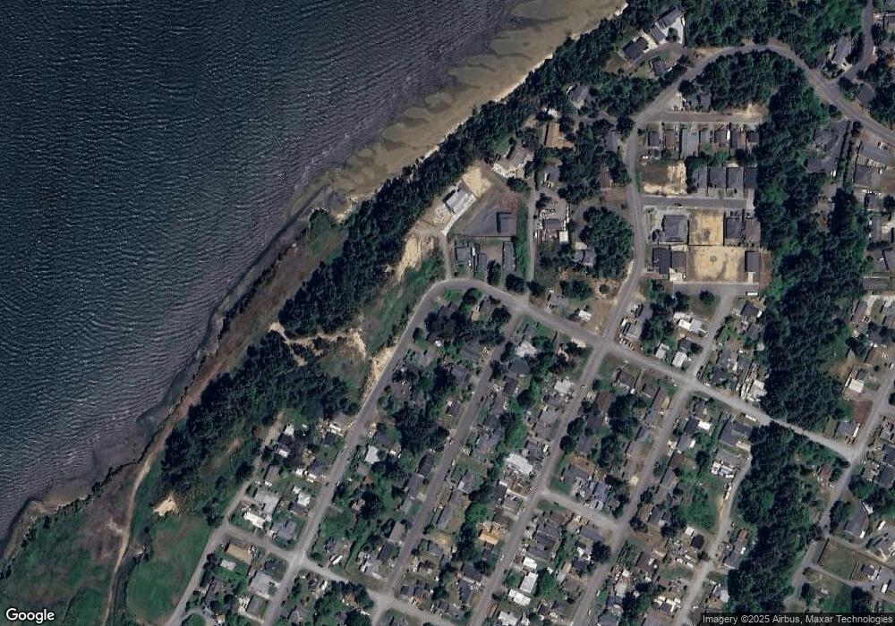
Map
Nearby Homes
- 620 John Ave
- 0 Division Ave
- 755 Edwards
- 765 Edwards
- 736 Edwards Ave
- 437 N Wasson St
- 0 N Cammann St
- 0 N Morrison St
- 903 Chickses Dr
- 715 Jackson Ave
- 283 N Main St
- 1066 Pirates Ct
- 274 N Cammann St
- 242 N Wasson St
- 1120 Lakeshore Dr
- 235 N Wall St
- 161 N Cammann St
- 1366 Lakeshore Dr
- 1022 Newmark Ave
- 1088 Newmark Ave
- 565 N Marple St
- 525 Taylor Ave
- 560 N Wall St
- 0 Division Unit 19190852
- 0 Division Unit 10005319
- 0 Division Unit 15661424
- 0 Division Unit 16266201
- 542 N Wall St
- 549 N Marple St
- 520 Taylor Ave
- 545 N Marple St
- 534 Taylor Ave
- 540 N Wall St
- 694 Patrick St
- 575 N Wall St
- 589 N Wall
- 589 N Wall St
- 569 N Wall St
- 515 N Marple St
- 522 N Wall St