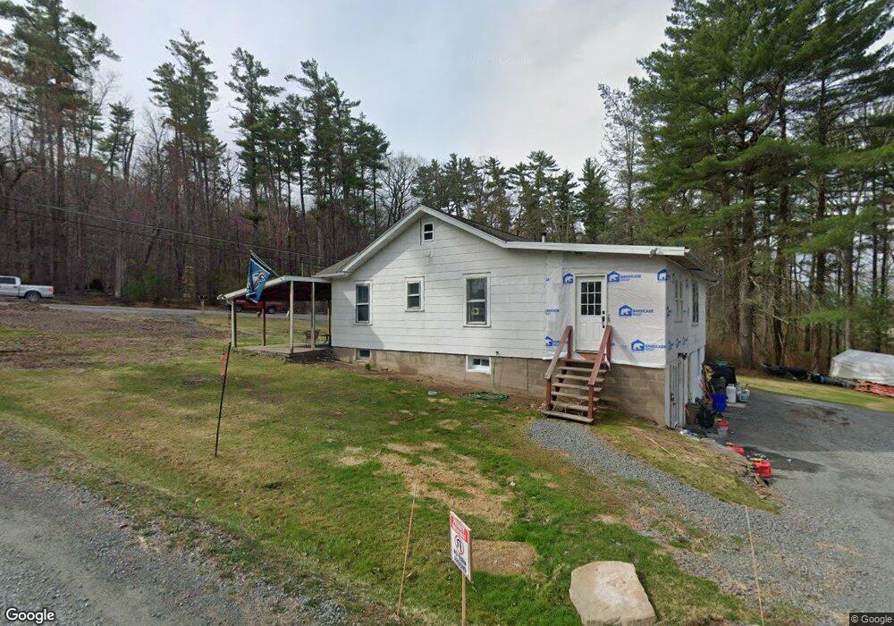
583 Route 507 Paupack, PA 18451
Estimated Value: $194,284 - $269,000
2
Beds
1
Bath
912
Sq Ft
$254/Sq Ft
Est. Value
About This Home
This home is located at 583 Route 507, Paupack, PA 18451 and is currently estimated at $231,642, approximately $253 per square foot. 583 Route 507 is a home with nearby schools including Wallenpaupack Area High School.
Ownership History
Date
Name
Owned For
Owner Type
Purchase Details
Closed on
Jul 26, 2023
Sold by
Purdytown Properties Llc
Bought by
Groo Richard A and Groo Joanne C
Current Estimated Value
Purchase Details
Closed on
Jun 28, 2017
Sold by
Laabs Paul W
Bought by
Purdytown Properties Llc
Home Financials for this Owner
Home Financials are based on the most recent Mortgage that was taken out on this home.
Original Mortgage
$36,000
Interest Rate
3.94%
Mortgage Type
Purchase Money Mortgage
Purchase Details
Closed on
Oct 10, 2008
Sold by
Laabs Paul W and The Estate Of Ruth Lutz
Bought by
Laabs Paul W
Create a Home Valuation Report for This Property
The Home Valuation Report is an in-depth analysis detailing your home's value as well as a comparison with similar homes in the area
Home Values in the Area
Average Home Value in this Area
Purchase History
| Date | Buyer | Sale Price | Title Company |
|---|---|---|---|
| Groo Richard A | $175,000 | -- | |
| Purdytown Properties Llc | $48,000 | None Available | |
| Laabs Paul W | -- | None Available |
Source: Public Records
Mortgage History
| Date | Status | Borrower | Loan Amount |
|---|---|---|---|
| Previous Owner | Purdytown Properties Llc | $36,000 |
Source: Public Records
Tax History Compared to Growth
Tax History
| Year | Tax Paid | Tax Assessment Tax Assessment Total Assessment is a certain percentage of the fair market value that is determined by local assessors to be the total taxable value of land and additions on the property. | Land | Improvement |
|---|---|---|---|---|
| 2025 | $1,393 | $12,470 | $2,050 | $10,420 |
| 2024 | $1,393 | $12,470 | $2,050 | $10,420 |
| 2023 | $1,340 | $12,470 | $2,050 | $10,420 |
| 2022 | $1,309 | $12,470 | $2,050 | $10,420 |
| 2021 | $1,271 | $12,470 | $2,050 | $10,420 |
| 2020 | $1,271 | $12,470 | $2,050 | $10,420 |
| 2019 | $1,230 | $12,470 | $2,050 | $10,420 |
| 2018 | $1,197 | $12,470 | $2,050 | $10,420 |
| 2017 | $1,152 | $12,470 | $2,050 | $10,420 |
| 2016 | $0 | $12,470 | $2,050 | $10,420 |
| 2014 | -- | $12,470 | $2,050 | $10,420 |
Source: Public Records
Map
Nearby Homes
- 802 Forest Cir
- 105 Leonard Ln
- 537 Pennsylvania 507
- 134 Laurel Trail
- 605 Waterview Ln Unit 39
- 112 Waterview Ln Unit 41
- 110 Waterview Ln Unit 31
- 0 Lot 7 Nemanie Village Unit 21-4732
- 0 Manor Woods Ct Unit 22-290
- 159 Calico Point Dr
- 1264 Goose Pond Rd
- 169 Shiny Mountain Rd
- 107 Rita Ln
- 104 Hickory Dr
- 125 N Evergreen Dr
- 130 Calico Ct
- 204 Shiny Mountain Rd
- 22 Glen Rd
- 860 Pennsylvania 507
- 209 Shiny Mountain Rd
- Unit A-1 Circle Greene
- 0 Pa-507 Unit 22-1663
- 112 Paupack Heights Dr
- 133 Idlewild Ln
- 110 Paupack Heights Dr
- 120 Whisper Ln
- 114 Paupack Heights Dr
- 108 Paupack Heights Dr
- 132 Cedar Tree Dr
- 113 Whisper Ln
- 118 Paupack Heights Dr
- 108 Birchwood Dr
- 0 Whisper Ln
- 109 Leeward Ln
- 105 Leeward Ln
- 107 Paupack Heights Dr
- 109 Whisper Ln
- 106 Paupack Heights Dr
- 115 Paupack Heights Dr
- 106 Blueberry Hill Ln