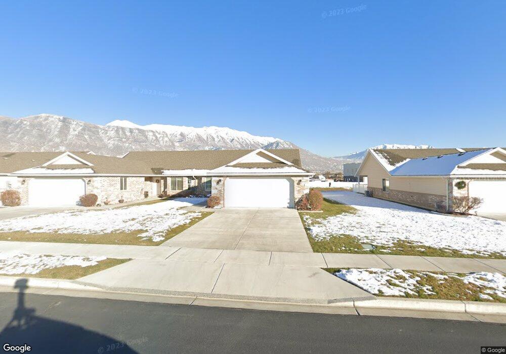
583 S 1040 E Unit 29 American Fork, UT 84003
Estimated Value: $434,000 - $475,000
3
Beds
2
Baths
1,450
Sq Ft
$315/Sq Ft
Est. Value
About This Home
This home is located at 583 S 1040 E Unit 29, American Fork, UT 84003 and is currently estimated at $457,071, approximately $315 per square foot. 583 S 1040 E Unit 29 is a home located in Utah County with nearby schools including Barratt Elementary School, American Fork Junior High School, and American Fork High School.
Ownership History
Date
Name
Owned For
Owner Type
Purchase Details
Closed on
Nov 6, 2024
Sold by
Rena Mae Taylor Trust and Williamson Vicki
Bought by
Rodgers Cherol
Current Estimated Value
Purchase Details
Closed on
Oct 30, 2024
Sold by
Elder Taylor Rena Mae
Bought by
Rena Mae Taylor Trust and Williamson
Purchase Details
Closed on
Dec 23, 2014
Sold by
S B Smoot Construction Inc
Bought by
Taylor Rena Mae
Create a Home Valuation Report for This Property
The Home Valuation Report is an in-depth analysis detailing your home's value as well as a comparison with similar homes in the area
Home Values in the Area
Average Home Value in this Area
Purchase History
| Date | Buyer | Sale Price | Title Company |
|---|---|---|---|
| Rodgers Cherol | -- | Inwest Title | |
| Rodgers Cherol | -- | Inwest Title | |
| Rodgers Cherol | -- | Inwest Title | |
| Rena Mae Taylor Trust | -- | None Listed On Document | |
| Taylor Rena Mae | -- | Provo Land Title Co |
Source: Public Records
Tax History Compared to Growth
Tax History
| Year | Tax Paid | Tax Assessment Tax Assessment Total Assessment is a certain percentage of the fair market value that is determined by local assessors to be the total taxable value of land and additions on the property. | Land | Improvement |
|---|---|---|---|---|
| 2025 | $1,969 | $222,750 | $95,600 | $309,400 |
| 2024 | $1,969 | $218,735 | $0 | $0 |
| 2023 | $1,806 | $212,740 | $0 | $0 |
| 2022 | $1,950 | $226,655 | $0 | $0 |
| 2021 | $1,746 | $317,000 | $80,000 | $237,000 |
| 2020 | $1,698 | $299,100 | $80,000 | $219,100 |
| 2019 | $1,524 | $277,500 | $80,000 | $197,500 |
| 2018 | $1,414 | $246,300 | $80,000 | $166,300 |
| 2017 | $1,412 | $132,715 | $0 | $0 |
| 2016 | $1,480 | $129,250 | $0 | $0 |
| 2015 | $1,560 | $129,250 | $0 | $0 |
Source: Public Records
Map
Nearby Homes
- 502 S 1040 E Unit 252
- 502 S 1040 E Unit 221
- 502 S 1040 E Unit 137
- 502 S 1040 E Unit 243
- 502 S 1040 E Unit 226
- 29 S 2000 W
- 1088 E 390 S
- 477 S 850 E
- 1795 W 120 S Unit 52
- 796 E 500 S
- 1775 W 120 S Unit 54
- 782 E 500 S
- 128 S 1700 W Unit 12
- 1593 W 110 N Unit 4
- 1584 W 110 N
- 293 N 1630 W
- 1593 W 220 N
- 1559 W 50 N
- 1542 W 110 N
- 295 N 1580 W
- 583 S 1040 E
- 581 S 1040 E Unit 28
- 581 S 1040 E
- 595 S 1040 E Unit 30
- 567 S 1040 E Unit 27
- 597 S 1040 E Unit 31
- 565 S 1040 E Unit 26
- 601 S 1040 E Unit 32
- 572 S 1040 E
- 572 S 1040 E Unit 50
- 553 S 1040 E Unit 25
- 564 S 1040 E Unit 55
- 603 S 1040 E
- 603 S 1040 E Unit 33
- 584 S 1040 E
- 552 S 1040 E Unit 56
- 551 S 1040 E Unit 24
- 574 S 1040 E Unit 51
- 574 S 1040 E
- 566 S 1040 E Unit 54