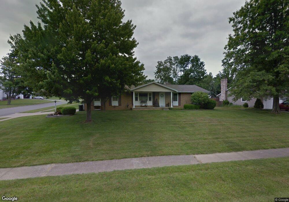
583 Sequoia Ln Mansfield, OH 44904
Estimated Value: $240,925 - $276,000
3
Beds
2
Baths
1,468
Sq Ft
$173/Sq Ft
Est. Value
About This Home
This home is located at 583 Sequoia Ln, Mansfield, OH 44904 and is currently estimated at $253,481, approximately $172 per square foot. 583 Sequoia Ln is a home located in Richland County with nearby schools including Lexington High School, Mansfield Christian School, and Discovery School.
Ownership History
Date
Name
Owned For
Owner Type
Purchase Details
Closed on
Mar 26, 2004
Sold by
Vavra Michael A and Vavra Bridgette E
Bought by
Collins Robert S and Collins Elizabeth J
Current Estimated Value
Home Financials for this Owner
Home Financials are based on the most recent Mortgage that was taken out on this home.
Original Mortgage
$162,200
Outstanding Balance
$76,276
Interest Rate
5.65%
Mortgage Type
Purchase Money Mortgage
Estimated Equity
$177,205
Purchase Details
Closed on
Jun 15, 1998
Sold by
Ueyama Suetaka
Bought by
Vavra Michael A and Lamp Bridgette E
Home Financials for this Owner
Home Financials are based on the most recent Mortgage that was taken out on this home.
Original Mortgage
$66,000
Interest Rate
7.32%
Mortgage Type
New Conventional
Purchase Details
Closed on
Jul 31, 1990
Sold by
Ueyma Suetaka
Bought by
Ueyama Suetaka
Create a Home Valuation Report for This Property
The Home Valuation Report is an in-depth analysis detailing your home's value as well as a comparison with similar homes in the area
Home Values in the Area
Average Home Value in this Area
Purchase History
| Date | Buyer | Sale Price | Title Company |
|---|---|---|---|
| Collins Robert S | $133,000 | Chicago Title | |
| Vavra Michael A | $106,000 | -- | |
| Ueyama Suetaka | $86,900 | -- |
Source: Public Records
Mortgage History
| Date | Status | Borrower | Loan Amount |
|---|---|---|---|
| Open | Collins Robert S | $162,200 | |
| Closed | Vavra Michael A | $66,000 |
Source: Public Records
Tax History
| Year | Tax Paid | Tax Assessment Tax Assessment Total Assessment is a certain percentage of the fair market value that is determined by local assessors to be the total taxable value of land and additions on the property. | Land | Improvement |
|---|---|---|---|---|
| 2024 | $2,982 | $62,420 | $16,120 | $46,300 |
| 2023 | $3,052 | $62,420 | $16,120 | $46,300 |
| 2022 | $2,688 | $47,320 | $12,180 | $35,140 |
| 2021 | $2,697 | $47,320 | $12,180 | $35,140 |
| 2020 | $2,699 | $47,320 | $12,180 | $35,140 |
| 2019 | $2,480 | $40,100 | $10,320 | $29,780 |
| 2018 | $2,111 | $40,100 | $10,320 | $29,780 |
| 2017 | $2,127 | $40,100 | $10,320 | $29,780 |
| 2016 | $2,166 | $40,790 | $10,010 | $30,780 |
| 2015 | $2,165 | $40,790 | $10,010 | $30,780 |
| 2014 | $2,165 | $40,790 | $10,010 | $30,780 |
| 2012 | $1,052 | $42,050 | $10,320 | $31,730 |
Source: Public Records
Map
Nearby Homes
- 594 Dirlam Ln
- 540 Sherwood Dr
- 615 Bailey Dr
- 450 Marwood Dr
- 601 Karlson Dr
- 635 Karlson Dr
- 1521 Cape Cod Dr
- 1510 Cape Cod Dr Unit 1504
- 1938 Richwood Dr
- 1702 Middle Bellville Rd
- 1689 Middle Bellville Rd
- 763 York St W
- 0 Rippling Brook Dr
- 680 Weller Ave
- 2160 Haywood Dr
- 670 Fuhrer Ave
- 1490 Hess Cir
- 0 Lot #23132 Hess Cir
- 0 Lot #23127 Hess Cir
- 0 Lot #23139 Hess Cir
Your Personal Tour Guide
Ask me questions while you tour the home.